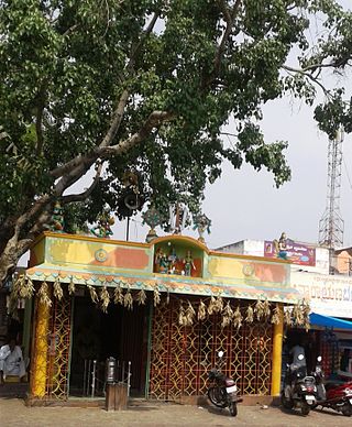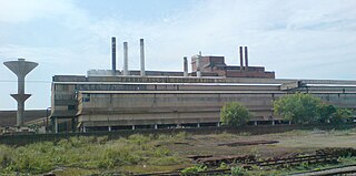
Kanakapura is a city in the Bengaluru South district of Karnataka on the banks of the Arkavathi river and the administrative center of the taluk of the same name. Kanakapura is largest cocoon silk producer in India. River Cauvery flows around 21 km in Kanakapura Taluk.Previously belonged to Bangalore Rural District. It was formerly the largest constituency in the country. (1,553 km2 [600 sq mi]). It is located among the lush green forests of the state of Karnataka. The town is a tourism hotspot and an often visited tourist favorite in the entire state of Karnataka, as it has something for everyone ranging from avid trekkers to history buffs and wildlife enthusiasts. The forest area in this taluk is very wide and about half of the Bannerghatta National Park is located in our Kanakapura area. Kodihalli wildlife range and harohalli wildlife range its division. The Kaveri Wildlife Sanctuary consists of two main zones namely the Sangam Wildlife range, the Muggur Wildlife range
Bhimarayanagudi is a town administered by a notified area committee in Shahpur Taluk of Yadgir district, in the state of Karnataka, India. It is approximately 4 km by road north of Shahpur town. It is also referred to as B.Gudi and Bhimarayanagudi camp.
Boothipuram is a panchayat town in Theni district in the state of Tamil Nadu, India.
Chhipabarod is a census town in Baran district in the state of Rajasthan, India.
Chintalavalasa is a census town in Vizianagaram district of the Indian state of Andhra Pradesh. It is located in Denkada mandal of Vizianagaram revenue division.

Gajapathinagaram is a census town in Vizianagaram district of the Indian state of Andhra Pradesh. It is located in Gajapathinagaram mandal of Vizianagaram revenue division. It is located on National Highway 26 between Vizianagaram and Ramabhadrapuram.
Ghatlodiya is an area in Ahmedabad in the state of Gujarat, in western India.
Jarajapupeta is a census town in Vizianagaram district of the Indian state of Andhra Pradesh. It is located in Nellimarla mandal of Vizianagaram revenue division.
Jattari is a town. It comes under Khair Tehsil of Aligarh district in the Indian state of Uttar Pradesh. It lies on Aligarh–Palwal highway, 45 km ahead from Aligarh towards Palwal.
Kanapaka is a census town in Vizianagaram district in the Indian state of Andhra Pradesh.
Kantabamsuguda is a census town in Anakapalli district of the Indian state of Andhra Pradesh.
Khetia is a town and a nagar panchayat in the Barwani district in the Indian central western state of Madhya Pradesh.The town share its border with the state of Maharashtra and connectivity for the state of Gujarat.

Kothavalasa is a town in Vizianagaram district of the Indian state of Andhra Pradesh. It is located in Kothavalasa mandal of Vizianagaram revenue division. It is located 30 km from the city of Visakhapatanam
Mahalingpur or Mahalingapura in Kannada is a town of Bagalkot district in the Indian state of Karnataka. Agriculture, weaving and jaggery production are the primary industries here. In the past, town was called as Naragatti. Later renamed as Mahalingpur after the gracious appearance of Lord Shri Mahalingeshwara. People speak typical Kannada, understand English and Hindi. The town is known for its picturesque surroundings and pleasant climate. The Ghataprabha River flows through nearby Nandagaon village from its source, which lies to the southwest of the town, and in Kudala Sangama gets merge with Krishna. Mahalingpur is one of the major commercial towns in the Bagalkot district. Jaggery and Saari's are common export marketing stuffs here.
Moragudi is a census town in Kadapa district in the Indian state of Andhra Pradesh.
Palavakam is a locality in the south of Chennai and census town in Chennai district in the Indian state of Tamil Nadu. It is located on the East Coast Road about 6 km south of Adyar.

Sriramnagar is a census town in Vizianagaram district of the Indian state of Andhra Pradesh. It is located in Garividi mandal of Vizianagaram revenue division.
Thingalnagar is the town panchayat, located in Kanniyakumari district in the Indian state of Tamil Nadu.
Rameswaram is a census town in Cuddapah district inside Proddatur in the Indian state of Andhra Pradesh.


