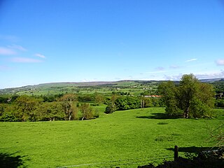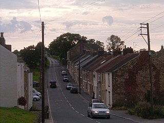
Willington is a town and former civil parish, now in the parish of Greater Willington, in the County Durham district, in the ceremonial county of Durham, England, in the foothills of the Pennines and near the River Wear close to Crook, Bishop Auckland and Durham.

Bishop Auckland is a market town and civil parish at the confluence of the River Wear and the River Gaunless in County Durham, England. It is 12 miles (19 km) northwest of Darlington and 12 miles (19 km) southwest of Durham.

Wear Valley was, from 1974 to 2009, a local government district in County Durham, England. Its council and district capital was Crook.

The Metropolitan Borough of Gateshead is a metropolitan borough in the metropolitan county of Tyne and Wear, North East England. It includes Gateshead, Rowlands Gill, Whickham, Blaydon, Ryton, Felling, Birtley, Pelaw, Dunston and Low Fell. The borough forms part of the Tyneside conurbation, centred on Newcastle upon Tyne.

Bishop Auckland Football Club is a football club based in Bishop Auckland, County Durham, England. They are one of the most successful amateur sides, having won the FA Amateur Cup ten times and reached the final on a further eight occasions. Nicknamed 'The Bishops' or 'The Two Blues', they are rivals with West Auckland Town.
Eldon is a village in County Durham, England. It is situated a few miles south-west of Bishop Auckland, a short distance from Shildon. It gives its name to the peerage of the Earls of Eldon.

Weardale is a dale, or valley, on the east side of the Pennines in County Durham, England. Large parts of Weardale fall within the North Pennines Area of Outstanding Natural Beauty (AONB) – the second-largest AONB in England and Wales. The upper dale is surrounded by high fells and heather grouse moors. The River Wear flows through Weardale before reaching Bishop Auckland and then Durham, meeting the sea at Sunderland.

Woodside is a village in County Durham, England. It is situated 2 miles (3 km) to the west of Bishop Auckland. In the 2001 census Woodside had a population of 153.
Leasingthorne is a small village in County Durham, England. It is situated to the east of Bishop Auckland, near Coundon. Located in the Durham Coalfield, most of the former pit village of Leasingthorne was demolished in 1969 after the colliery closed, as Durham County Council's policy at the time preferred demolition over regeneration. There was also a brickworks in the village. In the 2001 census the village had a population of 41.
Low Westwood is a village in County Durham, England. It is situated immediately to the west of Hamsterley. Low Westwood is probably best known for Hamsterley Christ Church and Derwent care home.
Hamsterley is a village in County Durham, England. It is situated to the north of Consett and borders the hamlet of Low Westwood.
New Coundon is a small village in County Durham, in England. It is situated to the west of Coundon, near Bishop Auckland. In the 2001 census New Coundon had a population of 41.

Harwood is a small valley and village near the head of Teesdale. Harwood Beck is a tributary of the River Tees in County Durham which forms a short valley, and the village is made of the scattered houses and farms which run the length of the valley. The valley forms part of the North Pennines AONB. Lying along the B6277, the village is 9 miles (14 km) north-west of Middleton-in-Teesdale and 21 miles (34 km) south-east of Alston in Cumbria. It is in the civil parish of Forest and Frith, and the Bishop Auckland parliamentary constituency.

Stanhope is a market town and civil parish in the County Durham district, in the ceremonial county of Durham, England. It lies on the River Wear between Eastgate and Frosterley, in the north-east of Weardale. The main A689 road over the Pennines is crossed by the B6278 between Barnard Castle and Shotley Bridge. In 2001 Stanhope had a population of 1,633, in 2019 an estimate of 1,627, and a figure of 1,602 in the 2011 census for the ONS built-up-area which includes Crawleyside. In 2011 the parish population was 4,581.

Bishop Auckland is a constituency in County Durham represented in the House of Commons of the UK Parliament since 2019 by Dehenna Davison, a Conservative.
The Walney to Wear and Whitby Cycle Route is the name of a cross-country cycle route in Northern England. It runs from Walney Island in Cumbria to Sunderland on the River Wear or Whitby.

West Auckland Town Football Club is a football club from West Auckland, near Bishop Auckland in County Durham, England, competing in the Northern League, in the ninth tier of the English football league system. The club is most famous for being the winners of the Sir Thomas Lipton Trophy, one of the world's first international footballing competitions, twice, in 1909 and 1911.
National Cycle Network (NCN) Route 70 is a Sustrans National Route that runs from Walney Island in Cumbria to Sunderland. The route is fully open and signed. From end to end the route is 149 miles (240 km), but two sections are shared with other NCN routes leaving Route 70 at 128 miles (206 km).


