Kyengera

Last updated
Kyengera
Uganda location map.svg
Red pog.svg
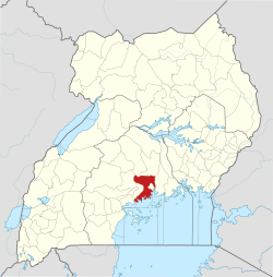
Kyengera
Map of Uganda showing the location of Kyengera
Coordinates: 00°17′46″N32°30′19″E / 0.29611°N 32.50528°E / 0.29611; 32.50528
CountryFlag of Uganda.svg Uganda
Region Central Region
District Wakiso District
County Busiro
Constituency Busiro East
Population
 (2024 Census) [1]
  Total
311,112
Time zone UTC+3 (EAT)

Kyengera is a town in the Central Region of Uganda. It is one of the urban centers in Wakiso District. [2]

Contents

Location

The town is on the tarmacked, all-weather Kampala-Masaka Highway. Kyengera is approximately 9 kilometres (5.6 mi), by road, south-west of Kampala, Uganda's capital and largest city. [3] The coordinates of the town are 0°17'46.0"N, 32°30'19.0"E (Latitude:0.296112; Longitude:32.505275). [4]

Points of interest

The following points of interest lie within the town limits or near the edges of town:

References

  1. Uganda Bureau of Statistics (14 June 2020). "The population of all Ugandan cities and towns with more than 15,000 inhabitants according to census results and latest official projections". Citypopulation.de Quoting Uganda Bureau of Statistics.
  2. "Profile of Wakiso District". Uganda Travel Guide. 2 July 2014. Archived from the original on 5 July 2020. Retrieved 2 July 2014.
  3. "Map Showing Kampala And Kyengera With Distance Marker". Globefeed.com. Retrieved 2 July 2014.
  4. "Location of Kyengera At Google Maps" (Map). Google Maps . Retrieved 4 July 2015.
  5. "Kampala-Entebbe Highway On Track, Chinese Want To Build Railway Line". New Vision. 10 May 2014. Retrieved 2 July 2014.

00°17′46″N32°30′19″E / 0.29611°N 32.50528°E / 0.29611; 32.50528