Kajjansi

Last updated
Kajjansi
Ponds at Aquaculture Research and Development Centre, Kajjansi.JPG
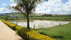
Ponds at the Aquaculture Research and Development Centre, Kajjansi
Uganda location map.svg
Red pog.svg
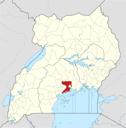
Kajjansi
Map of Uganda showing the location of Kajjansi
Coordinates: 00°12′54″N32°33′00″E / 0.21500°N 32.55000°E / 0.21500; 32.55000
CountryFlag of Uganda.svg Uganda
Region Central Uganda
District Wakiso District
Elevation
1,180 m (3,870 ft)
Population
 (2024 Census) [1]
  Total
155,058
Time zone UTC+3 (EAT)
Kajjansi Airfield sign. Kajjansi Airfield sign.jpg
Kajjansi Airfield sign.
Kampala- Entebbe Express high way approaching Kajjansi from Lweza Kampala- Entebbe Express high way approaching Kajjansi from Lweza.jpg
Kampala- Entebbe Express high way approaching Kajjansi from Lweza

Kajjansi is a town in Central Uganda. It is one of the urban centers in Wakiso District.

Contents

Kajjansi Airport Kajjansi Airport, MAF Uganda - Flickr - Dave Proffer (3).jpg
Kajjansi Airport

Location

The township is situated on the tarmacked, all-weather Kampala - Entebbe Road. Kajjansi is located approximately 16 kilometres (9.9 mi), by road, south of Kampala, Uganda's capital and largest city. [2] This location is approximately 25 kilometres (16 mi), by road, north of Entebbe International Airport, Uganda's largest civilian and military airport. [3] The coordinates of Kajjansi are:0°12'54.0"N, 32°33'00.0"E (Latitude:0.2150; Longitude:32.5500). [4]

Population

In 2006, the population of Kajjansi was estimated at 7,530. [5]

Points of interest

The following points of interest lie within the town limits or close to the edges of town:

See also

References

  1. Uganda Bureau of Statistics (14 June 2020). "The population of all Ugandan cities and towns with more than 15,000 inhabitants according to census results and latest official projections". Citypopulation.de Quoting Uganda Bureau of Statistics.
  2. "Road Distance Between Kampala And Kajjansi With Map". Globefeed.com. Retrieved 17 April 2004.
  3. "Road Distance Between Entebbe Airport and Kajjansi with Map". Globefeed.com. Retrieved 17 April 2014.
  4. "Location of Kajjansi At Google Maps" (Map). Google Maps . Retrieved 4 July 2015.
  5. "Estimated Population of Kajjansi In 2006". Mongabay.com. Retrieved 17 April 2014.

00°12′54″N32°33′00″E / 0.21500°N 32.55000°E / 0.21500; 32.55000