Lutzville | |
|---|---|
 Lutzville  Lutzville | |
| Coordinates: 31°33′S18°21′E / 31.550°S 18.350°E | |
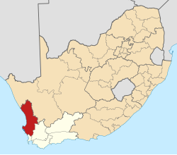
| Country | South Africa |
| Province | Western Cape |
| District | West Coast |
| Municipality | Matzikama |
| Area | |
• Total | 1.65 km2 (0.64 sq mi) |
| Population (2011) [1] | |
• Total | 1,108 |
| • Density | 670/km2 (1,700/sq mi) |
| Racial makeup (2011) | |
| • Black African | 11.4% |
| • Coloured | 25.2% |
| • Indian/Asian | 0.9% |
| • White | 62.1% |
| • Other | 0.4% |
| First languages (2011) | |
| • Afrikaans | 92.3% |
| • English | 3.5% |
| • Tswana | 1.1% |
| • Other | 2.6% |
| Time zone | UTC+2 (SAST) |
| Postal code (street) | 8165 |
| PO box | 8165 |
| Area code | 027 |

Lutzville is a settlement in West Coast District Municipality in the Western Cape province of South Africa. It falls under the Matzikama Local Municipality.
Village 22 km north-west of Vredendal and 45 km west of Vanrhynsdorp. Established in August 1923 as Vlermuisklip, but later (~1950) renamed after its founder, Johan J Lutz. [2]
Lutzville is located next to the Olifants River and at high tide it is possible to navigate in a flat-bottomed boat to Papendorp, about 30 km downstream near the river's mouth. [3]