
Negros Oriental, also called Oriental Negros or Eastern Negros, is a province located in the region of Central Visayas, in the Philippines. It occupies the southeastern half of the large island of Negros, and borders Negros Occidental, which comprises the northwestern half. It also includes Apo Island, a popular dive site for both local and foreign tourists.
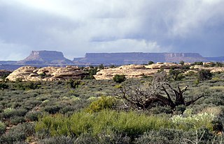
Mesa is the American English term for tableland, an elevated area of land with a flat top and sides that are usually steep cliffs. It takes its name from its characteristic table-top shape. It may also be called a table hill, table-topped hill or table mountain. It is larger than a butte, which it otherwise resembles closely.

Cauca Department is a Department of Colombia. Located in the southwestern part of the country, facing the Pacific Ocean to the west, the Valle del Cauca Department to the north, Tolima Department to the northeast, Huila Department to the east, and Nariño Department to the south. Putumayo and Caqueta Departments border the southeast portion of Cauca Department as well. It covers a total area of 29,308 km2 (11,316 sq mi), the 13th largest in Colombia. Its capital is the city of Popayán. The offshore island of Malpelo belongs to the department. It is located in the southwest of the country on the Andean and Pacific regions. The area includes 2.56% of the country.

Salvador Benedicto, officially the Municipality of Salvador Benedicto and also known as Don Salvador Benedicto, is a 4th class municipality in the province of Negros Occidental, Philippines. According to the 2015 census, it has a population of 25,662 people.

John Preston "Pete" Hill was an American outfielder and manager in baseball's Negro leagues from 1899 to 1925. He played for the Philadelphia Giants, Leland Giants, Chicago American Giants, Detroit Stars, Milwaukee Bears, and Baltimore Black Sox. Hill starred for teams owned by Negro league executive Rube Foster for much of his playing career.
The Pittsburgh Keystones was the name of two historic professional Negro league baseball teams that operated in 1887 and again in 1921 and 1922. The first team was a member of the first black baseball league in 1887, the League of Colored Baseball Clubs. The league only lasted a week, which resulted in a 3-4 record for the Keystones, and included Weldy Walker, the second African-American to play in the major leagues and future hall of famer, Sol White.

Morro Negro is a hill located near the east coast of the island of Boa Vista, Cape Verde. Its elevation is 156 m. The nearest village is Cabeça dos Tarrafes, 5.5 km to the northwest.

Ojos Negros is a municipality located in the province of Teruel, Aragon, Spain. According to the 2004 census (INE), the municipality has a population of 531 inhabitants.
The Quemahoning Tunnel is a tunnel that was constructed for use on the stillborn South Pennsylvania Railroad. The tunnel is located in Somerset County, Pennsylvania near the 106.3 milemarker of the Pennsylvania Turnpike.
The Negro Mountain Tunnel is a tunnel located in Negro Mountain in Somerset County, Pennsylvania. It was built by New York Central Railroad as part of the proposed but never completed South Pennsylvania Railroad, which over time became known as "Vanderbilt's Folly". The tunnel is located near milepost 116.7 on the Pennsylvania Turnpike where it is ten miles east of the Quemahoning Tunnel, 16 miles east of the Laurel Hill Tunnel, and seven miles west of the Allegheny Mountain Tunnel currently used by the Turnpike.
Negro Mountain is a long ridge of the Allegheny Mountains, stretching 30-mile (48 km) from Deep Creek Lake in Maryland, north to the Casselman River in Pennsylvania, United States. The summit, Mount Davis, is the highest point in Pennsylvania. Negro Mountain is flanked by Laurel Hill to the west and Allegheny Mountain to the east.

Laurel Hill, also known as Laurel Ridge or Laurel Mountain, is a 70-mile-long (110 km) mountain in Pennsylvania's Allegheny Mountains. This ridge is flanked by Negro Mountain to its east and Chestnut Ridge to its west. The mountain is home to six state parks: Laurel Ridge State Park, Laurel Mountain State Park, Linn Run State Park, Kooser State Park, Laurel Hill State Park, and Ohiopyle State Park. The 70-mile-long (110 km) Laurel Highlands Hiking Trail runs the length of the ridge.
Negro Flat is a former settlement in Nevada County, California. Negro Flat is located 0.25 miles (0.4 km) southwest of Remington Hill. It still appeared on maps as of 1873.
Negros is the fourth largest island of the Philippines, with a land area of 13,309.60 km2 (5,138.87 sq mi). Negros is one of the many islands that comprise the Visayas, which forms the central division of the nation. The predominant inhabitants of the island region are mainly called Negrenses. As of 2015, Negros' total population is 4,414,131 inhabitants.
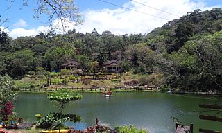
Mambukal Resort, officially the Township of Mambukal or simply known as Mambukal, is a resort township located within the boundaries of the municipality of Murcia, Negros Occidental. As a township, it is directly governed by the Provincial Government of Negros Occidental, which also manages Mambukal Mountain Resort in the 6-hectare townsite near Brgy. Minoyan. The resort is owned and managed by the Provincial Government of Negros Occidental under its Economic Enterprise Development Department.

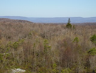
Roundtop is a mountain located in the Catskill Mountains of New York east-northeast of Roxbury. Hack Flats is located west-southwest, Negro Hill is located north, and Bearpen Mountain is located southeast of Roundtop.
Ferris Hill is a mountain located in the Catskill Mountains of New York northeast of Roxbury. Jump Hill is located west and Negro Hill is located southeast of Ferris Hill.
Clay Hill is a mountain located in the Catskill Mountains of New York east-northeast of Roxbury. Negro Hill is located west and Ferris Hill is located northwest of Clay Hill.

Prospect Hill is a mountain in Greene County, New York. It is located in the Catskill Mountains northwest of Prattsville. Negro Hill is located west-northwest, Dog Hill is located northeast, and Pratt Rocks is located east-southeast of Prospect Hill.


