Ellis County is a county located in the U.S. state of Texas. As of 2020, its population was estimated to be 192,455. The county seat is Waxahachie. The county was founded in 1849 and organized the next year. It is named for Richard Ellis, president of the convention that produced the Texas Declaration of Independence. Ellis County is included in the Dallas–Fort Worth–Arlington metropolitan statistical area.

Mecosta County is a county located in the U.S. state of Michigan. As of the 2020 Census, the population was 39,714. The county seat is Big Rapids.

Arietta is a town in Hamilton County, New York, United States. The population was 292 at the 2020 census. The town was named after the mother of one of the first settlers, Rensselaer Van Rennslaer.

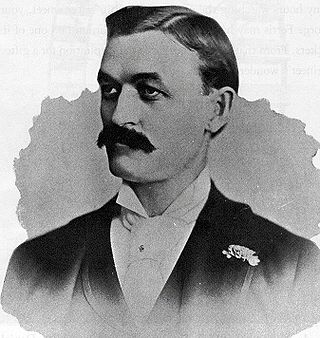
George Washington Gale Ferris Jr. was an American civil engineer. He is mostly known for creating the original Ferris Wheel for the 1893 Chicago World's Columbian Exposition.

The North Side is the region of Pittsburgh, Pennsylvania, located to the north of the Allegheny River and the Ohio River.

Mount Hayes is the highest mountain in the eastern Alaska Range, in the U.S. state of Alaska. Despite not being a fourteener, it is one of the largest peaks in the United States in terms of rise above local terrain. For example, the Northeast Face rises 8,000 feet (2,440 m) in approximately 2 miles (3.2 km). This large vertical relief contributes to Mount Hayes being the 51st most topographically prominent peak in the world.

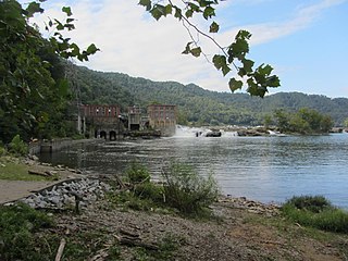
Glen Ferris is a census-designated place (CDP) on the western bank of the Kanawha River in Fayette County, West Virginia, United States. It is situated approximately one mile south of the town of Gauley Bridge and adjacent to Kanawha Falls. The sole highway linking Glen Ferris to the area is U.S. Route 60, known also as the Midland Trail. As of the 2010 census, its population was 203; the community had 104 housing units, 87 of which were occupied. The village is roughly a mile and a half in length. Glen Ferris is home to two churches, one Apostolic and one Methodist. A railway owned by Norfolk Southern runs parallel to US Route 60 through the village.
Warren Angus Ferris was a trapper, cartographer and diarist in the Rocky Mountains from 1830 to 1835. From 1829–1835, he traveled to Cache Valley and the Snake River area with the American Fur Company. With the help of Native American guides, he explored what is now Yellowstone National Park in 1834. He recorded his experiences in a journal that was published as the book Life in the Rocky Mountains in 1940. The book contained the first settler-made map of the area, called the "Map of the Northwest Fur Country." Ferris became a surveyor in Texas in the area that is now Dallas. He also served on the Texas State Congress. Ferris settled down as a farmer in his later life and wrote articles for a local Dallas newspaper.

Scott Ferris was a U.S. Representative from Oklahoma.

John Edward Ferris was an American competition swimmer, for Stanford University, a winer of two bronze medals in the 1968 Olympics in butterfly and medley events, and a one-time world record-holder.
Cannelton is an unincorporated community in Fayette County, West Virginia, United States. Cannelton is 1 mile (1.6 km) northeast of Smithers, along Smithers Creek. Cannelton has a post office with ZIP code 25036. The community was named for the deposits of cannel coal in the area.

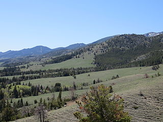
The Ferris Mountains are a small mountain range in Carbon County, Wyoming. A high white cliff undulates along the entire length of the south side of the range, making it uniquely noticeable. The cliff is predominantly visible from U.S. Route 287. The highest peak in the range is Ferris Peak, which rises to an elevation of 10,037 feet (3,059 m). Ferris peak stands 3,000 feet (910 m) above the surrounding valley, and is the highest peak in the Great Divide Basin.
Negro Hill is a mountain located in the Catskill Mountains of New York northeast of Roxbury. Roundtop is located south-southwest, Clay Hill is located east and Ferris Hill is located northwest of Negro Hill.
Jump Hill is a mountain located in the Catskill Mountains of New York north-northeast of Roxbury. Ferris Hill is located east and Moresville Range is located west of Jump Hill.
Clay Hill is a mountain located in the Catskill Mountains of New York east-northeast of Roxbury. Negro Hill is located west and Ferris Hill is located northwest of Clay Hill.
Red Hill is a mountain located in the Catskill Mountains of New York east-south of Frost Valley. Woodhull Mountain is located northeast of Red Hill.
Gallis Hill is a 794-foot-tall (242 m) mountain in the Catskill Mountains region of New York. It is located northwest of Kingston in Ulster County. Jockey Hill is located north-northeast, and Morgan Hill is located west of Gallis Hill. In 1927, the Conservation Department built a steel fire lookout tower on the mountain. In 1950, the tower was closed and disassembled then moved to Overlook Mountain, where it still remains today.
Leonard Hill is a 2,592-foot-tall (790 m) mountain in Schoharie County, New York. It is located east-southeast of North Blenheim. Safford Hill is located northwest and Hubbard Hill is located southeast of Leonard Hill. In 1948, the Conservation Commission built an 80-foot-tall (24 m) steel fire lookout tower on the mountain. The tower ceased fire watching operations at the end of the 1988 season and was officially closed in early 1989. The tower remains on the summit, but is closed to the public. A local group is planning to restore the tower and reopen it to the public.
Washburn Mountain is a 1,496-foot-tall (456 m) mountain in New York. It is located south-southeast Copake Falls in Columbia County. From 1932 to 1964, the mountain was the location of a 60-foot-tall (18 m) steel fire lookout tower now located on Beebe Hill. Alander Mountain is located southeast of Washburn Mountain.


