Related Research Articles

Mount Agung is an active volcano in Bali, Indonesia, southeast of Mount Batur volcano, also in Bali. It is the highest point on Bali, and dominates the surrounding area, influencing the climate, especially rainfall patterns. From a distance, the mountain appears to be perfectly conical. From the peak of the mountain, it is possible to see the peak of Mount Rinjani on the nearby island of Lombok, to the east, although both mountains are frequently covered in clouds. Agung is a stratovolcano, with a large and deep crater. Its most recent eruptions occurred from 2017–2019.

Mount Rinjani is an active volcano in Indonesia on the island of Lombok. Administratively the mountain is in the Regency of North Lombok, West Nusa Tenggara. It rises to 3,726 metres (12,224 ft), making it the second highest volcano in Indonesia. It is also the highest point in the Indonesian province of West Nusa Tenggara.

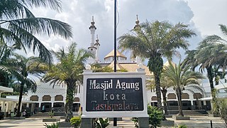
Tasikmalaya is a landlocked city in West Java, Indonesia. The city is sometimes dubbed kota santri or "the City of a Thousand Pesantrens" for its abundance of Islamic boarding schools. Located around 120 kilometres (75 mi) southeast from the provincial capital of Bandung, Tasikmalaya is passed by Indonesian National Route 3.

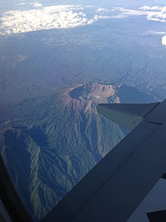
Mount Raung is one of the most active volcanoes on the island of Java in Indonesia. It is located in the province of East Java and has a 2-kilometer-wide (1.2 mi) and 500-meter-deep (1,600 ft) caldera surrounded by a grayish rim. The difference in color of the rim and the flanks of the volcanoes is caused by the rim’s lack of vegetation compared with the healthy and extensive vegetation on the flanks. Raung, standing almost 3,332 metres (10,932 ft) above sea level, is the tallest volcano of this cluster.
Batin may refer to:
Mount Rinjani National Park is located on the island of Lombok, Indonesia in the North Lombok Regency. The park covers about 41,330 hectares and consists of mountainous areas. Mount Rinjani, which is the third highest volcano of Indonesia at 3,726 metres (12,224 ft), is located in this national park, giving this park its name.

Tanjung Harapan Airport is an airport in Tanjung Selor, North Kalimantan, Indonesia. It is located on the island of Kalimantan, also known as Borneo.

Hafar al-Batin, also frequently spelled Hafr al-Batin, is a Saudi Arabian city in the Eastern Province. It is located 430 km north of Riyadh, 94.2 km from the Kuwait border, and about 74.3 from the Iraq border. The city lies in the dry valley of the Wadi al-Batin, which is part of the longer valley of the river Wadi al-Rummah, which leads inland toward Medina and formerly emptied into the Persian Gulf.

Mount Halimun Salak National Park is a 400 km2 conservation area in the Indonesian province of West Java on the island of Java. Established in 1992, the park comprises two mountains, Mount Salak and Mount Halimun with an 11-kilometer forest corridor. It is located near the better known Mount Gede Pangrango National Park, but the national park should be accessed from Sukabumi, 2 hours drive to the administration post and then 2 hours drive again to Cikaniki post gate.

Malay Indonesians are ethnic Malays living throughout Indonesia. They are one of the indigenous peoples of the country. Indonesian, the national language of Indonesia, is a standardized form of Riau Malay. There were numerous Malay kingdoms in what is now Indonesia, mainly on the islands of Borneo and Sumatra. These included Srivijaya, the Melayu Kingdom, Dharmasraya, the Sultanate of Deli, the Sultanate of Siak Sri Indrapura, the Riau-Lingga Sultanate, the Sultanate of Bulungan, Pontianak Sultanate, and the Sultanate of Sambas. The 2010 census states that there are 8 million Malays in Indonesia, this number comes from the classification of Malays in East Sumatra and the coast of Kalimantan which is recognized by the Indonesian government. This classification is different from the Malaysia and Singapore census which includes all ethnic Muslims in the Indonesian archipelago as Malays.

Ketapang or Tau-pang in Teochew is the capital city of Ketapang Regency, one of the regencies of West Kalimantan province on the island of Borneo in Indonesia. Ketapang city is located at 1°51′S109°59′E and is a small city on the delta of the Pawan River. Ketapang is served by the Ketapang Airport.
Wiag may refer to:
A ribu is a mountain that reaches a topographic prominence of at least 1,000 metres (3,281 ft). "Ribu" is an Indonesian word meaning "thousand".

Sky Aviation was a regional airline based in Jakarta, Indonesia. It started service in 2010 and suspended operation in 2014.

Gunung Mas Regency is one of the thirteen regencies of Central Kalimantan Province, Indonesia. The regency seat is located at the town of Kuala Kurun in Kurun District. The population of Gunung Mas Regency was 96,900 at the 2010 Census ; and 135,373 at the 2020 Census.

Tuo Kayu Jao Mosque is an old mosque in Indonesia which is located in Jorong Kayu Jao, Batang Barus Nagari, Gunung Talang District, Solok Regency, West Sumatra. Existence of the mosque was already recorded since 1599, making it the oldest mosque in Solok Regency and among the oldest surviving mosques in Indonesia.

Tanah Merah Airport is one of the airports serving the Boven Digoel Regency, in the Indonesian province of Papua. It is located in the regency's capital of Tanahmerah.

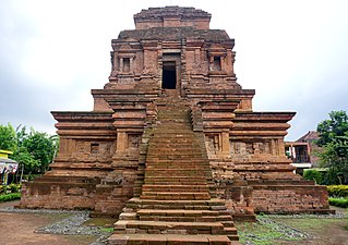
Gunung Gangsir is an 11th-century Hindu candi (temple) located approximately 5 kilometers west from the town of Bangil. This red brick structure is located in Gunung Gangsir village, Beji subdistrict, Pasuruan Regency, East Java Indonesia.
References
- ↑ "(AKQ) Gunung Batin Airport". Flightstats.com. Retrieved 2012-05-07.
- ↑ "Gunung Batin Airport (AKQ) Details - Indonesia". World-airport-codes.com. Retrieved 2012-05-07.