Cut Nyak Dhien Airport Bandar Udara Cut Nyak Dhien | |||||||||||
|---|---|---|---|---|---|---|---|---|---|---|---|
 Cut Nyak Dhien Airport | |||||||||||
| Summary | |||||||||||
| Airport type | Public | ||||||||||
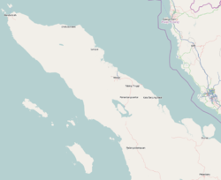
| Location | Nagan Raya Regency | ||||||||||
| Time zone | WIB (UTC+07:00) | ||||||||||
| Elevation AMSL | 6 ft / 2 m | ||||||||||
| Coordinates | 04°02′37.38″N96°15′03.01″E / 4.0437167°N 96.2508361°E | ||||||||||
| Website | meq | ||||||||||
| Map | |||||||||||
 | |||||||||||
| Runways | |||||||||||
| |||||||||||


Cut Nyak Dhien Airport( IATA : MEQ, ICAO : WITC) is an airport located in Nagan Raya Regency, Aceh, Indonesia.
Contents
The airport is located 26 km (16 mi) from Suka Makmue, 46 km (29 mi) from Meulaboh, West Aceh Regency, and 347 km (216 mi) from the city of Banda Aceh. [1]
The airport serves both Suka Makmue, the capital of the Nagan Raya Regency and Meulaboh, the capital of West Aceh Regency.