You can help expand this article with text translated from the corresponding article in Dutch. (June 2010)Click [show] for important translation instructions.
|
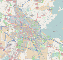
Prinses Irenebuurt | |
|---|---|
Neighborhood of Amsterdam | |
 Warnersblokken ('Warner's Blocks') (1957). | |
 | |
 Prinses Irenebuurt  Prinses Irenebuurt  Prinses Irenebuurt | |
| Country | Netherlands |
| Province | North Holland |
| COROP | Amsterdam |
| Borough | Zuid |
| Time zone | UTC+1 (CET) |
Prinses Irenebuurt is a neighborhood of Amsterdam, Netherlands.
| | This North Holland location article is a stub. You can help Wikipedia by adding missing information. |