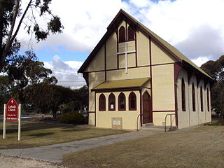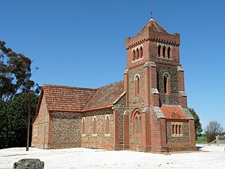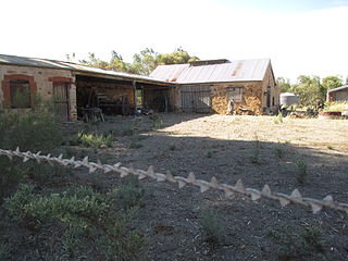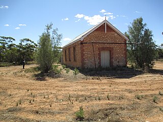
Lameroo is a town in the Murray Mallee region of South Australia. It is on the Mallee Highway and Pinnaroo railway line about 40 km west of the Victorian border, or 210 km east of Adelaide. It is primarily a service town for the surrounding rural areas, growing grain and sheep. Lameroo now includes the former settlements of Kulkami, Mulpata, Wirha and Gurrai, which were on the Peebinga railway line, and Wilkawatt, which was between Parrakie and Lameroo on the Pinnaroo railway.

Hamilton is a small township in the Mount Lofty Ranges in South Australia. It is about 120 km northeast of Adelaide, South Australia, about 23 km north of Kapunda. Once a stop for the mining carts going from Adelaide to Burra, but now just a small agricultural district.
Seaford is a metropolitan suburb of Adelaide, South Australia. It lies within the City of Onkaparinga. Seaford railway station is the southern terminus of the Seaford railway line from Adelaide railway station.

Callington is a small town on the eastern slopes of the Adelaide Hills, in South Australia. Callington is situated on the Bremer River, and is adjacent to the South Eastern Freeway and the Adelaide-Wolseley railway line, however no trains have stopped at the station for many years. Callington is located within the state electoral district of Kavel and the federal division of Mayo.

Dutton is a settlement in South Australia. The small township lies approximately six kilometres (3.7 mi) north of Truro on the Eudunda Road. It was first laid out in 1866 and lots were advertised for sale in the German-language newspaper Südaustralische Zeitung.

Hansborough is a locality along the former Morgan railway line adjacent to the Thiele Highway, in South Australia's Mid North region. It is situated 9 kilometres south-west of Eudunda and 18 kilometres north-east of Kapunda. The Light River runs through the locality.

Maggea is a town and locality in the Murray Mallee region of South Australia. It is on the Stott Highway between Swan Reach and Loxton and was on the former Waikerie railway line. The town is almost deserted now that the railway line has closed.
Bagot Well is a locality around 6 km north-east of Kapunda, South Australia on the road to Eudunda and was named for Captain C. H. Bagot, who owned a great deal of property in the area.

Mortana is a rural locality in South Australia, located on the Eyre Peninsula. It is traversed by the Flinders Highway. The boundaries for the locality were established in April 2001 in respect of the long established local name.

Mount Mary is a small town on the Thiele Highway between Eudunda and Morgan in South Australia. It was also served by the Morgan railway line from 1878 until 1969 and is named for the Mount Mary railway station on that line.
Beatty is a rural locality in the Australian state of South Australia located in the state's east within the Murray and Mallee region about 126 kilometres (78 mi) north-east of the state capital of Adelaide and about 99 kilometres (62 mi) north of the municipal seat of Mannum.
Brownlow is a locality in the Australian state of South Australia about 98 kilometres north-east of the Adelaide city centre
Julia is a locality in the Mid North of South Australia, 111 kilometres North of Adelaide, the state capital. The town is located 10 kilometres (6.2 mi) north of Eudunda, in the Regional Council of Goyder. It was created in August 2000, with boundaries formalised for the long established local name.
Ngapala is a rural locality in the Mid North region of South Australia, situated in the Regional Council of Goyder. It was established in August 2000, when boundaries were formalised for the "long established local name". It is divided between the cadastral Hundreds of English and Julia Creek.
Brady Creek is a rural locality in the Mid North region of South Australia, situated in the Regional Council of Goyder. It was established in August 2000, when boundaries were formalised for the "long established local name" for the creek which it is centred on and named after. It is divided between the cadastral Hundreds of Apoinga and English.

Canowie Belt is a rural locality in the Mid North region of South Australia, situated in the Regional Council of Goyder. It was established in August 2000, when boundaries were formalised for the "long established local name". The name is adapted from "Kanya-owie", an Aboriginal word for "rock waterhole", and was associated with the Canowie Station pastoral lease.
Peep Hill is a rural locality in the Mid North region of South Australia, situated in the Regional Council of Goyder. It was established in August 2000, when boundaries were formalised for the "long established local name". It is reported to be named for "a round hill in the last range towards the east".
Frankton is a rural locality in the Mid North region of South Australia, situated in the Regional Council of Goyder and Mid Murray Council. The section within the Goyder council was established in August 2000, when boundaries were formalised for the "long established local name"; the section within the Mid Murray council was added in March 2003. It is believed to be named after the son of two early residents, Mr. and Mrs. Rice.
Hampden is a rural locality in the Mid North region of South Australia, situated in the Regional Council of Goyder. It was established in August 2000, when boundaries were formalised for the "long established local name". It was named for William Hampden Dutton, brother of Frederick Dutton, who established Anlaby Station.
Kringin is a town and a locality in the Australian state of South Australia located in the state’s east about 199 kilometres (124 mi) east of the state capital of Adelaide and about 61 kilometres (38 mi) south of the municipal seat of Loxton.


