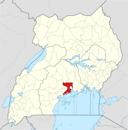
Buddo is located in Busiro County, Wakiso District, off of the Kampala-Masaka Highway, approximately 14 kilometres (8.7mi) by road southwest of Kampala, Uganda's capital and largest city.[3]
With a peak at 1,300 metres (4,300ft) above sea level, Buddo is an important hill in the environs of Kampala. It carries cultural and academic significance. The cultural coronation site, where the Kabaka of Buganda is enthroned in a traditional ceremony is located on Buddo Hill and is known as Naggalabi Buddo. in August 2023 was the reopening of the Kasubi Tombs, a UNESCO World Heritage site, following their restoration after a fire in 2010.[4][5] The hill is also the location of several elementary, middle and high schools, including Kings College Budo, a prestigious mixed boarding high school, attended by Buganda's Kings starting with Captain Sir Daudi Chwa II, the thirty-fourth (34th) Kabaka of the Kingdom of Buganda, who reigned between 1897 and 1939.
This page is based on this Wikipedia article Text is available under the CC BY-SA 4.0 license; additional terms may apply. Images, videos and audio are available under their respective licenses.