Sapphire Central is a rural locality in the Central Highlands Region, Queensland, Australia. The town of Sapphire is within the locality. Sapphires are mined extensively in the area. At the 2021 census, the locality had a population of 1214 people.
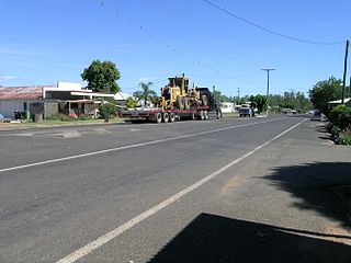
Rolleston is a rural town and locality in the Central Highlands Region, Queensland, Australia. In the 2016 census, the locality of Rolleston had a population of 309 people.

Dysart is a town and rural locality in the Isaac Region, Queensland, Australia. It is a service centre for mines and grazing properties in the district. In the 2021 census, the locality of Dysart had a population of 2,918 people. Most residents are employed by the coal mines.

Tieri is a small mining town and rural locality in the Central Highlands Region, Queensland, Australia. Established in 1983, the town is a service centre for local coal mines, similar to nearby Middlemount and Dysart,
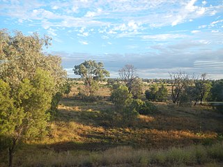
Comet is a historically-rich rural town and locality in the Central Highlands Region, Queensland, Australia. In the 2016 census, the locality of Comet had a population of 498 people.
Gindie is a rural locality in the Central Highlands Region, Queensland, Australia. In the 2021 census, Gindie had a population of 232 people.
Cairdbeign is a rural locality in the Central Highlands Region, Queensland, Australia. In the 2021 census, Cairdbeign had a population of 70 people.
Crinum is a rural locality in the Central Highlands Region, Queensland, Australia. In the 2021 census, Crinum had a population of 86 people.

Orion is a rural locality in the Central Highlands Region, Queensland, Australia. In the 2021 census, Orion had a population of 87 people.

Winchester is a rural locality in the Isaac Region, Queensland, Australia. In the 2021 census, Winchester had a population of 13 people.
Albinia is a rural locality in the Central Highlands Region, Queensland, Australia. In the 2021 census, Albinia had a population of 165 people.
Mackenzie is a rural locality in the Central Highlands Region, Queensland, Australia. In the 2021 census, Mackenzie had a population of 30 people.

Eungella Dam is a locality in the Mackay Region, Queensland, Australia. In the 2021 census, Eungella Dam had "no people or a very low population".
Minerva is a rural locality in the Central Highlands Region, Queensland, Australia. In the 2021 census, Minerva had a population of 55 people.
Cheeseborough is a rural locality in the Central Highlands Region, Queensland, Australia. In the 2021 census, Cheeseborough had a population of 16 people.
Fork Lagoons is a rural locality in the Central Highlands Region, Queensland, Australia.
Gordonstone is a rural locality in the Central Highlands Region, Queensland, Australia. In the 2021 census, Gordonstone had a population of 32 people.

Rewan is a rural locality in the Central Highlands Region, Queensland, Australia. In the 2021 census, Rewan had a population of 49 people.
Peak Vale is a rural locality split between the Isaac Region and the Central Highlands Region, Queensland, Australia. In the 2016 census, Peak Vale had a population of 39 people, but its boundaries were altered subsequently and its population was not separately reported in the 2021 census.
Kemmis is a rural locality in the Isaac Region, Queensland, Australia. In the 2021 census, Kemmis had "no people or a very low population".
