Balga is a suburb of Perth, the capital city of Western Australia, 13 kilometres (8 mi) north of Perth city's central business district (CBD). Its local government area is the City of Stirling. Mark Irwin is the current mayor.

Ferndale is a southeastern suburb of Perth, Western Australia. Its local government area is the City of Canning. It is approximately 15 kilometres (9 mi) from Perth's central business district.

Como is a suburb of Perth, Western Australia. Its local government area is the City of South Perth. The suburb has a population of 12,423. Canning Highway divides the suburb.

Applecross is an affluent riverside suburb of Perth, Western Australia, bounded by Canning Highway and the Swan River. It is located within the City of Melville.
Bateman is a suburb of Perth, Western Australia, located within the City of Melville.

Wellard is a suburb of Perth, Western Australia, located within the City of Kwinana.
Bouvard is the second southernmost suburb of Mandurah, Western Australia, and is 97 kilometres (60 mi) south of the state capital, Perth. Its local government area is the City of Mandurah.
Coodanup is a south-eastern suburb of Mandurah, Western Australia. Its local government area is the City of Mandurah.

Dawesville is a suburb of Mandurah, located adjacent to the Peel-Harvey Estuarine System south of Perth in Western Australia. The Dawesville Cut, a man-made canal built in 1994, is to the north of the suburb.

Dudley Park is a suburb of Mandurah, located immediately south of Mandurah's central area.

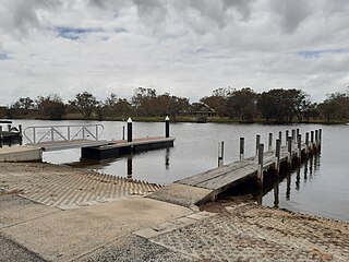
Erskine is a suburb of Mandurah. It is bound by the Old Coast Road to the west and the Peel Inlet to the east.
Greenfields is a suburb east of Mandurah, located east of Mandurah's central area. It includes several aged care residences and a large recreation oval and centre.

Halls Head is a coastal suburb (locality) of Mandurah, immediately west of Mandurah's central area. It is largely residential and contains several canal estates developed since the 1980s.

Lakelands is the northernmost suburb of the city of Mandurah, Western Australia.

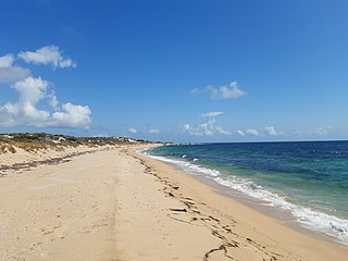
Wannanup is a residential suburb in Western Australia, located 12 kilometres (7 mi) southwest of Mandurah and 87 kilometres (54 mi) south-southwest of the state capital, Perth. It is surrounded on three sides by water – the Indian Ocean to the west, the Harvey Estuary to the east and the Dawesville Channel to the south – and is home to the Port Bouvard development. It is one of four suburbs which lie on an island created by the building of the Dawesville Channel.

Mandurah railway station is the terminus of the Mandurah railway line and a bus station on the Transperth network, serving the satellite city of Mandurah, Western Australia.

Madora Bay is a suburb of the City of Mandurah.

Ravenswood is a small town in the Peel region of Western Australia.

Furnissdale is a locality near Mandurah, Western Australia, to the south of Pinjarra Road and near the Serpentine River entrance into the Peel Inlet within the Shire of Murray. Its postcode is 6209. At the 2011 census, Furnissdale had a population of 1,027.
Mandurah is the central suburb of the city of Mandurah in Western Australia's Peel region. At the 2016 census, it had a population of 7,837.

