
The Arkansas River is a major tributary of the Mississippi River. It generally flows to the east and southeast as it traverses the U.S. states of Colorado, Kansas, Oklahoma, and Arkansas. The river's source basin lies in Colorado, specifically the Arkansas River Valley. The headwaters derive from the snowpack in the Sawatch and Mosquito mountain ranges. It flows east into Kansas and finally through Oklahoma and Arkansas, where it meets the Mississippi River.

The New Madrid Seismic Zone (NMSZ), sometimes called the New Madrid Fault Line, is a major seismic zone and a prolific source of intraplate earthquakes in the Southern and Midwestern United States, stretching to the southwest from New Madrid, Missouri.

Canehill, also known as Cane Hill and Boonsboro, is an unincorporated community and census-designated place (CDP) in Washington County, Arkansas, United States. It was first listed as a CDP in the 2020 census with a population of 74.
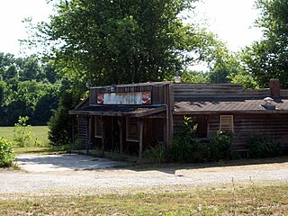
Savoy is an unincorporated community in Litteral Township, Washington County, Arkansas, United States. It is located on County Route 845 east of Lake Wedington. The Ozark National Forest is just west of the community. The Savoy area is marked with bluffs and streams. A distinctive feature is the dam on Clear Creek where a flour mill was once in operation. Savoy had a post office and businesses that no longer exist.
Cincinnati is an unincorporated community and census-designated place (CDP) in northwestern Washington County, Arkansas, United States. It was first listed as a CDP in the 2020 census with a population of 306.
Varner is an unincorporated community in Lincoln County, Arkansas, United States. Varner is located southeast of Little Rock.
Harris is an unincorporated community in Elkins Township, Washington County, Arkansas, United States. It is located east of Fayetteville and within the city limits of Elkins near Arkansas Highway 16.
Harmon is an unincorporated community in Harmon Township, Washington County, Arkansas, United States. It is located southwest of Tontitown on Harmon Road.
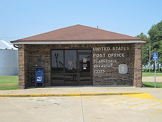
Clarkedale is a town in Crittenden County, Arkansas, United States. Per the 2020 census, the population was 336. Clarkedale incorporated on November 15, 2000.
Mayfield is an unincorporated community in Goshen Township, Washington County, Arkansas, United States. It is located at the intersection of Arkansas highways 45 and 303.
McNair is an unincorporated community in Fayetteville Township, Washington County, Arkansas, United States. It is located within Fayetteville in the southwest part of town near Baum Stadium. McNair was primarily the location of the switching board off the main Frisco line to the Ozark and Cherokee Central branch which went to Tahlequah.
Baldwin is a former unincorporated community in Fayetteville Township, Washington County, Arkansas, United States. It has since been annexed by Fayetteville. It is located in east Fayetteville along Huntsville Road near Lake Sequoyah toward Elkins.
Banyard is an unincorporated community in Winslow Township, Washington County, Arkansas, United States. It is located on Bunyard Road near the Crawford County line west of the Bobby Hopper Tunnel.
White Rock is an unincorporated community in Fayetteville Township, Washington County, Arkansas, United States. It is located about three miles west of Fayetteville on Arkansas Highway 16. Goose Creek is just south of the community.
Gulley is an unincorporated community in Johnson Township, Washington County, Arkansas, United States. It is located within Johnson, on Johnson Road along the railroad tracks.
Wedington Woods is an unincorporated community in Litteral Township, Washington County, Arkansas, United States. It is located west of Fayetteville, north of Wedington Drive. A small grass airport exists named Wedington Woods Airport.

Prairie Township is one of 37 townships in Washington County, Arkansas, USA. As of the 2000 census, its total population was 3,526.
Viney Grove is an unincorporated community in Marrs Hill Township, Washington County, Arkansas, United States. It is located north of Prairie Grove and Prairie Grove Battlefield State Park along County Road 37.
Wyman is an unincorporated community in Wyman Township, Washington County, Arkansas, United States. It is located east of the White River, north of Lake Sequoyah, southwest of Goshen, and east of Fayetteville.
Paleontology in Arkansas refers to paleontological research occurring within or conducted by people from the U.S. state of Arkansas. The fossil record of Arkansas spans from the Ordovician to the Eocene. Nearly all of the state's fossils have come from ancient invertebrate life. During the early Paleozoic, much of Arkansas was covered by seawater. This sea would come to be home to creatures including Archimedes, brachiopods, and conodonts. This sea would begin its withdrawal during the Carboniferous, and by the Permian the entire state was dry land. Terrestrial conditions continued into the Triassic, but during the Jurassic, another sea encroached into the state's southern half. During the Cretaceous the state was still covered by seawater and home to marine invertebrates such as Belemnitella. On land the state was home to long necked sauropod dinosaurs, who left behind footprints and ostrich dinosaurs such as Arkansaurus.


