Koolatong | |
---|---|
Location of the Koolatong River mouth in the Northern Territory | |
Location | |
Country | Australia |
Territory | Northern Territory |
Physical characteristics | |
Source | Mitchell Ranges |
• location | Arnhem Land, Australia |
Mouth | |
• location | Australia |
• coordinates | 13°12′37″S135°55′26″E / 13.21028°S 135.92389°E Coordinates: 13°12′37″S135°55′26″E / 13.21028°S 135.92389°E |
• elevation | 0 m (0 ft) |
Length | 92 km (57 mi) |
Basin size | 7,913 km2 (3,055 sq mi) |
Discharge | |
• average | 25.4 m3/s (900 cu ft/s) |
[1] |
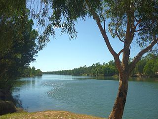
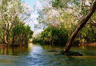
The Koolatong River is a river in the Northern Territory, Australia.
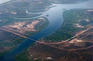
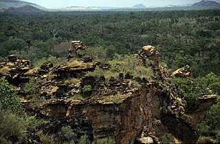
Rising in the Mitchell Ranges the river initially flows north then turns east across the uninhabited plains eventually discharging into the Saint Nicholas Inlet and the Blue Mud Bay then into the Gulf of Carpentaria.
The catchment occupies an area of 7,913 square kilometres (3,055 sq mi) and is situated between the Buckingham River catchment to the north, the Walker River catchment to the south and the Goyder River catchment to the west. [2] The river has a mean annual outflow of 800 gigalitres (1.046×10⁹ cu yd), [3]
The estuary formed at the river mouth is in near pristine condition. [4] The estuary occupies an area of 23.7 hectares (59 acres) of open water. It is river dominated in nature with a tide dominated delta having a single channel and is surrounded by an area of 51.3 hectares (127 acres) covered with mangroves. [5]
The traditional owners of the area are the Murngin also known as the Yolngu peoples. [6]
The McArthur River is a river in the Northern Territory of Australia which flows into the Gulf of Carpentaria at Port McArthur, opposite the Sir Edward Pellew Group of Islands. The river was named by Ludwig Leichhardt while he explored the area in 1845. He named the River after James MacArthur and the MacArthur family of Camden, who were enthusiastic supporters of his expedition. The McArthur River has significance for the local Aboriginal communities, who use it for fishing and other traditional activities.
The Mary River flows in the Northern Territory of Australia and is a site of the Mary River National Park.
The Fitzmaurice River is a river in the Northern Territory of Australia.
Blackmore River flows into Darwin Harbour close to Darwin in the Northern Territory of Australia.
Elizabeth River flows into Darwin Harbour close to Darwin in the Northern Territory of Australia.
The Wildman River is a river in the Darwin Coastal bioregion of the Northern Territory, Australia.
Buckingham River is a river in the Northern Territory of Australia.
Liverpool River is a river in the Northern Territory of Australia. It is the largest of the tidal river systems of northern Arnhem Land, which includes two major tributaries, the Tomkinson and Mann Rivers.
The Goromuru River is a river, located in the Northern Territory in Australia.
The Keep River is a river located in the Victoria Bonaparte bioregion of Western Australia and the Northern Territory in Australia.
The Blyth River is a river in the Northern Territory, Australia.
The Moyle River is a river in the Northern Territory, Australia.
The Goomadeer River is a river in the Northern Territory, Australia.
The Goyder River is a river in the Northern Territory of Australia.
The Walker River is a river in the Northern Territory, Australia.
The Towns River is a river in the Northern Territory, Australia.
The Limmen Bight River is a river in the Northern Territory, Australia.
The Rosie River also known as Rosie Creek is a river in the Northern Territory, Australia.
The Robinson River is a river in Australia's Northern Territory.
The Gregory River is a river located in the Northern Territory and the state of Queensland, Australia. The river is the largest perennial river in arid and semi-arid Queensland, one of the few permanently flowing rivers in the northwest of Queensland.