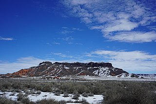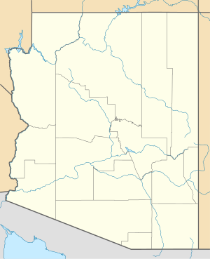
Bidahochi is a populated place situated in Navajo County, Arizona, United States. It has an estimated elevation of 5,758 feet (1,755 m) above sea level. The nearby Bidahochi Formation was named for Bidahochi.
Nahata Dziil, sometimes written Nahatadzill, is a Chapter situated in Apache County, Arizona, United States. It is one of the Chapters which make up the Fort Defiance Agency, one of five agencies which comprise the Navajo Nation. As of the 2010 census, the Chapter had a total population of 1,731, of whom 1,572 were Navajo. In 1991, it became the 110th and final Chapter of the Navajo Nation. It has an estimated elevation of 6,030 feet (1,840 m) above sea level.

Navajo Mountain is a chapter straddling the Utah/Arizona border. The bulk of the chapter lies in San Juan County, Utah, with portions in Coconino and Navajo counties in Arizona. It is one of the eighteen chapters which make up the Western Agency, one of five agencies which make up the Navajo Nation. As of the 2010 census, the chapter had a total population of 542, of whom 501 were Navajo. It has an estimated elevation of 5,886 feet (1,794 m) above sea level.
Nelson is a census-designated place (CDP) in Pima County, Arizona, United States. The population was 259 at the 2010 census.
Wheatfields is a populated place situated in Apache County, Arizona, United States, right along the border with New Mexico. It has an estimated elevation of 7,287 feet (2,221 m) above sea level. It is one of two places in Arizona with this name, the other being a CDP in Gila County. In 1909, the US Government set up an irrigation project to assist the Navajo residents. It is a chapter of the Navajo Nation.


