Magüí Payán

Last updated • a couple of secsFrom Wikipedia, The Free Encyclopedia
Magüí Payán
Municipality and town
Flag of Magui-Payan (Narino).svg
Colombia - Narino - Magui Payan.svg
Location of the municipality and town of Magüí Payán in the Nariño Department of Colombia.
CountryFlag of Colombia.svg  Colombia
Department Nariño Department
Population
 (Census 2018 [1] )
  Total18,262
Time zone UTC-5 (Colombia Standard Time)

Magüí Payán (Spanish pronunciation: [maˈɣwi] ) is a town and municipality in the Nariño Department, Colombia.

Contents

Climate

Magüí Payán has a tropical rainforest climate (Köppen Af) with very heavy rainfall year round.

Climate data for Magüí Payán
MonthJanFebMarAprMayJunJulAugSepOctNovDecYear
Mean daily maximum °C (°F)29.5
(85.1)
30.0
(86.0)
30.3
(86.5)
30.2
(86.4)
29.8
(85.6)
29.7
(85.5)
29.7
(85.5)
29.4
(84.9)
29.4
(84.9)
29.2
(84.6)
29.2
(84.6)
29.4
(84.9)
29.6
(85.4)
Daily mean °C (°F)25.8
(78.4)
26.0
(78.8)
26.3
(79.3)
26.2
(79.2)
26.0
(78.8)
25.8
(78.4)
25.8
(78.4)
25.7
(78.3)
25.7
(78.3)
25.7
(78.3)
25.6
(78.1)
25.7
(78.3)
25.9
(78.5)
Mean daily minimum °C (°F)22.1
(71.8)
22.1
(71.8)
22.4
(72.3)
22.3
(72.1)
22.3
(72.1)
22.0
(71.6)
22.0
(71.6)
22.1
(71.8)
22.1
(71.8)
22.2
(72.0)
22.1
(71.8)
22.1
(71.8)
22.1
(71.9)
Average rainfall mm (inches)365.1
(14.37)
349.7
(13.77)
454.6
(17.90)
537.0
(21.14)
537.1
(21.15)
433.2
(17.06)
332.5
(13.09)
334.5
(13.17)
372.2
(14.65)
315.6
(12.43)
294.7
(11.60)
340.7
(13.41)
4,666.9
(183.74)
Average rainy days262223272826232224242224291
Source 1: Instituto de Hidrología, Meteorología y Estudios Ambientales [2]
Source 2: [3]

Notable people

Related Research Articles

<span class="mw-page-title-main">Nariño Department</span> Department of Colombia

Nariño is a department of Colombia named after independence leader Antonio Nariño. Its capital is Pasto. It is in the west of the country, bordering Ecuador and the Pacific Ocean.
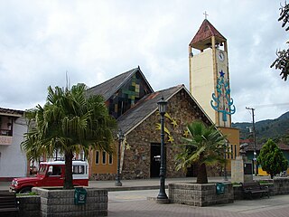
<span class="mw-page-title-main">Gómez Plata</span> Municipality and town in Antioquia Department, Colombia

Gómez Plata is a town and municipality in the Colombian department of Antioquia. Part of the subregion of Northern Antioquia.

<span class="mw-page-title-main">Heliconia, Antioquia</span> Municipality and town in Antioquia Department, Colombia

Heliconia is a town and municipality in Antioquia Department, Colombia.
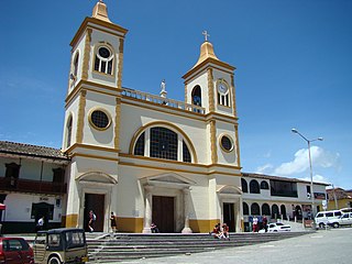
<span class="mw-page-title-main">La Unión, Antioquia</span> Municipality and town in Antioquia Department, Colombia

La Unión is a town and municipality in the Colombian department of Antioquia. It is part of the subregion of Eastern Antioquia.

<span class="mw-page-title-main">Sopetrán</span> Municipality and town in Antioquia Department, Colombia

Sopetrán is a municipality of Colombia, located in the subregion west of the state of Antioquia. It is bounded to the north by the municipality of Olaya, to the east by the municipality of Belmira, to the south by the municipalities of San Jerónimo and Ebéjico, and to the west by the municipality of Santa Fe de Antioquia. It is 59 kilometers from the city of Medellin, the state capital of Antioquia. The municipality of Sopetrán has an area of 223 square kilometers.
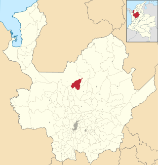
<span class="mw-page-title-main">Briceño, Antioquia</span> Municipality and town in Antioquia Department, Colombia

Briceño is a town and municipality in Antioquia Department, Colombia. Part of the subregion of Northern Antioquia.

<span class="mw-page-title-main">Toledo, Norte de Santander</span> Municipality and town in Norte de Santander Department, Colombia

Toledo is a Colombian municipality and town located in the department of North Santander. It is on the border with Boyacá Department and has natural gas development in the township of Gibraltar. In August 2011 the Gibraltar to Bucaramanga gas pipeline was completed.

<span class="mw-page-title-main">Vetas</span> Municipality and town in Santander Department, Colombia

Vetas is a town and municipality in the Santander Department in northeastern Colombia.

<span class="mw-page-title-main">Istmina</span> Municipality and town in Chocó Department, Colombia

Istmina is a municipality and town in the Chocó Department, Colombia. The town of Istmina was founded in 1834 by Juan Nepomuceno Mosquera, initially with the name of San Pablo. The name was changed in 1903 to Istmina, a contraction of isthmus and minas (mines), two characteristics of the area. The municipality covers 1,880 square kilometres (726 sq mi), with an average elevation of 79 metres (259 ft), and an average temperature of 26.7 °C (80 °F). Istmina is located 75 km (47 mi) from the departmental capital, Quibdó.

<span class="mw-page-title-main">Puerto Guzmán</span> Municipality and town in Putumayo Department, Colombia

Puerto Guzmán is a town and municipality located in the Putumayo Department, Republic of Colombia.

<span class="mw-page-title-main">Guamal, Meta</span> Municipality and town in Meta Department, Colombia

Guamal is a town and municipality in the Meta Department, Colombia.

<span class="mw-page-title-main">Lejanías</span> Municipality and town in Meta Department, Colombia

Lejanías is a town and municipality in the Meta Department, Colombia.

<span class="mw-page-title-main">Restrepo, Meta</span> Municipality and town in Meta Department, Colombia

Restrepo is a town and municipality in the Meta Department, Colombia.
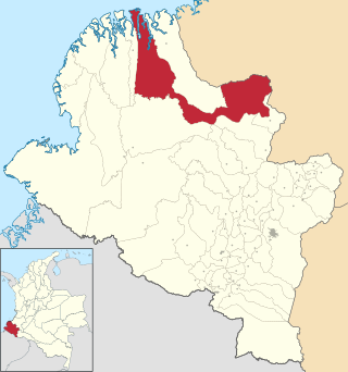
<span class="mw-page-title-main">El Charco</span> Municipality and town in Nariño Department, Colombia

El Charco is a town and municipality in the Nariño Department, Colombia.
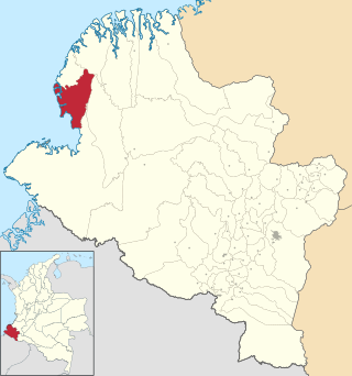
<span class="mw-page-title-main">Francisco Pizarro, Nariño</span> Municipality and town in Nariño Department, Colombia

Francisco Pizarro is a town and municipality in the Nariño Department, Colombia named after the Spanish explorer Francisco Pizarro.

<span class="mw-page-title-main">Gualmatán</span> Municipality and town in Nariño Department, Colombia

Gualmatán, is a town and municipality in the Nariño Department, Colombia.
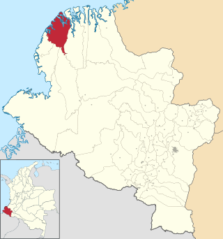
<span class="mw-page-title-main">Mosquera, Nariño</span> Municipality and town in Nariño Department, Colombia

Mosquera is a town and municipality in the Nariño Department, Colombia.

<span class="mw-page-title-main">Nariño, Nariño</span> Municipality and town in Nariño Department, Colombia

Nariño is a town and municipality in the Nariño Department, Colombia.
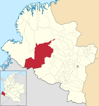
<span class="mw-page-title-main">Barbacoas, Nariño</span> Municipality and town in Nariño Department, Colombia

Barbacoas is a town and municipality in Nariño Department, Colombia. The urban centre of Barbacoas is located at an altitude of 36 metres (118 ft) and the municipality borders Magüí Payán in the north, Magüí Payán, Cumbitara, Los Andes, La Llanada, Samaniego and Ricaurte in the east, Ricaurte and Ecuador in the south and Tumaco and Roberto Payán in the west.

Ricaurte is a settlement in Magüí Payán Municipality, Nariño Department in Colombia.

References

  1. "Censo Nacional de Población y Vivienda 2018" (in Spanish). Retrieved 20 April 2020.
  2. "Data". www.ideam.gov.co. Retrieved 2020-06-23.
  3. "Magüí (Payán) climate: Average Temperature, weather by month, Magüí (Payán) weather averages - Climate-Data.org". en.climate-data.org. Retrieved 2021-12-25.

1°56′N78°12′W / 1.933°N 78.200°W / 1.933; -78.200