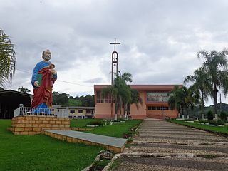
Biguaçu is a municipality in the state of Santa Catarina in the South region of Brazil.
São João Batista, Santa Catarina is a municipality in the state of Santa Catarina in the South region of Brazil.
Monte Castelo is a municipality in Santa Catarina in the South region of Brazil.
Papanduva is a municipality in the state of Santa Catarina in the South region of Brazil.
Três Barras is a municipality in the state of Santa Catarina in the South region of Brazil.
Schroeder (Schröder) is a municipality in the state of Santa Catarina in the South region of Brazil.

São Domingos is a municipality in the state of Santa Catarina in the South region of Brazil.
Romelândia is a municipality in the state of Santa Catarina in the South Region of Brazil.

Itá, Santa Catarina is a municipality in the state of Santa Catarina in the South region of Brazil.
Calmon is a municipality in the state of Santa Catarina in the South region of Brazil.

São José do Cerrito is a municipality in the state of Santa Catarina in the South region of Brazil. It was created in 1961 out of the existing municipality of Lages.
Otacílio Costa is a municipality in the state of Santa Catarina in the South region of Brazil.
Cerro Negro, Santa Catarina is a municipality in the state of Santa Catarina in the South region of Brazil.
Painel is a municipality in the state of Santa Catarina in the South region of Brazil.
Palmeira, Santa Catarina is a municipality in the state of Santa Catarina in the South region of Brazil.
Timbé do Sul is a municipality in the state of Santa Catarina in the South region of Brazil.

Taió is a municipality in the state of Santa Catarina in the South region of Brazil.

Lontras is a municipality in the state of Santa Catarina in the South region of Brazil.

Trombudo Central is a municipality in the state of Santa Catarina in the South region of Brazil.

Vitor Meireles is a municipality in the state of Santa Catarina in the South region of Brazil.


