
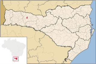
Marema is a Brazilian municipality in the state of Santa Catarina.
Biguaçu is a municipality in the state of Santa Catarina in the South region of Brazil.
Águas Frias is a municipality in the state of Santa Catarina in the South region of Brazil.
Nova Itaberaba is a municipality in the state of Santa Catarina in the South region of Brazil.
Santiago do Sul is a municipality in the state of Santa Catarina in the South region of Brazil. It was created in 1994 out of the existing municipality of Quilombo.
São Bernardino is a municipality in the state of Santa Catarina in the South region of Brazil. It was created in 1995 out of the municipality of Campo Erê.

Ponte Serrada is a municipality in the state of Santa Catarina in the South region of Brazil.

Vargeão is a municipality in the state of Santa Catarina in the South region of Brazil. The town is located on the southern rim of an impact crater, the Vargeão Dome. Vargeão's city hall is located inside the crater. The local population is well aware of the impact origin of the structure, to the point that the town's official nickname is Meteor City.

Lajeado Grande is a municipality in the state of Santa Catarina in the South region of Brazil.
Bom Jesus, Santa Catarina is a municipality in the state of Santa Catarina in the South region of Brazil.

Jupiá is a municipality in the state of Santa Catarina in the South region of Brazil.
Tigrinhos is a municipality in the state of Santa Catarina in the South region of Brazil.
Paial is a municipality in the state of Santa Catarina in the South region of Brazil.
Xavantina is a municipality in the state of Santa Catarina in the South region of Brazil.
Campo Belo do Sul is a municipality in the state of Santa Catarina in the South region of Brazil.
Rio Rufino is a municipality in the state of Santa Catarina in the South region of Brazil.

Garopaba is a municipality in the state of Santa Catarina in the South region of Brazil.
Imbuia, Santa Catarina is a municipality in the state of Santa Catarina in the South region of Brazil.

Lontras is a municipality in the state of Santa Catarina in the South region of Brazil.

Rio do Campo is a municipality in the state of Santa Catarina in the South region of Brazil.


