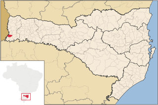
Iraceminha is a municipality in the state of Santa Catarina in the South region of Brazil.
Saltinho, Santa Catarina is a municipality in the state of Santa Catarina in the South region of Brazil.
Santa Terezinha do Progresso is a municipality in the state of Santa Catarina in the South region of Brazil.
São Carlos is a municipality in the state of Santa Catarina in the South region of Brazil.

Tunápolis is a municipality in the state of Santa Catarina in the South region of Brazil.

São José do Cedro is a municipality in the state of Santa Catarina in the South region of Brazil.
Romelândia is a municipality in the state of Santa Catarina in the South Region of Brazil.
Anchieta, Santa Catarina is a municipality in the state of Santa Catarina in the South region of Brazil.
Descanso, Santa Catarina is a municipality in the state of Santa Catarina in the South region of Brazil.

São Miguel da Boa Vista is a municipality in the state of Santa Catarina in the South region of Brazil.
Saudades, Santa Catarina is a municipality in the state of Santa Catarina in the South region of Brazil. It was created in 1961, its area being taken from the existing municipality of São Carlos; in 1964 its eastern district was removed to form the new municipality of Nova Erechim.
Serra Alta is a municipality in the state of Santa Catarina in the South region of Brazil.

Sul Brasil is a municipality in the state of Santa Catarina in the South region of Brazil. It was created in 1961 by division of the municipality of Modelo.
Palma Sola, Santa Catarina is a municipality in the state of Santa Catarina in the South region of Brazil.
Princesa, Santa Catarina is a municipality in the state of Santa Catarina in the South region of Brazil.
Riqueza is a municipality in the state of Santa Catarina in the South region of Brazil.
Mondaí is a municipality in the state of Santa Catarina in the South region of Brazil.
Iporã do Oeste is a municipality in the state of Santa Catarina in the South region of Brazil.
Guarujá do Sul is a municipality in the state of Santa Catarina in the South region of Brazil.
Tigrinhos is a municipality in the state of Santa Catarina in the South region of Brazil.


