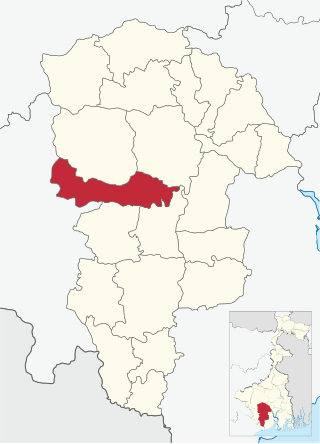
Durllabhganj is a census town in the Garhbeta III CD block in the Medinipur Sadar subdivision of the Paschim Medinipur district in the state of West Bengal, India.

Paschim Medinipur district is one of the districts of the state of West Bengal, India. It was formed on 1 January 2002 after the Partition of Midnapore into Paschim Medinipur and Purba Medinipur. On 4 April 2017, the Jhargram subdivision was converted into a district. GDP of West Midnapore district is 12 billion USD.

Salboni is a village in the Salboni CD block, in the Medinipur Sadar subdivision of the Paschim Medinipur district in the Indian state of West Bengal.

Nayagram is a community development block that forms an administrative division in Jhargram subdivision of Jhargram district in the Indian state of West Bengal.

Binpur I is a community development block that forms an administrative division in Jhargram subdivision of Jhargram district in the Indian state of West Bengal.

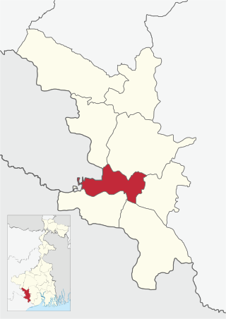
Midnapore Sadar is a community development block that forms an administrative division in Medinipur Sadar subdivision of Paschim Medinipur district in the Indian state of West Bengal.
Keshpur is a village in the Keshpur CD block of Ghatal in the Medinipur Sadar subdivision of the Paschim Medinipur district in the state of West Bengal, India.

Jhargram is a community development block that forms an administrative division in Jhargram subdivision of Jhargram district in the Indian state of West Bengal.

Gopiballavpur I is a community development block that forms an administrative division in Jhargram subdivision of Jhargram district in the Indian state of West Bengal.

Gopiballavpur II is a community development block that forms an administrative division in Jhargram subdivision of Jhargram district in the Indian state of West Bengal.

Sankrail is a community development block that forms an administrative division in Jhargram subdivision of Jhargram district in the Indian state of West Bengal.
Anandapur is a village in the Keshpur CD block in the Medinipur Sadar subdivision of the Paschim Medinipur district in the state of West Bengal, India.
Amlagora is a census town in the Garhbeta I CD block in the Medinipur Sadar subdivision of the Paschim Medinipur district in the state of West Bengal, India.
Pingboni is a village and gram panchayat in the Garhbeta II CD block in the Medinipur Sadar subdivision of the Paschim Medinipur district in the state of West Bengal, India.
Satbankura is a village and a gram panchayat in the Garhbeta III CD block in the Medinipur Sadar subdivision of the Paschim Medinipur district in the state of West Bengal, India. The headquarters of this block are located here.

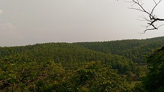
Jhargram is a district in the state of West Bengal, India.The district lies between the Kangsabati River in the north and the Subarnarekha in the south. Jhargram has one of the lowest population densities among the districts of West Bengal, with almost all its population living in rural areas. It is a popular tourist destination known for its sal forests, elephants, ancient temples and royal palaces. The district was formed on 4 April 2017, after bifurcation from the Paschim Medinipur district as the 22nd district of West Bengal. The district has its headquarters at Jhargram.
Pathra is a village and a gram panchayat in the Midnapore Sadar CD block in the Medinipur Sadar subdivision of the Paschim Medinipur district in the state of West Bengal, India.
Chandra is a village and a gram panchayat in the Midnapore Sadar CD block in the Medinipur Sadar subdivision of the Paschim Medinipur district in the state of West Bengal, India.
Dwarigeria is a census town in the Garhbeta III CD block in the Medinipur Sadar subdivision of the Paschim Medinipur district in the state of West Bengal, India.
Naba Kola is a census town in the Garhbeta III CD block in the Medinipur Sadar subdivision of the Paschim Medinipur district in the state of West Bengal, India.


