
Kolar district is a district in the state of Karnataka, India.
Bagalkote, is a city in the state of Karnataka, India, which is also the headquarters of Bagalkot district. It is situated on branch of River Ghataprabha, The population of the urban agglomeration was 111,933 according to the provisional results of 2011 national census of India, the city is spread over an area of 49.06 square kilometres (18.94 sq mi) with an average elevation of 532 m (1,745 ft) above MSL.
Hulkuru or Guttahalli is a small village in the Kolar Gold Fields Taluk of Kolar district in Karnataka, India. It is situated about 15 kilometers from Kolar Gold Fields.

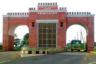
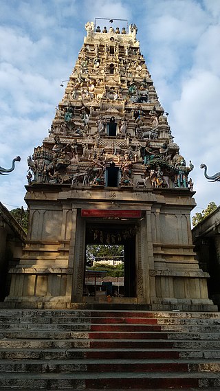
Kolar or Kolara is a city in the Indian state of Karnataka. It is the headquarters of Kolar district. The city is known for its milk production and gold mines. It is also known for the Someshwara and Kolaramma temples.

Chikkaballapura district is a district in the state of Karnataka, India. On 23 August 2007, it was carved out of the pre-existing Kolar district which was the fourth largest district of Karnataka by moving the talukas of Gauribidanur, Gudibanda, Bagepalli, Chikballapur, Manchenahalli, Chelur, Sidlaghatta and Chintamani into the new district. Kannada is the official language.

Vijayanagara district is a district in the southern Indian state of Karnataka, located in the Kalyana-Karnataka region.
Ramanagar is a village in the southern state of Karnataka, India. It is located in the outskirts of Indi situated in Indi Taluk of Bijapur.
Ramnagar is a village in the southern state of Karnataka, India. It is situated in Bijapur Taluk of Bijapur.
Ramnagar is a village in the southern state of Karnataka, India. It is situated in Basavana Bagevadi Taluk of Bijapur.
Ramnagar is a village in the southern state of Karnataka, India. It is situated in Joida Taluk of Uttara Kannada. Ramnagar is the junction where roads coming from Dharwad, Belagavi and Anmod (Goa) meet. Ramnagar is at the distance of four Kilometre from Londa. Ramnagar is basically rehabilitation area for the people displaced by Hydro electric projects (Dams) built across river Kali in the state of Karnataka.Few shops and road side eateries are there in Ramnagar. It has a Post office, branch of nationalised bank, Police station and Industrial training Institute(I.T.I). There is also NWKRTC bus stand at Ramnagar. Most of the NWKRTC,KSRTC,KKRTC(formerly NEKRTC) buses coming from different places of Karnataka state going towards Goa state have a stop here.
Ramnagar is a village in the southern state of Karnataka, India. It is situated in Afzalpur Taluk of Kalaburagi.
Ramnagar is a village in the southern state of Karnataka, India. It is situated in Shorapur Taluk of Yadgir.
Guttahalli is a small village in the Kolar Gold Fields Taluk of Kolar district in Karnataka, India. It is situated about 4 kilometers from Kolar Gold Fields, forming the outskirts of the city.
Guttahalli is a small village in the Bangarapet Taluk of Kolar district in Karnataka, India. It is situated about 7 kilometers from Bangarapet.
Guttahalli is a small village in the Bangarapet Taluk of Kolar district in Karnataka, India. It is situated about 7 kilometers from Bangarapet.
Guttahalli is a small village in the Kolar Taluk of Kolar district in Karnataka, India. It is situated about 25 kilometers from Kolar.
Guttahalli is a small village in the Kolar Taluk of Kolar district in Karnataka, India. It is situated about 15 kilometers from Kolar.
Guttahalli is a small village in the Chintamani Taluk of Chikkaballapura district in Karnataka, India. It is situated about 9 kilometers from Chintamani.
Guttahalli is a small village in the Chintamani Taluk of Chikkaballapura district in Karnataka, India. It is situated about 12 kilometers from Chintamani.
Hulkur is a small village in the Malur Taluk of Kolar district in Karnataka, India. It is situated about 13 kilometers from Malur.

