
Hernando de Soto was a Spanish explorer and conquistador who was involved in expeditions in Nicaragua and the Yucatan Peninsula. He played an important role in Francisco Pizarro's conquest of the Inca Empire in Peru, but is best known for leading the first European expedition deep into the territory of the modern-day United States. He is the first European documented as having crossed the Mississippi River.

Hernando County is a county located on the west central coast of the U.S. state of Florida. As of the 2020 census, the population was 194,515. Its county seat is Brooksville, and its largest community is Spring Hill.

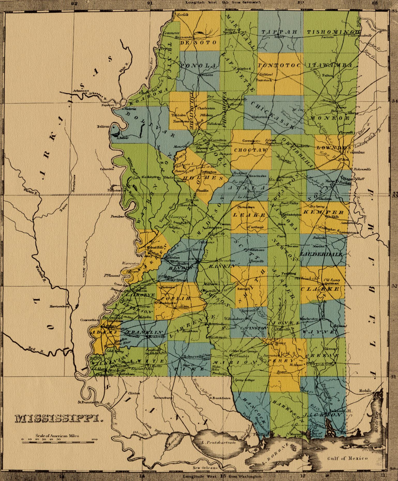
DeSoto County is a county located on the northwestern border of the U.S. state of Mississippi. As of the 2020 census, the population was 185,314, making it the third-most populous county in Mississippi. Its county seat is Hernando.

West Memphis is the largest city in Crittenden County, Arkansas, United States. The population was 26,245 at the 2010 census, ranking it as the state's 18th largest city, behind Bella Vista. It is part of the Memphis metropolitan area, and is located directly across the Mississippi River from Memphis, Tennessee.

De Soto is a village in Jackson County, Illinois, United States. The population was 1,590 at the 2010 census, down from 1,653 at the 2000 census. It is named for Hernando de Soto, the discoverer of the Mississippi River.
Hernando is a city in, and the county seat of, DeSoto County, which is on the northwestern border of Mississippi, United States. The population was 17,138 according to the 2020 census records. DeSoto County is the second-most-populous county in the Memphis metropolitan area, which includes counties in Tennessee, Arkansas and Mississippi.

De Soto National Memorial is a national memorial located in Manatee County, approximately five miles west of Bradenton, Florida. The national memorial commemorates the 1539 landing of Hernando de Soto and the first extensive organized exploration by Europeans of what is now the southern United States. The memorial site comprises 26.84 acres (10.86 ha), where the Manatee River joins Tampa Bay. It has 3,000 feet (910 m) of coastline; eighty percent of the area is mangrove swamp.
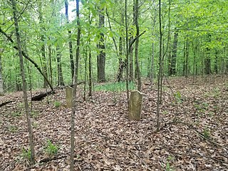
Plymouth was an early settlement in Mississippi in present-day Lowndes County. Plymouth was located on the west bank of the Tombigbee River at the mouth of Tibbee Creek.

Walls is a town located in northern DeSoto County, Mississippi, United States, near the Mississippi River, part of the larger region known as "The Delta", and known for its rich, dark soil. As it is in the upper northwest corner of Mississippi, it is in the Memphis, Tennessee metropolitan area. Its ZIP code is 38680. As of the 2010 census it had a population of 1,162, with an estimated population of 1,463 in 2018.

Warrenton is an unincorporated community in Warren County, Mississippi. It is located approximately 5 miles south of Vicksburg on U.S. Route 61.

Grand Gulf is a ghost town in Claiborne County, Mississippi, United States.

Lake Cormorant is an unincorporated community located in DeSoto County, Mississippi, United States. Lake Cormorant is adjacent to the town of Walls and 19 miles (31 km) north of North Tunica near U.S. Route 61.
Commerce is a ghost town in Tunica County, Mississippi, United States. Commerce Landing was the town's port.
Brunswick is a ghost town in Warren County, Mississippi. Brunswick Landing, north of the community, was located directly on the Mississippi River.
Briers is a ghost town located in Adams County, Mississippi, United States. Briar Landing was its port, located directly on the Mississippi River.
Kienstra is a ghost town located in Adams County, Mississippi, United States. South of the town was Kienstra Landing, located on the Mississippi River.
Artonish is a ghost town located in Wilkinson County, Mississippi, United States. South of the town was Artonish Landing, located on a stretch of the Mississippi River known as the "Homochitto Cutoff".
Sunflower Landing is an unincorporated community in Coahoma County, Mississippi, United States.
Mound Landing is a ghost town in Bolivar County, Mississippi, United States.
Riverton is a ghost town in Bolivar County, Mississippi, United States.


