
Clymer is a town in Chautauqua County, New York, United States. The population was 1,748 at the 2020 census. The town is named for George Clymer, a signer of the Declaration of Independence. Clymer is located in the southwest part of the county.

Union Vale is a town in Dutchess County, New York, United States. The population was 4,558 at the 2020 census.
Lincoln is a town in Madison County, New York, United States. The population was 2,012 at the 2010 census.

Annsville is a town in Oneida County, New York, United States. At the 2010 census the town population was 3,012. The town is named after Ann Bloomfield, wife of a founder.

Vienna is a town in Oneida County, New York, United States. The population was 5,440 at the 2010 census. The town is named after the capital of Austria.

Lysander is a town in Onondaga County, New York, United States. As of the 2020 Census, the population was 23,074. The town was named after Lysander, a Spartan military leader, by a clerk interested in the classics. Lying to the northwest of Syracuse, much of the town is suburban in character.

Albion is a town in the northeastern part of Oswego County, New York, United States. The population was 2,009 at the 2020 census.

Boylston is a town in Oswego County, New York, United States. The population was 549 at the 2010 census. The name is that of the first landowner of the tract that became the town.

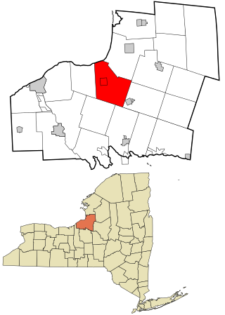
Granby is a town in Oswego County, New York, United States. The population was 6,821 at the 2010 census.

Hastings is a town in Oswego County, New York, United States. Its population was 9,450 at the 2010 census. It is named after Hastings Curtiss, a prominent citizen and member of the State Assembly in 1824.

Orwell is a town in Oswego County, New York, United States. The population was 1,167 at the 2010 census. The town was named after Orwell, Vermont.

Volney is a town in Oswego County, New York, United States. The population was 5,926 at the 2010 census. The town was named after a French author, Constantin François de Chassebœuf, comte de Volney, who toured the area in 1808.

West Monroe is a town in Oswego County, New York, United States. The population was 4,252 at the 2010 census.

Williamstown is a town in Oswego County, New York, United States. The population was 1,277 at the 2010 census.
Java is an incorporated town in Wyoming County, New York. The population was 2,057 at the 2010 census. The Town of Java is on the western border of Wyoming County.

Hunter is a town located in Greene County, New York, United States. The population was 3,035 at the time of the 2020 census. The town contains two villages, one named Hunter on the west, and the second called Tannersville, as well as a number of hamlets such as Haines Falls, Platte Clove, Lanesville and Edgewood. Additionally, there are three residential parks location within town limits: Onteora Park, Twilight Park and Elka Park. The town is on the southern border of Greene County and abuts the towns of Woodstock and Saugerties, located in Ulster County.

St. Johnsville is a town in Montgomery County, New York, United States. The population was 2,631 at the 2010 census. Accounts vary as to the etymology of St. Johnsville, but most of them state that the town and its village are named after an early surveyor and commissioner, Alexander St. John. Still others credit the naming of St. Johnsville to a former name for the area, St. John's Church.
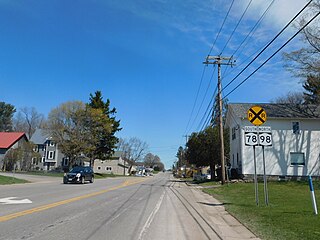
Hannibal is a town in Oswego County, New York, United States. The population was 4,854 at the 2010 census. The name is derived from the hero of ancient Carthage, Hannibal.
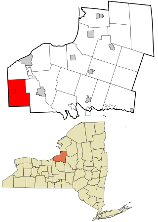
Mexico is a town in the northeastern section of Oswego County, New York, United States. The population was 5,197 at the 2010 census. The town contains a village also named Mexico.

Oswego is a town in Oswego County, in the U.S. state of New York. The population was 7,984 at the 2010 census.

