Hardtner is a city in Barber County, Kansas, United States. As of the 2020 census, the population of the city was 167. It is located 1 mile north of the Kansas / Oklahoma state border.

Wilmore is a city in Comanche County, Kansas, United States. As of the 2020 census, the population of the city was 37.
Offerle is a city in Edwards County, Kansas, United States. As of the 2020 census, the population of the city was 179. It is located along Highway 50.

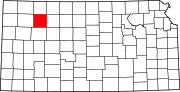
Gove City, more commonly known as Gove, is a city in and the county seat of Gove County, Kansas, United States. As of the 2020 census, the population of the city was 80.
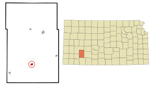
Montezuma is a city in Gray County, Kansas, United States. As of the 2020 census, the population of the city was 975.

Attica is a city in Harper County, Kansas, United States. As of the 2020 census, the population of the city was 516. The town was named after the historical region of Attica, in Greece.

Zenda is a city in Kingman County, Kansas, United States. As of the 2020 census, the population of the city was 72.

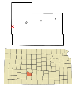
Meade is a city in and the county seat of Meade County, Kansas, United States. As of the 2020 census, the population of the city was 1,505.

Thayer is a city in Neosho County, Kansas, United States. As of the 2020 census, the population of the city was 432.

Brownell is a city in Ness County, Kansas, United States. As of the 2020 census, the population of the city was 23.

Utica is a city in Ness County, Kansas, United States. As of the 2020 census, the population of the city was 99.
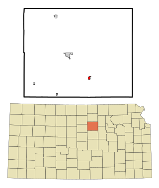
Bennington is a city in Ottawa County, Kansas, United States. As of the 2020 census, the population of the city was 622.

Tescott is a city in Ottawa County, Kansas, United States. As of the 2020 census, the population of the city was 265. It is located northwest of Salina at the intersection of 30th Road and K-18 highway, next to an abandoned railroad.

McDonald is a city in Rawlins County, Kansas, United States. As of the 2020 census, the population of the city was 113.

McCracken is a city in Rush County, Kansas, United States. As of the 2020 census, the population of the city was 152.
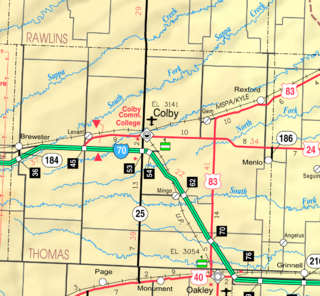
Menlo is a city in Thomas County, Kansas, United States. As of the 2020 census, the population of the city was 33.
Rexford is a city in Thomas County, Kansas, United States. As of the 2020 census, the population of the city was 197.

Harveyville is a city in Wabaunsee County, Kansas, United States. As of the 2020 census, the population of the city was 178. It is located 8.5 miles (13.7 km) northwest of the city of Burlingame.

Toronto is a city in Woodson County, Kansas, United States, along the Verdigris River. As of the 2020 census, the population of the city was 206.

Yates Center is a city in and the county seat of Woodson County, Kansas, United States. As of the 2020 census, the population of the city was 1,352.