
The Rural Municipality of Sarnia No. 221 is a rural municipality (RM) in the Canadian province of Saskatchewan within Census Division No. 6 and SARM Division No. 2. It is located in the south-central portion of the province.
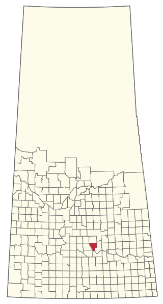
The Rural Municipality of McKillop No. 220 is a rural municipality (RM) in the Canadian province of Saskatchewan within Census Division No. 6 and SARM Division No. 2.
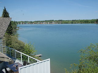
Crystal Lake is an organized hamlet within the Rural Municipality (RM) of Keys No. 303 in the Canadian province of Saskatchewan. It is also recognized as part of a designated place by Statistics Canada. The organized hamlet is on the majority of the shores of Crystal Lake, 1.0 km (0.62 mi) west of Highway 9 and approximately 70 km (43 mi) north of the City of Yorkton. The second part of the designated place is on the balance of the shores of Crystal Lake within the adjacent RM of Buchanan No. 304.
Kylemore is an unincorporated community in the Rural Municipality of Sasman No. 336, Saskatchewan, Canada. Listed as a designated place by Statistics Canada, the community had a population of 0 in the Canada 2016 Census. It was designated as an organized hamlet prior to 2018. The community is located 12 km east of Wadena, and approximately 250 km east of Saskatoon.
Frenchman Butte is an organized hamlet within the Rural Municipality of Frenchman Butte No. 501 in the Canadian province of Saskatchewan. It is also recognized as a designated place by Statistics Canada. Frenchman Butte is along Highway 797 on the north shore of the North Saskatchewan River approximately 43 km (27 mi) northeast of the City of Lloydminster.
Evergreen Beach, also known as Evergreen Brightsand, is an organized hamlet in the Canadian province of Saskatchewan under the jurisdiction of the Rural Municipality of Mervin No. 499.
Indian Point – Golden Sands is a former organized hamlet of the Rural Municipality of Parkdale No. 498 that is now part of the Resort Village of Turtle View in Saskatchewan, Canada. It is also recognized as a designated place by Statistics Canada. It is located on the east shore of Turtle Lake, approximately 209 kilometres (130 mi) northwest of Saskatoon.
Lisieux is an unincorporated community in the Rural Municipality of Willow Bunch No. 42, Saskatchewan, Canada. It was designated as an organized hamlet prior to 2018.
Ottman-Murray Beach is a hamlet in the Canadian province of Saskatchewan. Listed as a designated place by Statistics Canada, the hamlet had a population of 15 in the Canada 2016 Census. It is located on the eastern shore of Fishing Lake.

Pasqua Lake is a resort village on a lake of the same name in the Qu'Appelle Valley in the Canadian province of Saskatchewan.
Taylor Beach is a hamlet in the Canadian province of Saskatchewan.

Sunset View Beach is an organized hamlet in the Canadian province of Saskatchewan within the RM of Mervin No. 499 and Census Division No. 17. Part of the RM of Parkdale No. 498 prior to September 1992, it subsequently held resort village status until it dissolved to become part of the RM of Mervin No. 499 in January 2015. Sunset View Beach is on the southeast shore of Turtle Lake, approximately 43 kilometres (27 mi) northeast of the town of Turtleford and 102 kilometres (63 mi) north of the city of North Battleford.
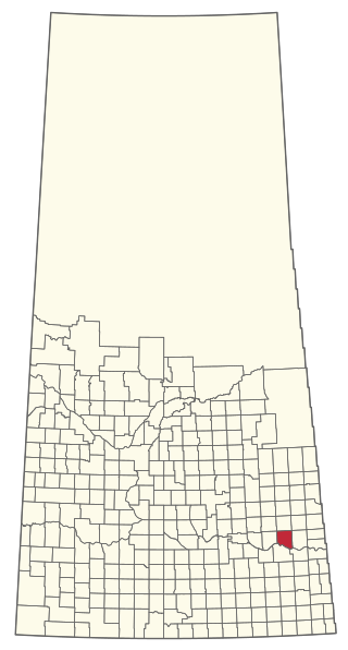
The Rural Municipality of Grayson No. 184 is a rural municipality (RM) in the Canadian province of Saskatchewan within Census Division No. 5 and SARM Division No. 1.

The Rural Municipality of Cote No. 271 is a rural municipality (RM) in the Canadian province of Saskatchewan within Census Division No. 9 and SARM Division No. 4.

The Rural Municipality of Coteau No. 255 is a rural municipality (RM) in the Canadian province of Saskatchewan within Census Division No. 7 and SARM Division No. 3.
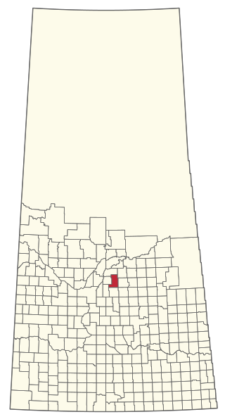
The Rural Municipality of Hoodoo No. 401 is a rural municipality (RM) in the Canadian province of Saskatchewan within Census Division No. 15 and SARM Division No. 5.
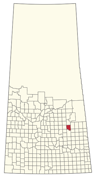
The Rural Municipality of Sasman No. 336 is a rural municipality (RM) in the Canadian province of Saskatchewan within Census Division No. 10 and SARM Division No. 4.
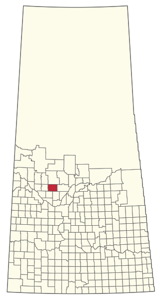
The Rural Municipality of Meeting Lake No. 466 is a rural municipality (RM) in the Canadian province of Saskatchewan within Census Division No. 16 and SARM Division No. 6.

The Rural Municipality of Meota No. 468 is a rural municipality (RM) in the Canadian province of Saskatchewan within Census Division No. 17 and SARM Division No. 6.

The Rural Municipality of Paddockwood No. 520 is a rural municipality (RM) in the Canadian province of Saskatchewan within Census Division No. 15 and SARM Division No. 5.


