Ampang Jaya

Last updated

Ampang
Town
Other transcription(s)
   Jawi امڤڠ
   Tamil அம்பாங்
   Chinese 安邦
Ampang Jaya (2017).jpg
The Seal of Ampang Jaya Municipal Council.png
Motto(s): 
Berbakti, Bersih, Berbudaya
Service, Clean, Cultural
Malaysia location map.svg
Red pog.svg
Ampang
Location in Malaysia
Coordinates: 3°9′0″N101°46′12″E / 3.15000°N 101.77000°E / 3.15000; 101.77000
CountryFlag of Malaysia.svg  Malaysia
State Selangor
Granted
Municipal Status
1 July 1992
Government
  TypeLocal government
  Body Ampang Jaya Municipal Council
  PresidentDR. ANI BINTI AHMAD
Area
  Total143.5 km2 (55.4 sq mi)
Population
 (2020 [1] )
  Total781,089
  Density3,711/km2 (9,610/sq mi)
Time zone UTC+8 (MST)
  Summer (DST)Not observed
Postcode
68000
55100
53100
Calling code +60-3-42, +60-3-41, +60-3-92
Website http://www.mpaj.gov.my

Ampang Jaya, more commonly known as just Ampang, is a town, a mukim and a parliamentary constituency straddling parts of the Hulu Langat District and Gombak District, in eastern Selangor, Malaysia. It is located just outside the eastern border of Kuala Lumpur Federal Territory.

Contents

It is administered by the Ampang Jaya Municipal Council (MPAJ), which is the formal name of the township as well.

History

Kuala Lumpur was founded in 1857 at the confluence of the Sungei Lumpur (now Gombak River) and the Klang River, which now houses the Kuala Lumpur Jamek Mosque. Before the arrival of the Chinese for tin mining, Kuala Lumpur was a small hamlet with only several shops and houses. [2] Raja Abdullah, who is also the representative of the Sultan in Klang, and Raja Juma'at of Lukut sent 87 Chinese miners from Lukut in 1857 to open tin mines in Ampang, thus beginning the development of Kuala Lumpur. [3] Ampang was one of the earliest areas in the Klang Valley to be opened for tin mining. The name "Ampang" derives from the old spelling of the Malay word empangan (or ampangan), meaning dam; the place was named in reference to the miners' dams. [2] A road was built to connect Ampang to Kuala Lumpur which is today Jalan Ampang.

Between colonial rule and February 1974, Ampang district was part of the greater Kuala Lumpur district in Selangor. Following the creation of the Federal Territory of Kuala Lumpur on 1 February 1974, Ampang district was split into two; the western part, located within the Federal Territory, became Ampang Hilir, [4] and the eastern part, remained in Selangor, as part of Hulu Langat (Kajang) District. [5]

During the height of the Malayan Emergency in the 1950s, the British established the Ampang New Village, which became one of the largest Chinese settlements in the Klang Valley. The Kau Ong Yah Lam Thian Kiong Temple (安邦南天宮) in Ampang New Village is famous for the Nine Emperor Gods festival, which is celebrated annually on the 9th month of the Chinese lunar calendar, between late-September and early-October.

Evolution of Ampang Jaya since 1977 AJ Evolution.svg
Evolution of Ampang Jaya since 1977

On 1 July 1992, the Gombak District Council (Majlis Daerah Gombak) and the Hulu Langat District Council (Majlis Daerah Hulu Langat) respectively ceded the districts of Ulu Klang and Ampang, forming the Ampang Jaya Municipal Council.

One block of the Highland Towers, located within Ampang Jaya's territory, collapsed on 11 December 1993.

On 16 December 1996, Malaysia's first metro line, the LRT Ampang Line, opened for service.

Geography

Ampang metro line depot, showing the old trains Ampang depot (Ampang Line), Ampang, Selangor.jpg
Ampang metro line depot, showing the old trains

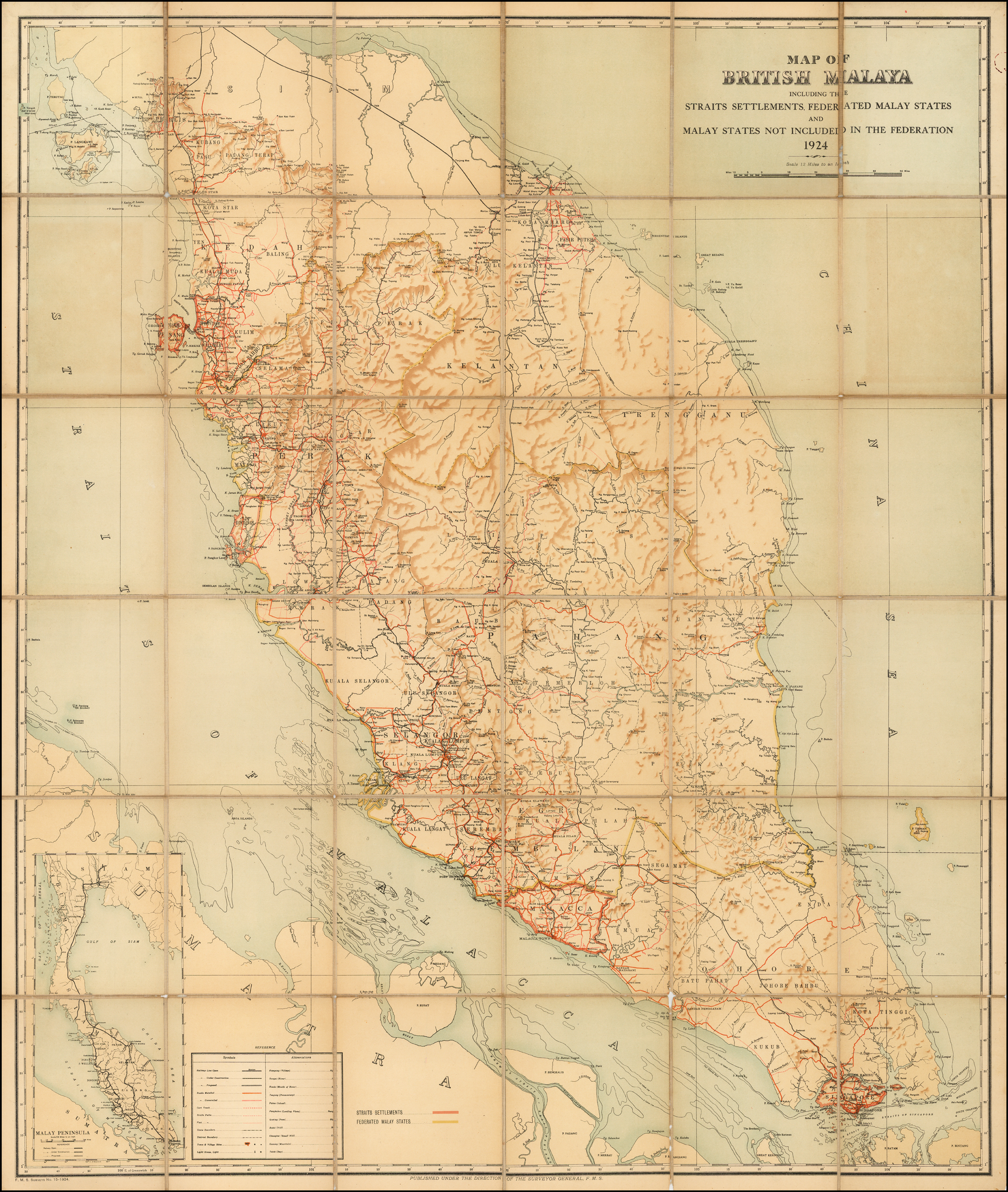
Situated to the east of Kuala Lumpur, Ampang Jaya covers an area of 143.5 km2, covering the parliamentary constituencies of Ampang, Pandan and Gombak, and stretches from Pandan Indah from the south, through Ampang town, Hulu Klang, Melawati, and touching the Klang Gates Dam in the north.

Clockwise, Ampang Jaya borders the remainder of Hulu Langat District in the east and south, the Federal Territory of Kuala Lumpur in the west, Gombak District in the north, and a short border with Bentong (Pahang) in the northeast.

Demographics

Ethnic breakdown of Ampang Jaya as of 2009 [6]

   Malay (56.5%)
   Chinese (30.0%)
   Indian (7.00%)
  Other ethnicities (6.5%)

Ampang is known for its diverse ethnic makeup. Data from MPAJ shows that 56.5% of Ampang Jaya's residents are Malays, while the Chinese make up about 30%. Indians make up 7%, while the remainder is made up of other ethnicities, nationalities and expatriates. [7]

Culture

Ampang yong tau foo Ampang yong tau foo.jpg
Ampang yong tau foo

Ampang is famous for yong tau foo, a stuffed bean curd dish of Hakka origin. [8]

Education

International School of Kuala Lumpur (ISKL) secondary campus ISKL.jpg
International School of Kuala Lumpur (ISKL) secondary campus

The former International School of Kuala Lumpur (ISKL) secondary campus is in Ampang. The ADNI Islamic school is also based in the town.

List of Schools in Ampang Jaya

Primary Schools

  • Sekolah Kebangsaan Ampang
  • Sekolah Kebangsaan Ampang Campuran
  • Sekolah Kebangsaan Cheras Indah
  • Sekolah Kebangsaan (1) Kuala Ampang
  • Sekolah Kebangsaan (2) Kuala Ampang
  • Sekolah Kebangsaan Pandan Indah
  • Sekolah Kebangsaan Pandan Perdana
  • Sekolah Kebangsaan Taman Bukit Indah
  • Sekolah Kebangsaan Taman Keramat
  • Sekolah Kebangsaan Taman Kosas
  • Sekolah Kebangsaan Taman Melawati
  • Sekolah Kebangsaan Taman Nirwana
  • Sekolah Jenis Kebangsaan (Cina) On Pong


Secondary School

  • Sekolah Menengah Kebangsaan Bandar Baru Ampang
  • Sekolah Menengah Kebangsaan Bukit Indah
  • Sekolah Menengah Kebangsaan Hulu Klang
  • Sekolah Menengah Kebangsaan Pandan Indah
  • Sekolah Menengah Kebangsaan Pandan Jaya
  • Sekolah Menengah Kebangsaan Pandan Mewah
  • Sekolah Menengah Kebangsaan Taman Melawati
  • Sekolah Menengah Kebangsaan Taman Keramat
  • Sekolah Menengah Kebangsaan Taman Kosas
  • Sekolah Menengah Kebangsaan Taman Seraya
  • Sekolah Menengah Kebangsaan Tasek Permai

List of Higher Learning Institutions in Ampang Jaya

Public Higher Learning Institutions

The nearest private higher learning institution to Ampang Jaya, Poly-Tech Mara University (UPTM) in Cheras is located adjacent to the boundary between Pandan Indah, Ampang and Shamelin, Cheras, Kuala Lumpur.

Politics

Ampang is represented in the Dewan Rakyat of the Malaysian Parliament by Rodziah Ismail of PKR. She has held the seat since 2022.

On the state level, Ampang contributes two seats to the Selangor State Legislative Assembly, namely:

The Ampang Jaya municipality however also covers the Pandan parliamentary constituency and the Hulu Klang state constituency within the Gombak parliamentary constituency.

Transportation

Car

Effectively a suburb of Kuala Lumpur, Ampang is well connected to other places by a series of federal highways, tolled highways and state routes. Jalan Ampang Jkr-ft---.svg B31 is the main thoroughfare from downtown Kuala Lumpur until Taman Rimba Ampang. The AKLEH diverted some of the traffic from Jalan Ampang. The MRR2 Federal Route 28 runs through Ampang in a north–south orientation - this road is now the main route taken by Ampang motorists to get to either Pahang due north or Negeri Sembilan due south. The Besraya Expressway extension begins in Kampung Ampang Campuran, goes through Pandan Indah and all the way to Seri Kembangan.

Besides that, there is a state-level hill road to Hulu Langat Jkr-ft---.svg B62 which serves as a shortcut to Kajang.

Public transportation

 AG18  Ampang is the namesake and terminus of the Ampang Line, which is Malaysia's first LRT/metro system. The station, renovated in 2012, is located along Jalan Ampang. The stretch between Ampang and Plaza Rakyat used to be part of KTM Intercity until the 1990s. KTM presently does not serve Ampang or its surroundings.

Other than the aforementioned Ampang station, the Ampang Jaya municipal district is also served by the  AG17  Cahaya,  AG16  Cempaka,  AG15  Pandan Indah and  AG14  Pandan Jaya stations, all on the Ampang Line.

The Cempaka-Pandan Jaya stretch is however not in Ampang proper, but located in the adjacent constituency of Pandan instead.

According to unofficial proposals, a MRT Circle Line, surrounding downtown Kuala Lumpur would be built. Ampang station was reportedly one of the possible stops, along Abdullah Hukum, Bandar Malaysia, Segambut, Sentul Timur, Jelatek and Taman Midah.

Besides the LRT, bus and taxi options are available. For example, rapidKL bus route 300 leads from the Ampang LRT station to KLCC.

See also

Related Research Articles

<span class="mw-page-title-main">Kajang</span> City in Selangor, Malaysia

Kajang is a town in Hulu Langat District, Selangor, Malaysia. Kajang, along with much of Hulu Langat District, is governed by the Kajang Municipal Council. Kajang town is located on the eastern banks of the Langat River. It is surrounded by Cheras, Semenyih, Bangi, Putrajaya and Serdang.

<span class="mw-page-title-main">Selangor</span> State of Malaysia

Selangor, also known by its Arabic honorific Darul Ehsan, or "Abode of Sincerity", is one of the 13 states of Malaysia. It is on the west coast of Peninsular Malaysia and is bordered by Perak to the north, Pahang to the east, Negeri Sembilan to the south, and the Strait of Malacca to the west. Selangor surrounds the federal territories of Kuala Lumpur and Putrajaya, both of which were previously part of it. Selangor has diverse tropical rainforests and an equatorial climate. The state's mountain ranges belong to the Titiwangsa Mountains, which is part of the Tenasserim Hills that covers southern Myanmar, southern Thailand and Peninsular Malaysia, with Mount Semangkok as the highest point in the state.

<span class="mw-page-title-main">Hulu Langat District</span> District of Malaysia in Selangor

Hulu Langat District is a district located in the southeastern corner of Selangor, between Kuala Lumpur and Negeri Sembilan. It is bordered by the state of Pahang to the east and north, Gombak district to the north-west, Federal Territory of Kuala Lumpur and Petaling district to the west, Sepang district to the south-west, and state of Negeri Sembilan to the south.

<span class="mw-page-title-main">Cheras, Kuala Lumpur</span> Suburb and Mukim in Selangor and Federal Territory of Kuala Lumpur, Malaysia

Cheras is a suburban and a district, straddling both the Federal Territory of Kuala Lumpur and Hulu Langat District in the state of Selangor, Malaysia.

<span class="mw-page-title-main">Ampang, Kuala Lumpur</span> Place in Federal Territory of Kuala Lumpur, Malaysia

Ampang, or Ampang Hilir, is a ward and city district, in the eastern part of Kuala Lumpur (KL) in the Titiwangsa constituency. Its area in Kuala Lumpur can be identified as being along the Ampang Road and Ampang Hilir.

<span class="mw-page-title-main">Puchong</span> Town in Selangor, Malaysia

Puchong is a major town and a parliamentary constituency in Petaling District, Selangor, Malaysia.

<span class="mw-page-title-main">Wangsa Maju</span> Township in Federal Territory of Kuala Lumpur, Malaysia

Wangsa Maju is a township and a constituency in Kuala Lumpur, Malaysia. This area is surrounded by Setapak, Taman Melati and Gombak district in Selangor. Wangsa Maju is one of the major suburbs in Kuala Lumpur.

<span class="mw-page-title-main">Ulu Kelang</span> Mukim in Selangor, Malaysia

Ulu Kelang, is a mukim and a state constituency in Gombak District, Selangor, Malaysia. It is one of five state constituencies administered by Majlis Perbandaran Ampang Jaya (MPAJ).

Jalan Ampang or Ampang Road is a major road in Klang Valley region, Selangor and Federal Territory of Kuala Lumpur, Malaysia. Built in the 1880s, it is one of the oldest roads in the Klang Valley. It is a main road to Ampang Jaya and is easily accessible from Jalan Tun Razak or Jalan Ulu Klang from the Hulu Kelang or Setapak direction. It is also accessible from Cheras through Jalan Shamelin, from Jalan Tun Razak through Jalan Kampung Pandan via Taman Cempaka, from Kampung Pandan through Jalan Kampung Pandan Dalam via Taman Nirwana, from the Kuala Lumpur Middle Ring Road 2 via Pandan Indah & Taman Kencana and from Hulu Langat town through the mountain pass. Wangsa Maju, Setapak, central Kuala Lumpur, Ampang Park and Salak South surround Ampang. Jalan Ampang became the backbone of the road system linking Ampang to Kuala Lumpur before being surpassed by the Ampang–Kuala Lumpur Elevated Highway (AKLEH) Ampang–Kuala Lumpur Elevated Highway, in 2001.

<span class="mw-page-title-main">Pandan Jaya LRT station</span> Railway station in Ampang Jaya, Malaysia

Pandan Jaya LRT station is a Malaysian low-rise rapid transit station situated near and named after Pandan Jaya, in Ampang Jaya, Selangor. The station is part of the Ampang Line. The station was opened on December 16, 1996, as part of the first phase of the STAR system's opening, alongside 13 adjoining stations along the Sultan Ismail-Ampang route.

Bukit, the Indonesian or Malay word for hill, may refer to:

<span class="mw-page-title-main">Pandan Indah</span>

Pandan Indah is a major township in Ampang, Kuala Lumpur, Malaysia. It is located between Ampang proper and Cheras.

<span class="mw-page-title-main">Ampang Jaya Municipal Council</span> A local authority in Selangor

Ampang Jaya Municipal Council is the local authority which administers Ampang Jaya of Selangor, Malaysia. It was founded on 1 July 1992, by combining the sub-districts (Mukim) of Ulu Klang and Ampang from the Gombak District Council and Hulu Langat District Council respectively.

Bandar Seri Putra is a township in Bangi in Hulu Langat District, Selangor, Malaysia. This township is about 30 km from Kuala Lumpur and 18 km from Kuala Lumpur International Airport. The township is some 2.5 km from the Selangor–Negeri Sembilan border.

Saujana Impian is a township in Hulu Langat District, Selangor, Malaysia. This township is located about 2 kilometres from Kajang town. The Impian Golf & Country Club is located within this township.

<span class="mw-page-title-main">Greater Kuala Lumpur</span> Metropolitan area in Malaysia

Greater Kuala Lumpur is the geographical term that determines the boundaries of metropolitan Kuala Lumpur in Malaysia. Though similar to the term "Klang Valley", there remains a variation between the two. It is similar to Greater London and Greater Toronto. The metropolitan area covers 5,194.72 square km of land.

Gombak is a town and locality in the mukim of Setapak in the coterminous Gombak District, Selangor, Malaysia.

The following is an alphabetical list of articles related to Selangor.

References

  1. "Banci Penduduk dan Perumahan 2020, Malaysia" . Retrieved 15 May 2022.
  2. 1 2 J.M. Gullick (1983). The story of Kuala Lumpur, 1857–1939. Eastern Universities Press (M). pp. 1–2. ISBN   978-967-908-028-5.
  3. J.M. Gullick (1955). "Kuala Lumpur 1880–1895" (PDF). Journal of the Malayan Branch of the Royal Asiatic Society. 24 (4): 10–11. Archived from the original (PDF) on 28 May 2015.
  4. "JPS WPKL - Profil Daerah" (PDF). Retrieved 22 January 2020.[ permanent dead link ]
  5. "Map of British Malaya, including the Straits Settlements, Federated Malay States and Malay States not included in the Federation, 1924". Raremaps.com. Retrieved 22 January 2020.
  6. "Statistik". Majlis Perbandaran Ampang Jaya. 12 August 2015. Retrieved 22 January 2020.
  7. "Statistik". Majlis Perbandaran Ampang Jaya. 12 August 2015. Retrieved 22 January 2020.
  8. "Preserving Pekan Ampang".