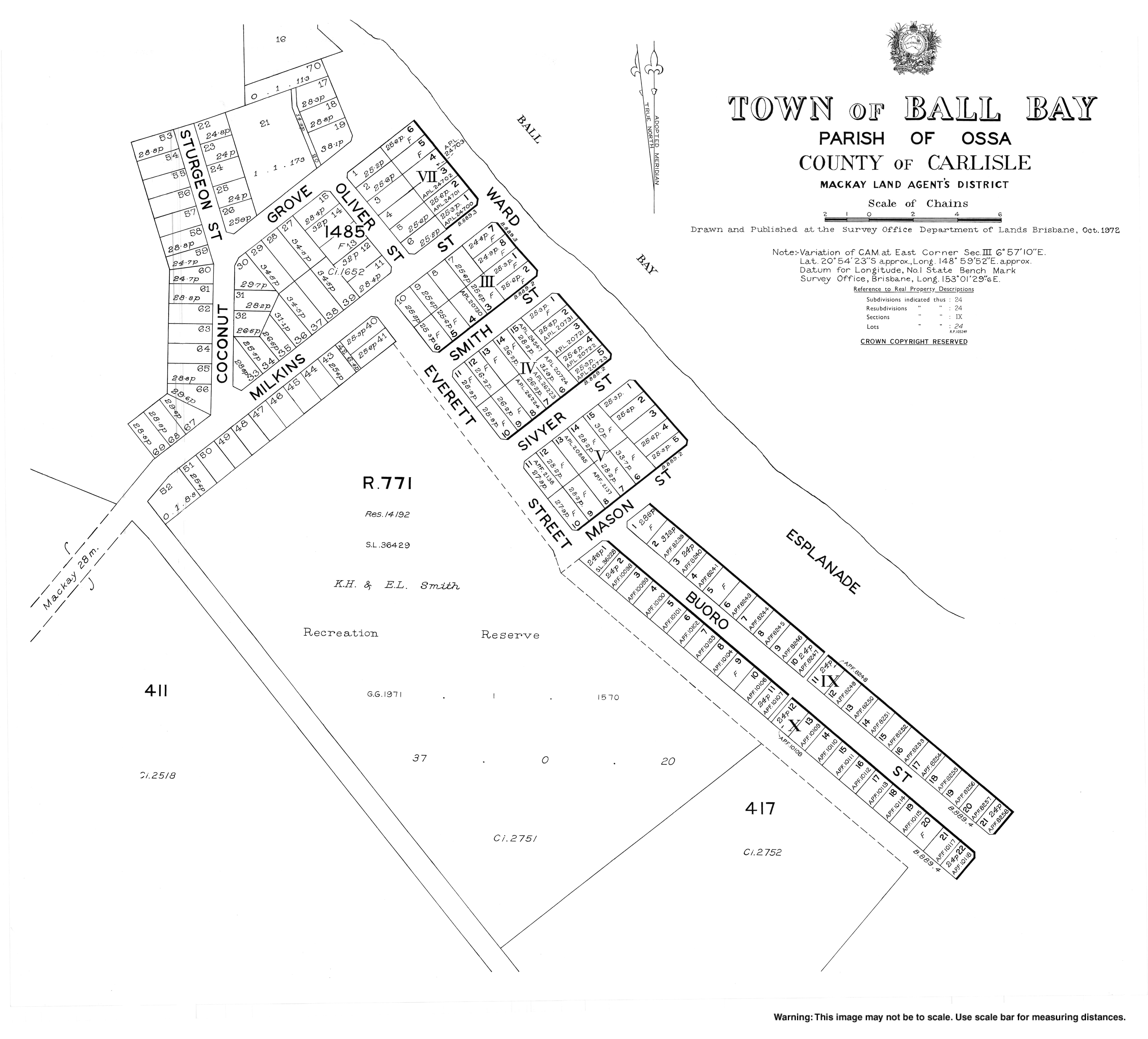
Ball Bay, Queensland

Last updated

Ball Bay
Queensland
StateLibQld 1 154467 Footprints in the sand at Ball Bay, 1948.jpg
Footprints in the sand at Ball Bay, 1948
Australia Queensland location map.svg
Red pog.svg
Ball Bay
Coordinates 20°54′21″S148°59′49″E / 20.9058°S 148.9969°E / -20.9058; 148.9969
Population384 (2021 census) [1]
Postcode(s) 4741
Time zone AEST (UTC+10:00)
LGA(s) Mackay Region
State electorate(s) Whitsunday
Federal division(s) Dawson
Localities around Ball Bay:
Haliday Bay Coral Sea Coral Sea
Seaforth Ball Bay Cape Hillsborough
Mount Jukes Mount Jukes Cape Hillsborough

Ball Bay is a coastal rural town, a locality and a bay in Mackay Region, Queensland, Australia. [2] [3] [4] In the 2021 census, the locality of Ball Bay had a population of 384 people. [1]

Contents

Geography

Ball Bay is located 43 kilometres (27 mi) north-west of Mackay and 71 kilometres (44 mi) south-east of Proserpine. It is the nearest settlement to Cape Hillsborough National Park. [5]

Demographics

In the 2011 census, the locality of Ball Bay had a population of 628 people. [6]

In the 2016 census, the locality of Ball Bay had a population of 360 people. [7]

In the 2021 census, the locality of Ball Bay had a population of 384 people. [1]

Amenities

The Mackay Regional Council operate a camping ground at Ball Bay. Beach fishing is a popular local activity. [5]

The Mackay Regional Council operates a mobile library service on a fortnightly schedule at Coconut Grove. [8] [9]

Related Research Articles

<span class="mw-page-title-main">Hay Point, Queensland</span> Town in Queensland, Australia

Hay Point is a coastal locality in Mackay Region, Queensland, Australia. It contains two towns, Hector on its north coast and Half Tide on its south coast. In the 2016 census, Hay Point had a population of 1,348 people.

Gargett is a rural locality in the Mackay Region, Queensland, Australia. In the 2016 census Gargett had a population of 261 people.

<span class="mw-page-title-main">Walkerston, Queensland</span> Town in Queensland, Australia

Walkerston is a town and locality in Mackay Region, Queensland, Australia. The town is situated on the Peak Downs Highway 14 kilometres (8.7 mi) south-west of Mackay. In the 2021 census, the locality of Walkerston had a population of 3,615 people.

<span class="mw-page-title-main">Woodgate, Queensland</span> Town in Queensland, Australia

Woodgate is a coastal locality in the Bundaberg Region, Queensland, Australia. In the 2016 census Woodgate had a population of 1,165 people.

Homebush is a rural locality in the Mackay Region, Queensland, Australia. In the 2016 census Homebush had a population of 271 people.

Bucasia is a coastal town and suburb of Mackay in the Mackay Region, Queensland, Australia. In the 2021 census, the suburb of Bucasia had a population of 4,915 people.

<span class="mw-page-title-main">Mount Jukes, Queensland</span> Suburb of Mackay Region, Queensland, Australia

Mount Jukes is a mountain and surrounding coastal rural locality north of Mackay in the Mackay Region, Queensland, Australia. In the 2021 census, Mount Jukes had a population of 373 people.

<span class="mw-page-title-main">North Eton, Queensland</span> Suburb of Mackay Region, Queensland, Australia

North Eton is a rural locality in the Mackay Region, Queensland, Australia. In the 2021 census, North Eton had a population of 189 people.

Netherdale is a rural locality in the Mackay Region, Queensland, Australia. In the 2021 census, Netherdale had a population of 121 people.

<span class="mw-page-title-main">Habana, Queensland</span> Suburb of Mackay Region, Queensland, Australia

Habana is a coastal rural locality in the Mackay Region, Queensland, Australia. In the 2021 census, Habana had a population of 1,022 people.

Glenella is a mixed-use town and suburb of Mackay in the Mackay Region, Queensland, Australia. In the 2021 census, the locality of Glenella had a population of 4,545 people.

Bloomsbury is a town and coastal locality in the Mackay Region, Queensland, Australia. In the 2016 census, the locality of Bloomsbury had a population of 598 people.

Shoal Point is a coastal suburb in the Mackay Region, Queensland, Australia. In the 2021 census, Shoal Point had a population of 1,104 people.

Oakenden is a rural locality in the Mackay Region, Queensland, Australia. In the 2021 census, Oakenden had a population of 424 people.

Hampden is a rural locality in the Mackay Region, Queensland, Australia. In the 2021 census, Hampden had a population of 598 people.

Chelona is a rural locality in the Mackay Region, Queensland, Australia. In the 2021 census, Chelona had a population of 120 people.

McEwens Beach is a coastal town and rural locality in the Mackay Region, Queensland, Australia. In the 2016 census, the locality of McEwens Beach recorded a population of 202 people.

St Helens Beach is a coastal town and locality in the Mackay Region, Queensland, Australia. In the 2016 census the locality of St Helens Beach had a population of 197 people.

<span class="mw-page-title-main">Cremorne, Queensland</span> Suburb of Mackay, Queensland, Australia

Cremorne is a mixed-use locality in the Mackay Region, Queensland, Australia. In the 2021 census, Cremorne had a population of 19 people.

Dunnrock is a coastal rural locality in the Mackay Region, Queensland, Australia. In the 2021 census, Dunnrock had a population of 58 people.

References

  1. 1 2 3 Australian Bureau of Statistics (28 June 2022). "Ball Bay (SAL)". 2021 Census QuickStats. Retrieved 28 February 2023. OOjs UI icon edit-ltr-progressive.svg
  2. "Ball Bay – population centre in the Mackay Region (entry 1362)". Queensland Place Names. Queensland Government . Retrieved 13 November 2019.
  3. "Ball Bay – locality in the Mackay Region (entry 46758)". Queensland Place Names. Queensland Government . Retrieved 13 November 2019.
  4. "Ball Bay – bay in the Mackay Region (entry 1361)". Queensland Place Names. Queensland Government . Retrieved 13 November 2019.
  5. 1 2 "Further North & the Hibiscus Coast" (PDF). Mackay Regional Council. Archived from the original (PDF) on 23 March 2014. Retrieved 22 March 2014.
  6. Australian Bureau of Statistics (31 October 2012). "Ball Bay". 2011 Census QuickStats. Retrieved 23 March 2014. OOjs UI icon edit-ltr-progressive.svg
  7. Australian Bureau of Statistics (27 June 2017). "Ball Bay (SSC)accessdate=213 November 2019". 2016 Census QuickStats. OOjs UI icon edit-ltr-progressive.svg
  8. "Libraries: Contact/Opening Hours". Mackay Regional Council. Archived from the original on 1 March 2016. Retrieved 28 April 2017.
  9. "Mobile Library Timetable 2017" (PDF). Mackay Regional Council. Archived from the original (PDF) on 1 March 2017. Retrieved 8 May 2017.