The Bruce Highway traverses the locality from south to north, passing through the town which is approximately in the centre of the locality. The North Coast railway also traverses the locality from south to north, running mostly parallel and immediately west of the highway, with the town serviced by the Bloomsbury railway station.[4][5]
The Cathu State Forest is in the south-west of the locality. Apart from that, the locality is a mixture of low-lying farming land, mostly used for sugarcane. There is a cane tramway through the locality to transport the harvested sugarcane to the local sugar mills. Other parts of the locality are mountainous and undeveloped.[4]
History
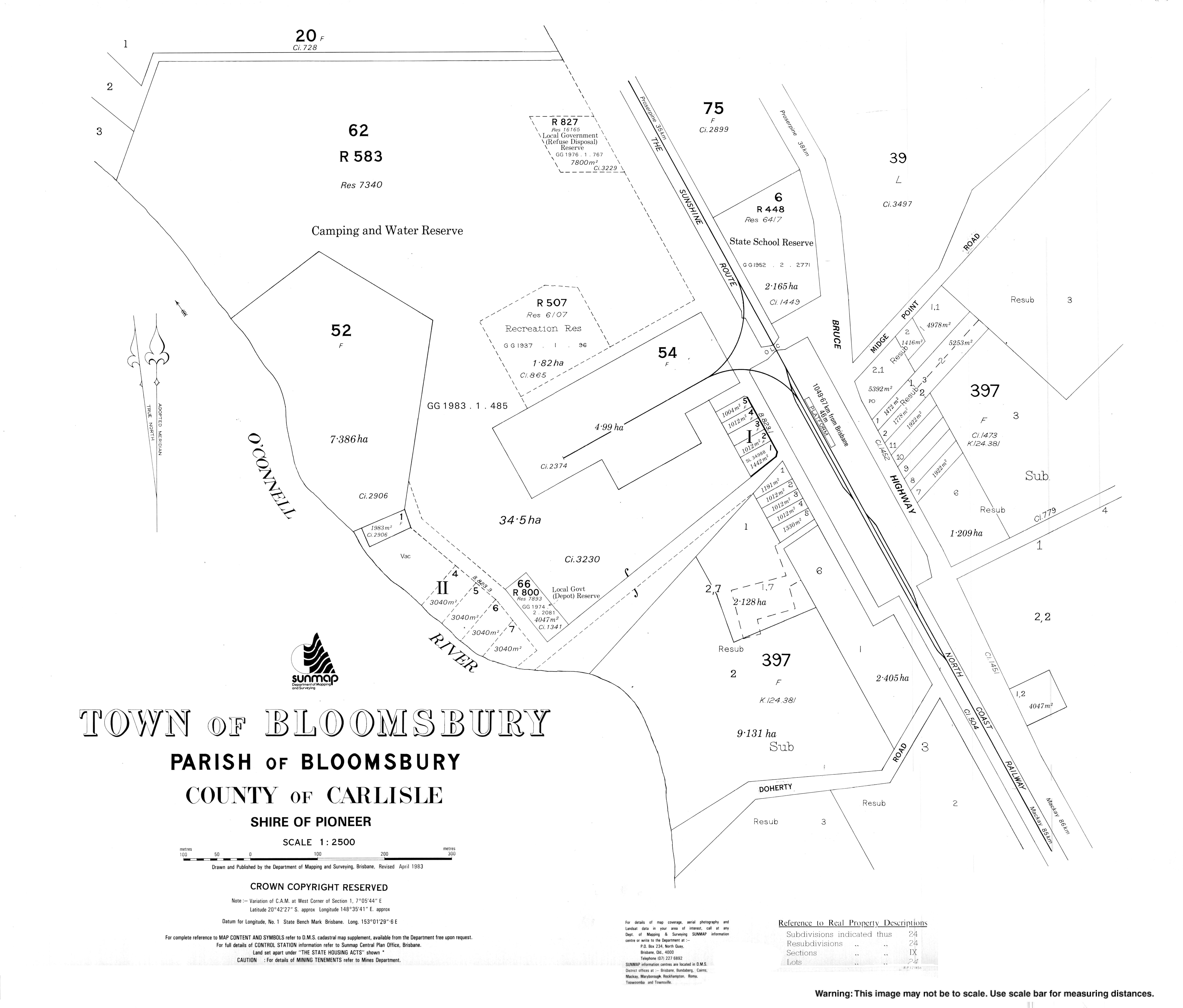
The town presumably takes its name from the parish of the same name, which in turn was named after the cattle station founded by W. Macartney.[6]
A postal receiving office opened at Bloomsbury around 1896, became a post office in March 1909, and closed around 1916. A second receiving office opened around 1925, became a post office in March 1926 and closed around 1993.[7]
In 1923, a large steel-and-concrete railway bridge was erected over the Andromache River as part of the construction of the North Coast railway line. It is on the boundary of three adjacent localities (Andromache, Bloomsbury, and Thoopara).[8][9][10]
Bloomsbury State School opened on 16 May 1927.[11]
In the 2016 census, the locality of Bloomsbury had a population of 598 people.[17]
In the 2021 census, the locality of Bloomsbury had a population of 539 people.[1]
Education
Bloomsbury State School is a government primary (Prep-6) school for boys and girls at 8545 Bruce Highway (20°42′10″S148°35′44″E / 20.7028°S 148.5955°E / -20.7028; 148.5955 (Bloomsbury State School)).[18][19][20] In 2016, the school had an enrolment of 80 students with 7 teachers (5 full-time equivalent) and 6 non-teaching staff (3 full-time equivalent).[21] In 2018, the school had an enrolment of 49 students with 5 teachers (3 full-time equivalent) and 8 non-teaching staff (3 full-time equivalent).[22] In 2023, the school had an enrolment of 39 students and fewer than 5 teachers.[23] The school draws its students from both the Bloomsbury and adjacent Midge Point localities.[21]
↑ "District Place Names". Daily Mercury. Vol.56, no.562. Queensland, Australia. 9 December 1922. p.8. Retrieved 7 September 2023– via National Library of Australia.
↑ "Bloomsbury". Post Office Reference. Phoenix Auctions. Archived from the original on 4 April 2021. Retrieved 20 March 2021.
↑ "Link with the North". The Telegraph. No.15, 442. Queensland, Australia. 26 May 1922. p.13. Retrieved 1 June 2025– via National Library of Australia.
↑ "NORTH QUEENSLAND". The Daily News. Vol.XLI, no.14, 735. Western Australia. 6 June 1922. p.5 (THIRD EDITION). Retrieved 1 June 2025– via National Library of Australia.
Bloomsbury State School : 75th anniversary : a history of Bloomsbury and Elaroo Schools : 1927 - 2002. Bloomsbury State School 75th Anniversary Committee. 2002. — via State Library of Queensland
This page is based on this Wikipedia article Text is available under the CC BY-SA 4.0 license; additional terms may apply. Images, videos and audio are available under their respective licenses.

