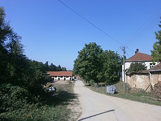
Lešnica is a village in western Serbia. It is located in the municipality of Loznica, in the Mačva District. Lešnica's current population is 4,731.

Thalavoor is a village located in the district of Kollam in the Kerala state of India. It is 77 km to the north of the State Capital, Thiruvananthapuram, and 28 km to the east of District Capital, Kollam. Thalavoor village is bordered by Pattazhy village to the north, Pidavoor village to the north-east, Vilakkudy village to the south-east, Melila village to the south and Mylom village to the west. Thalavoor is a part of Pathanapuram Block Panchayat

Căbești is a commune in Bihor County, Romania, around 13 kilometers north of the town of Beiuș.

The Tekeli Mehmet Paşa Mosque is a mosque in the city of Antalya, Turkey. Mosque takes its name from Lala Mehmed Pasa.
Gyueshevo is a village in Kyustendil Municipality, Kyustendil Province, in western Bulgaria. As of 2006 the population is 275 and the mayor is Stoyne Maksimov. The village is located on the border with the Republic of Macedonia and is the most important of the three border checkpoints between the two countries. It is the last stop of the railway from Sofia. This railway is intended to link the capital to Skopje, but the Macedonian section of the line has not been built. Gyueshevo lies at 42°14′13″N22°28′35″E, 1,016 metres above sea level, in the Osogovo mountains. The local railway station was built in 1910, while the first school dates to 1888. The Prosveta community centre (chitalishte) was opened in 1921. There is also a church mausoleum dedicated to the perished Bulgarian soldiers in the Balkan Wars and the First World War. Gyueshevo was first mentioned in 1570 as Gyuveshevo. The name is thought to originate from the personal name Gyuesh, probably a derivative of George; –esh is a rare personal name suffix used in names such as Dobresh, Malesh or Radesh.

Lehututu is a village in Kgalagadi District of Botswana. It is located in the Kalahari Desert, and it has primary and secondary schools. The population was 1,956 in 2011 census.
Jawory-Wielkopole is a village in the administrative district of Gmina Goworowo, within Ostrołęka County, Masovian Voivodeship, in east-central Poland.
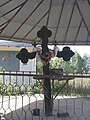
The Karpino Monastery is an important Macedonian Orthodox monastery situated in the northeastern part of North Macedonia, near the city of Kumanovo.
Soucoucoutane is a village and rural commune in Niger.

Namungoona is a neighborhood within Kampala, Uganda's capital and largest city.

Borince is a village in the municipality of Bojnik, Serbia. According to the 2002 census, the village has a population of 45 people.

Đinđuša is a village in the municipality of Bojnik, Serbia. According to the 2002 census, the village has a population of 675 people.
Čukljenik is a village in the municipality of Leskovac, Serbia. According to the 2002 census, the village has a population of 636 people.

Kumarevo is a village in the municipality of Leskovac, Serbia. According to the 2002 census, the village has a population of 825 people.

Nakrivanj is a village in the municipality of Leskovac, Serbia. According to the 2002 census, the village has a population of 1315 people.
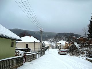
Vlasina Rid is a village in the municipality of Surdulica, Serbia. According to the 2002 census, the village has a population of 276 people.
Popovljane is a settlement in the Suva Reka municipality in the disputed region of Kosovo, southern Serbia. The rural settlement lies on a cadastral area with the same name, with 259 hectares. It lies 796 m above sea level. It has an ethnic Serb majority; in the 1991 census, it had 161 inhabitants.

Podmočani is a village in the Resen Municipality of the Republic of North Macedonia, north of Lake Prespa. The village is roughly 8 kilometres (5.0 mi) from the municipal centre of Resen.
Volkovija is a mountain village in the Republic of Macedonia, part of the Municipality of Brvenica.