56/58 Avenue, Langley Bypass, Glover Road | ||||
Route information | ||||
Maintained by the Ministry of Transportation and Infrastructure | ||||
Length | 26.59 km [1] (16.52 mi) | |||
Existed | 1953–present | |||
Major junctions | ||||
West end | Highway 91 in Delta | |||
Highway 15 in Surrey | ||||
East end | Highway 1 (TCH) in Langley | |||
Location | ||||
Country | Canada | |||
Province | British Columbia | |||
Municipalities | Langley (township) | |||
Major cities | Delta, Surrey, Langley (city) | |||
Highway system | ||||
|
Highway 10 is a minor east-west route through the southern portion of Greater Vancouver. [2] Highway 10 is used mainly as a local access route in North Delta, Surrey and Langley, its former connector role between South Delta and Highway 1 having been taken over by the Highway 17 (South Fraser Perimeter Road).
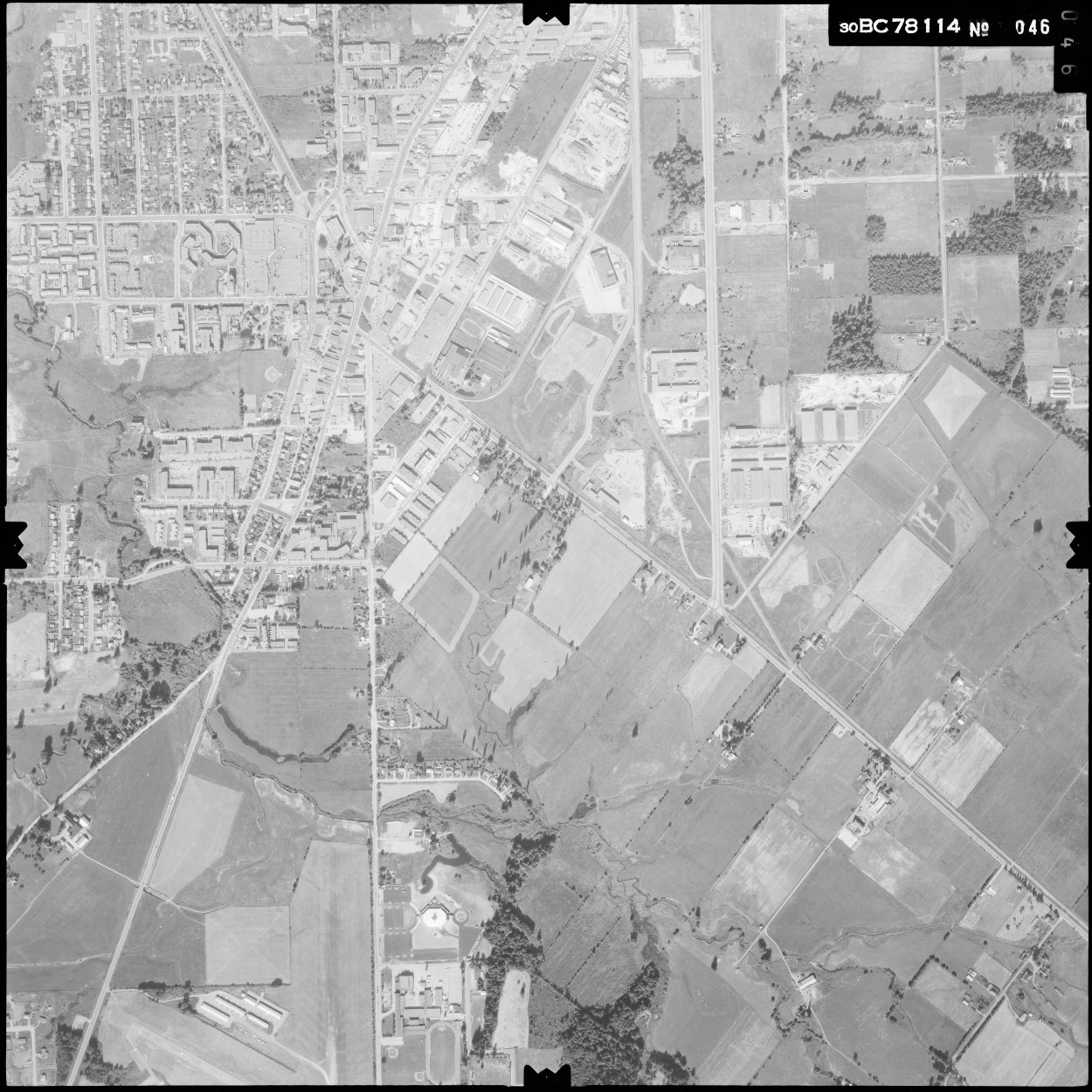
Highway 10 travels for a total length of 26.6 km (16.5 mi) from North Delta to Langley. In the west, the highway begins at an interchange with Highway 91 as a continuation of the Ladner Trunk Road. It travels northeast before turning onto 58 Avenue as it crosses from Delta into Surrey near Watershed Park. Highway 10 then travels through residential neighborhoods in Newton and dips south to intersect King George Boulevard in a split junction near a courthouse complex. [3]
The highway continues east on 56 Avenue through a rural zone before reaching Cloverdale, where it intersects Highway 15. Highway 10 then crosses into the City of Langley and travels around the north side of the city centre on the Langley Bypass. The bypass intersects the Fraser Highway at the Willowbrook Shopping Centre and continues east through an industrial and retail area towards the outskirts of the city. Highway 10 leaves the bypass near the Kwantlen Polytechnic University Langley campus, turning northeast to follow Glover Road into Langley Township. [3]
Highway 10 continues northeast through a rural area of Langley Township and turns east onto Springbrook Road near the Trinity Western University campus. The highway then turns north onto 232 Street and terminates at a cloverleaf interchange with Highway 1. [3]
Highway 10 was first commissioned in 1953, following its current alignment from Ladner east to Scott Road in Delta/Surrey, then turning north onto Scott Road.[ citation needed ] The section west of King George Highway was built over the following years by the provincial government. [4]
The bypass of the Langley city centre opened on July 14, 1966, and was accompanied on its first day by several collisions—seriously injuring two people and killing one person. [5] [6] When the bypass first opened it only went as far east as Glover Road. [7]
In 1967, the highway was re-aligned to continue on the Langley bypass and other roads to a junction with Highway 1 at 232nd Street.[ citation needed ]
On August 28, 1980, the non Highway 10 section of Langley Bypass between Glover Road and Fraser Highway was officially opened. [8]
In 2003, all sections of Highway 10 west of the Highway 91 interchange were removed from the provincial highway system; this was done to keep large trucks off the road and out of rural Delta. The municipality of Delta now maintains this segment of the old highway, now only known as Ladner Trunk Road (locally, it is still referred to as part of Highway 10).
The entire route is in Metro Vancouver Regional District.
Location | km [1] | mi | Destinations | Notes | |
---|---|---|---|---|---|
Delta | 0.00 | 0.00 | Highway 91 to Highway 99 – New Westminster, Airport (YVR), USA border | Hwy 10 western terminus; interchange, Hwy 91 exit 2; becomes 58th Avenue | |
Delta–Surrey line | 1.31 | 0.81 | Scott Road (120th Street) | ||
Surrey | 5.76 | 3.58 | King George Boulevard | Split intersection; becomes 56th Avenue; former Hwy 99A | |
12.55 | 7.80 | Highway 15 (176th Street) – Highway 1, USA border | |||
16.00 | 9.94 | 192nd Street | Becomes Langley Bypass | ||
Langley (City) | 17.44 | 10.84 | Fraser Highway (Highway 1A west) – New Westminster, Langley City Centre | West end of Hwy 1A concurrency | |
17.97 | 11.17 | 200th Street | Connects to Golden Ears Bridge | ||
18.82 | 11.69 | 204th Street | Interchange; westbound to northbound exit; southbound to westbound access | ||
19.67 | 12.22 | Langley Bypass (Highway 1A east) – Aldergrove Glover Road − Langley City Centre | Hwy 10 branches northeast; east end of former Hwy 1A concurrency | ||
Langley (Township) | 23.28 | 14.47 | Glover Road – Fort Langley Springbrook Road | Hwy 10 branches east | |
26.59 | 16.52 | Highway 1 (TCH) – Vancouver, Hope 232nd Street – Fort Langley | Hwy 10 eastern terminus; interchange; Hwy 1 exit 66 | ||
1.000 mi = 1.609 km; 1.000 km = 0.621 mi
|
Delta is a city in the Lower Mainland region of British Columbia, Canada, as part of Greater Vancouver. Located on the Fraser Lowland south of Fraser River's south arm, it is bordered by the city of Richmond on the Lulu Island to the north, New Westminster to the northeast, Surrey to the east, the Boundary Bay and the American pene-exclave Point Roberts to the south, and the Strait of Georgia to the west.
The Township of Langley is a district municipality immediately east of the City of Surrey in southwestern British Columbia, Canada. It extends south from the Fraser River to the Canada–United States border, and west of the City of Abbotsford. Langley Township is not to be confused with the City of Langley, which is adjacent to the township but politically is a separate entity. Langley is located in the eastern part of Metro Vancouver.
Highway 1 is a provincial highway in British Columbia, Canada, that carries the main route of the Trans-Canada Highway (TCH). The highway is 1,047 kilometres (651 mi) long and connects Vancouver Island, the Greater Vancouver region in the Lower Mainland, and the Interior. It is the westernmost portion of the main TCH to be numbered "Highway 1", which continues through Western Canada and extends to the Manitoba–Ontario boundary. The section of Highway 1 in the Lower Mainland is the second-busiest freeway in Canada, after Ontario Highway 401 in Toronto.
Highway 17 is a provincial highway in British Columbia, Canada. It comprises two separate sections connected by a ferry link. The Vancouver Island section is known as the Patricia Bay Highway and connects Victoria to the Swartz Bay ferry terminal in North Saanich. The Lower Mainland section is known as the South Fraser Perimeter Road and connects the Tsawwassen ferry terminal to Delta and Surrey, terminating at an interchange with Highway 1 in the Fraser Valley.
Highway 17A is a 6 km (3.7 mi) long route connecting Highway 99 and Highway 17; this route was originally numbered Highway 17 between these two points but the numbering was altered once the South Fraser Perimeter Road neared completion.
Highway 99 is a provincial highway in British Columbia that runs 377 kilometres (234 mi) from the U.S. border to near Cache Creek, serving Greater Vancouver and the Squamish–Lillooet corridor. It is a major north–south artery within Vancouver and connects the city to several suburbs as well as the U.S. border, where it continues south as Interstate 5. The central section of the route, also known as the Sea to Sky Highway, serves the communities of Squamish, Whistler, and Pemberton. Highway 99 continues through Lillooet and ends at a junction with Highway 97 near Cache Creek.
Highway 91 is an alternative freeway route to Highway 99 through Delta, New Westminster and Richmond, British Columbia. The highway was built in two sections, the first section from Delta to East Richmond in 1986, and the second section across Richmond in 1989.
Highway 15 (BC 15), known locally as the Pacific Highway, is a 20.99-kilometre-long (13.04 mi) north–south highway primarily located in the City of Surrey, British Columbia. The southern terminus is with Interstate 5 (I-5) near Blaine, Washington, as State Route 543 (SR 543). SR 543 is a 1.75-kilometre-long (1.09 mi) connector between I-5 and the Canada–US border, linking with BC 15. Over 3,000 trucks per day pass through the border crossing along SR 543 and BC 15, because the Peace Arch border crossing does not allow commercial trucks.
There are many roads in the southwestern part of British Columbia and Vancouver Island that were designated as Highway 1A. These roads were sections of the original 1941 route of Highway 1 before its various re-alignments, and are used today as service routes and frontage roads. The "B.C. Highway 1A" designations were removed from these sections by the province between 2005 and 2010, although signage remains along some of the route and the designation on some maps.
Highway 13 is an 11.5 km (7.1 mi) long two-lane route through the eastern part of Langley, British Columbia. Highway 13 connects Washington state to the central Fraser Valley.
Highway 7B, known as the Mary Hill Bypass, is a 7.27 km (4.52 mi) long riverside east-west link between the cities of Coquitlam to the west and Port Coquitlam to the east. The Mary Hill Bypass gained its numbered designation in 1996, when it was widened from two to four lanes north of Broadway. Highway 7B meets Highway 7 at both of its ends, and also links to Highway 1 within Coquitlam at the Cape Horn Interchange.
U.S. Route 31 or U.S. Highway 31 (US 31) is a major north–south U.S. highway connecting southern Alabama to northern Michigan. Its southern terminus is at an intersection with US 90/US 98 in Spanish Fort, Alabama. Its northern terminus is at an interchange with Interstate 75 (I-75) south of Mackinaw City, Michigan.
U.S. Route 43 (US 43) is a 410-mile-long (660 km) north–south United States Highway in the Southern states of Alabama and Tennessee. It travels from Prichard, Alabama, to Columbia, Tennessee. The highway's southern terminus is in Prichard, at an intersection with US 90, and its northern terminus is in Columbia at an intersection with US 31/US 412/US 412 Bus.
U.S. Route 264 (US 264) is an east–west United States Highway located completely within the U.S. state of North Carolina, running for 215.7 miles (347.1 km). Its western terminus is located at Interstate 87 (I-87), I-440, and US 64 in Raleigh. US 264 is a freeway between Raleigh and Wilson, with segments running concurrently with I-87, I-587, I-795, and US 64. The highway is largely parallel to I-587 between Wilson and Greenville and primarily serves smaller communities such as Saratoga and Farmville. East of Greenville, US 264 is an important highway connecting communities such as Washington, Belhaven, Swan Quarter, and Engelhard. The eastern terminus of US 264 is located at US 64 in Manns Harbor.
The City of Langley, commonly referred to as Langley City, or just Langley, is a municipality in the Metro Vancouver Regional District in British Columbia, Canada. It lies directly east of Surrey, adjacent to the Cloverdale area, and is surrounded elsewhere by the Township of Langley, bordered by its neighbourhoods of Willowbrook to the north, Murrayville to the east, and Brookswood and Fern Ridge to the south.
North Delta is a largely middle-class commuter town situated in the Lower Mainland, of British Columbia, Canada. The community is the most populous of the three communities that make up the City of Delta. North Delta is home to numerous parks and recreational opportunities. Alongside North Delta is Burns Bog, the largest raised urban peat bog in North America. As well, Watershed Park provides walking and biking trails, home to many artesian aquifers. Besides this, North Delta is home to a large amount of green-space. As of the 2021 census, North Delta has a population of 60,769.
British Columbia Highway 3, officially named the Crowsnest Highway, is an 841-kilometre (523 mi) highway that traverses southern British Columbia, Canada. It runs from the Trans-Canada Highway (Highway 1) at Hope to Crowsnest Pass at the Alberta border and forms the western portion of the interprovincial Crowsnest Highway that runs from Hope to Medicine Hat, Alberta. The highway is considered a Core Route of the National Highway System.
U.S. Route 101 (US 101) is a United States Numbered Highway that runs along the West Coast from Los Angeles, California to Tumwater, Washington. Within the state of Washington, US 101 connects cities on the coast of the Pacific Ocean and encircles the Olympic Peninsula around the Olympic Mountains. It also serves as the main access for Olympic National Park, several state parks, and other scenic and recreational areas.
U.S. Route 395 (US 395) is a United States Numbered Highway that runs from California to the inland regions of Oregon and Washington. It travels north–south through Washington, including long concurrencies with Interstate 82 (I-82) and I-90, and connects the Tri-Cities region to Spokane and the Canadian border at Laurier.
Marine Drive is the name for three major roadways in Greater Vancouver, British Columbia, Canada. The roads are known for running parallel to major bodies of water, with some sections being a major arterial road, while other serve local traffic. Marine Way is the name applied to a section of Marine Drive that was bypassed in the early 1980s.