Franconia is a town in Grafton County, New Hampshire, United States. The population was 1,083 at the 2020 census. Set in the White Mountains, Franconia is home to the northern half of Franconia Notch State Park. Parts of the White Mountain National Forest are in the eastern and southern portions of the town. The Appalachian Trail crosses the town.

Wells is a town in Hamilton County, New York, United States. The population was 674 at the 2010 census. The town is named after Joshua Wells, a land agent, who built the first mills in the area. It is in the Adirondack Park and on the eastern border of the county. It is northwest of Schenectady.

Schuylkill Haven is a borough in Schuylkill County, Pennsylvania, United States. The borough's population was 5,253 as of the 2020 census. Schuylkill Haven is situated along the Schuylkill River, for which it is named. Schuylkill Haven is a focal point of activity in southern Schuylkill County.

Cinder Cone is a cinder cone volcano in Lassen Volcanic National Park within the United States. It is located about 10 mi (16 km) northeast of Lassen Peak and provides an excellent view of Brokeoff Mountain, Lassen Peak, and Chaos Crags.

The purple finch is a bird in the finch family, Fringillidae. It breeds in the northern United States, southern Canada, and the west coast of North America.

The house finch is a North American bird in the finch family. It is native to Mexico and southwestern United States, but has since been introduced to the eastern part of North America and Hawaii; it is now found year-round in all parts of the United States and most of Mexico, with some residing near the border of Canada. There are estimated to be 40 million house finches across North America, making it the second-most populous finch, just behind the American goldfinch. The house finch and the other two American rosefinches are placed in the genus Haemorhous.

The gray-crowned rosy finch or gray-crowned rosy-finch is a species of passerine bird in the family Fringillidae native to Alaska, western Canada, and the north-western United States. Due to its remote and rocky alpine habitat it is rarely seen. There are currently six recognized subspecies. It is one of four species of rosy finches.

The black rosy finch or black rosy-finch is a species of passerine bird in the family Fringillidae native to alpine areas above treeline, of the western United States. It is the most range-restricted member of its genus, and a popular photography subject for birdwatchers.

Trade is an unincorporated community in Johnson County, Tennessee. The easternmost community in the state, Trade is located between the towns of Mountain City, Tennessee, and Boone, North Carolina, along US 421. Generally considered Tennessee's oldest community, Trade was established as a trading outpost in the 18th century, and was visited by English-speakers as early as 1673. At an elevation of 3,133 feet, it is the highest community in Tennessee.

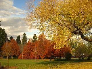
John A. Finch Arboretum 56.65 acres (22.93 ha) is a public arboretum located at West 3404 Woodland Boulevard, Spokane, Washington, United States in the West Hills neighborhood. It is open daily without charge. Dogs are not allowed at the arboretum.
The 8th congressional district of Tennessee is a congressional district in West Tennessee. It has been represented by Republican David Kustoff since January 2017. The district appears rural on a map, but the bulk of its vote is cast in the suburban and exurban areas around Memphis, such as Germantown, Bartlett, and Collierville, as well as Fayette and Tipton counties. This area boasts some of the highest median incomes in the state.

The Wallowa–Whitman National Forest is a United States National Forest in the U.S. states of Oregon and Idaho. Formed upon the merger of the Wallowa and Whitman national forests in 1954, it is located in the northeastern corner of Oregon, in Wallowa, Baker, Union, Grant, and Umatilla counties, and includes small areas in Nez Perce and Idaho counties in Idaho. The forest is named for the Wallowa band of the Nez Perce people, who originally lived in the area, and Marcus and Narcissa Whitman, Presbyterian missionaries who settled just to the north in 1836. Forest headquarters are located in Baker City, Oregon with ranger districts in La Grande, Joseph and Baker City.

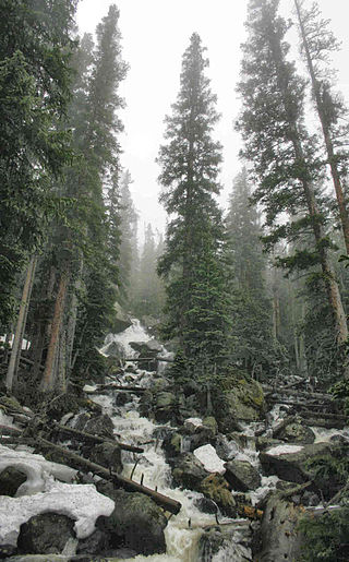
Wild Basin a region in the southeast corner Rocky Mountain National Park in Colorado, United States. The primary entrance is located north of Allenspark off State Highway 7.

Tumalo State Park is a well-developed state park in Deschutes County, Oregon, United States. Established in 1954, the park is located northwest of the city of Bend and along the Deschutes River at a site home to many bird species. The park is popular for picnics, swimming, fishing, hiking, and camping, and is open year-round.

The Kiavah Wilderness is a federally designated wilderness area located in the Mojave Desert, Scodie Mountains, and southern Sierra Nevada in Kern County, California, United States. California State Route 178 connects the town of Lake Isabella to State Highway 14 in the east, crossing Walker Pass at the north boundary of the wilderness.
Banksville is a hamlet in the town of North Castle, Westchester County, New York, United States and an area including Stamford and Greenwich, Connecticut. Estimated to have been founded in the late 1600s, it is an area which had importance for local cottage industries, a boarding school, and local merchants to support its residents in its early days. Banksville was the home of many patriots including veterans who fought in the American Revolution, Civil War and World Wars I and II. Today it remains a vibrant area of neighborhoods that include ancestors from its earliest times.

The South Central Rockies forests is a temperate coniferous forest ecoregion of the United States located mainly in Wyoming, Idaho, and Montana. It has a considerably drier climate than the North Central Rockies forest.

The Mountain states form one of the nine geographic divisions of the United States that are officially recognized by the United States Census Bureau. It is a subregion of the Western United States.

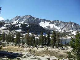
Hell for Sure Lake is an Alpine lake located in the John Muir Wilderness, which is part of the Sierra Nevada mountain range. The lake is at an elevation of 10,768 feet (3,282 m), has a few small rocky islands and is between Red Mountain to the north and Mount Hutton to the south. The Hell for Sure trail and Hell for Sure Pass both are named after this lake with the region being known for its rough terrain. The rocks the surround Hell for Sure Lake and its nearby mountains are estimated to be over 100 million years old.

Disappointment Lake is an Alpine lake located in the John Muir Wilderness, which is part of the Sierra Nevada mountain range. The lake is found by following the Hell for Sure Trail which continues up to Hell for Sure Lake and Hell for Sure Pass. Mount Hutton can be found approximately 1.35 mi (2.17 km) to the south east and Red Mountain can be found approximately 1.13 mi (1.82 km) to the northeast.


