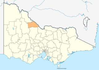
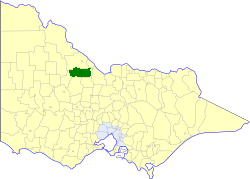
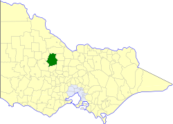
This is a list of places on the Victorian Heritage Register in the Shire of Loddon in Victoria, Australia. The Victorian Heritage Register is maintained by the Heritage Council of Victoria.
The Victorian Heritage Register, as of 2020, lists the following 13 state-registered places within the Shire of Loddon: [1]
| Place name | Place # | Location | Suburb or Town | Co-ordinates | Built | Stateregistered | Photo |
|---|---|---|---|---|---|---|---|
| Blind Creek Ochre Mine and Processing Site | H1757 | off Kingower-Arnold Rd | Kingower | 36°37′07″S143°46′43″E / 36.618630°S 143.778630°E | c. 1900 | 26 November 1998 | |
| Charlie Napier Hotel | H1143 | 29 Brooke St | Inglewood | 36°34′26″S143°52′04″E / 36.573930°S 143.867710°E | 1874 | 14 December 1995 |  |
| East Loddon Station Woolshed | H0480 | 206 Longs Rd | Serpentine | 36°22′08″S143°57′41″E / 36.368870°S 143.961260°E | c. 1871 | 8 April 1981 | |
| Fincham Pipe Organ | H1281 | St Augustine's Church 67 Sullivan St | Inglewood | 36°34′23″S143°52′12″E / 36.573050°S 143.870040°E | 1878 | 9 January 1997 | |
| Glenalbyn Grange | H0779 | 84 Halls Rd | Kingower | 36°34′57″S143°45′54″E / 36.582520°S 143.764990°E | 1850s | 27 June 1990 | |
| Inglewood Court House | H1120 | 91 Southey St | Inglewood | 36°34′22″S143°52′21″E / 36.572740°S 143.872500°E | 1860 | 30 November 1995 |  |
| Janevale Bridge | H1986 | Tarnagulla-Laanecoorie Rd over the Loddon River | Laanecoorie | 36°49′31″S143°53′52″E / 36.825260°S 143.897740°E | 1910-11 | 9 May 2002 | |
| Jones Brothers Eucalyptus Distillery | H0276 | 1 Brooke St | Inglewood | 36°34′06″S143°51′54″E / 36.568410°S 143.864890°E | c. 1900 | 8 March 2007 | |
| Nine Mile Company Gold Mine | H1237 | Nine Mile Rd | Nine Mile | 36°26′07″S143°29′05″E / 36.435200°S 143.484610°E | 1899 | 13 August 1998 | |
| Pyramid railway station | H1696 | Railway Ave | Pyramid Hill | 36°03′11″S144°06′48″E / 36.052950°S 144.113200°E | 1888 | 20 August 1982 |  |
| Tarnagulla Public Hall | H0778 | 69-71 Commercial Rd | Tarnagulla | 36°46′14″S143°49′58″E / 36.770470°S 143.832650°E | 1861-62 | 27 June 1990 |  |
| Tarnagulla Public Park Reserve and Cricket Pavilion | H0736 | Wayman St | Tarnagulla | 36°46′31″S143°49′41″E / 36.775240°S 143.828140°E | 1882 | 5 July 1989 |  |
| Wild Duck Lead Gold Puddling Site | H1252 | Freemantle Track | Waanyarra | 36°50′31″S143°48′59″E / 36.841810°S 143.816380°E | 1950s | 19 December 1996 | |