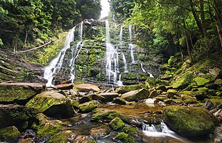
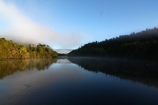
Franklin-Gordon Wild Rivers is a national park in Tasmania, 117 km west of Hobart. It is named after the two main river systems lying within the bounds of the park - the Franklin River and the Gordon River.
Councils of Tasmania are the 29 administrative districts of the Australian state of Tasmania. Local government areas (LGAs), more generally known as councils, are the tier of government responsible for the management of local duties such as road maintenance, town planning and waste management.

Huon Valley Council is a local government body in Tasmania, covering most of the south of the state. Huon Valley is classified as a rural local government area and has a population of 17,219, towns and localities of the region include Cygnet, Dover, Franklin, Geeveston, Southport and the largest principal town, Huonville.
The Pieman River is a major perennial river located in the west coast region of Tasmania, Australia.

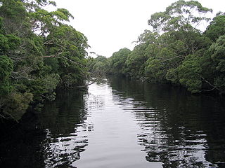
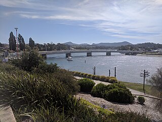
The Huon River is a perennial river located in the south-west and south-east regions of Tasmania, Australia. At 174 kilometres (108 mi) in length, the Huon River is the fifth-longest in the state, with its course flowing east through the fertile Huon Valley and emptying into the D'Entrecasteaux Channel, before flowing into the Tasman Sea.

The Arve River is a river in the southeast region of Tasmania, Australia.
The Henty River is a perennial river in the West Coast region of Tasmania, Australia. The river generally lies north of Queenstown and south of Zeehan.
The Murchison River, part of the Pieman River catchment, is a major perennial river located in the West Coast region of Tasmania, Australia.
South West Tasmania is a region in Tasmania that has evoked curiosity as to its resources over the duration of European presence on the island.
The Davey River is a perennial river located in the south-west region of Tasmania, Australia.

The Gordon Dam, also known as the Gordon River Dam, is a major gated double curvature concrete arch dam with a controlled spillway across the Gordon River, located in South West Tasmania, Australia. The impounded reservoir is called Lake Gordon.
The Weld Valley, located in southern Tasmania, is an area of aboriginal cultural heritage and natural history within the Tasmanian Wilderness World Heritage Area. The valley stretches north-west of Huonville and is approximately 50 kilometres (31 mi) west of Hobart.

The Hastings Caves State Reserve is the setting of a complex of caves and a natural warm springs located 102 km (63 mi) south of Hobart, Tasmania, Australia. Newdegate Cave, the largest dolomite cave in Australia open to tourists, is a part of the complex. They are located 5 kilometres (3.1 mi) from the nearby Lune River fossil/gem centre and the Ida Bay Railway.
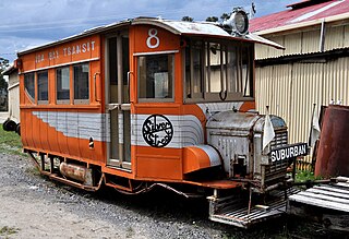
The Ida Bay Railway is a 7-kilometre (4.3 mi), 2 ft narrow gauge Heritage Tramway. Located 105 kilometres (65 mi) south of Hobart, Tasmania, it is the most southerly railway in Australia.

Lune River is a town in south-eastern Tasmania, Australia located near the mouth of a river of the same name. It is home to some 24 people.
The Anthony River, part of the Pieman River catchment, is a perennial river in the West Coast region of Tasmania, Australia.
The Don River is a perennial river for most of its length, located in the north-western region of Tasmania, Australia.
The River Leven is a perennial river for most of its length, located in the north-western region of Tasmania, Australia. It was named by the Van Diemen's Land Company after the River Leven in Scotland.
The Black River is a perennial river for most of its length, located in the north-western region of Tasmania, Australia.
