Mount Airy | |
|---|---|
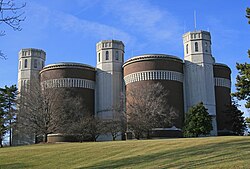 Mt. Airy Water Tower | |
 Mount Airy (red) within Cincinnati, Ohio | |
| Country | United States |
| State | Ohio |
| County | Hamilton |
| City | Cincinnati |
| Population (2020) | |
• Total | 9,210 |
Mount Airy is one of the 52 neighborhoods of Cincinnati, Ohio. [1] The neighborhood is home to Mount Airy Forest, one of the oldest urban reforestation projects in the country. The population was 9,210 at the 2020 census. [2]
