Nagoorin Queensland | |
---|---|
A house in Nagoorin, 2017 | |
Coordinates | 24°21′15″S151°18′02″E / 24.3541°S 151.3005°E Coordinates: 24°21′15″S151°18′02″E / 24.3541°S 151.3005°E |
Postcode(s) | 4680 |
Time zone | AEST (UTC+10:00) |
Location |
|
LGA(s) | Gladstone Region |
State electorate(s) | Callide |
Federal Division(s) | Flynn |
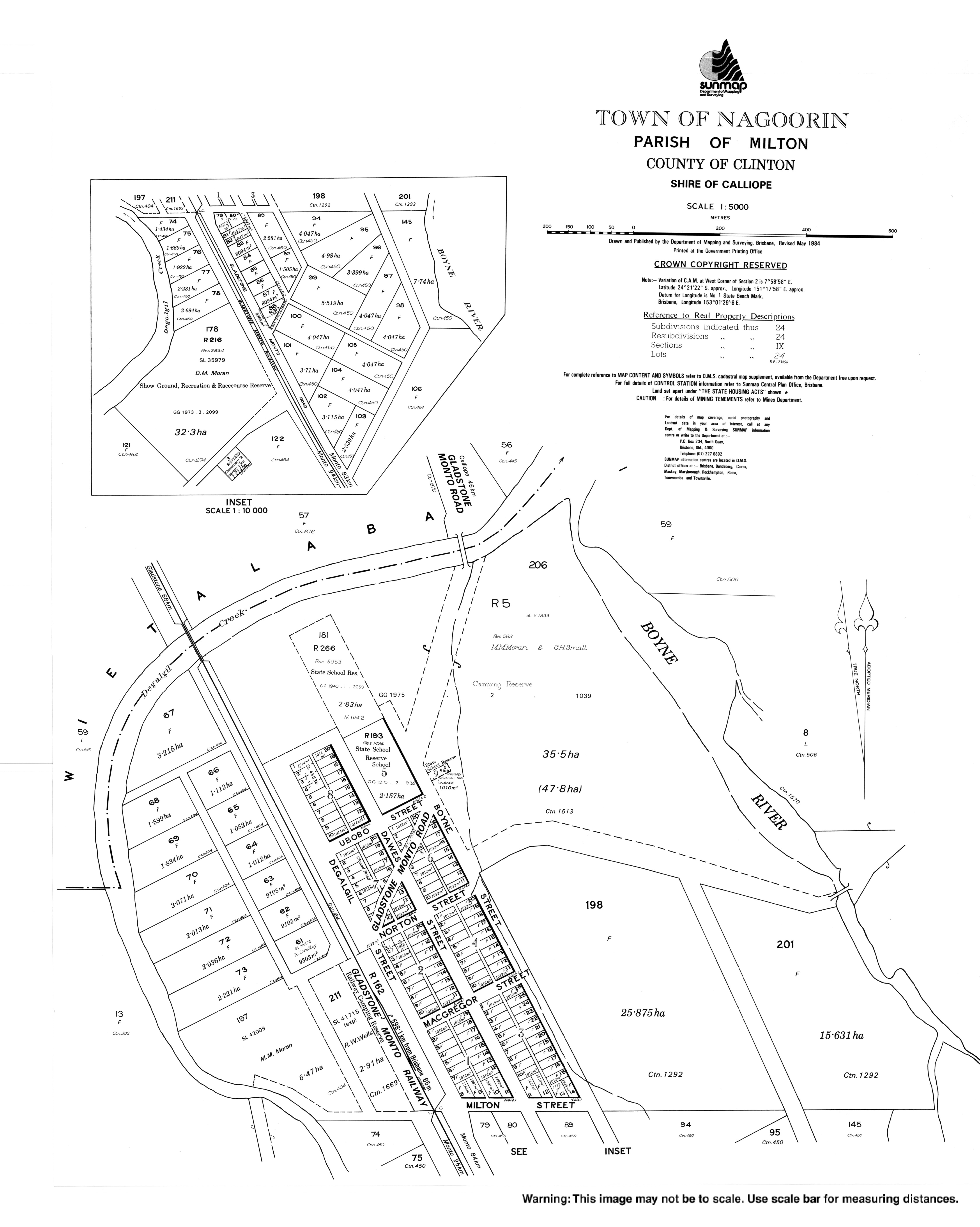
Nagoorin is a rural town in Gladstone Region, Queensland, Australia. [1] It is one of four small townships within the locality of Boyne Valley along with Ubobo, Builyan, and Many Peaks.
Nargoorin State School opened on 18 October 1915. [2]
Nagoorin Post Office opened by 1920 (a receiving office had been open from 1910, originally known as Degalil) and closed by 1982. [3]
Lake View Provisional School opened on 9 February 1910 but closed on 31 June 1917. On 27 February 1920 it reopened. It closed on 31 December 1936. [4]
Nagoorin State School opened on 18 October 15. [4]
Nagoorin has a number of heritage-listed sites, including:
Nagoorin State School is a government primary (Prep-6) school for boys and girls at 2 Ubobo Street ( 24°21′06″S151°18′00″E / 24.3516°S 151.2999°E ). [6] In 2017, the school had an enrolment of 12 students with 2 teachers (1 full-time equivalent) and 4 non-teaching staff (2 full-time equivalent).
There are no secondary schools in Boyne Valley. The nearest is Miriam Vale State School which offers secondary schooling to Year 10. For Years 11 and 12, the nearest schools are Gladstone State High School, Rosedale State School and Monto State High School. [7]
Gladstone is a city in the Gladstone Region, Queensland, Australia. It is approximately 550 km (340 mi) by road north-west of the state capital, Brisbane, and 100 km (62 mi) south-east of Rockhampton. Situated between the Calliope and Boyne Rivers, Gladstone is home to Queensland's largest multi-commodity shipping port.
Calliope is a rural town and locality in the Gladstone Region, Queensland, Australia. In the 2016 census, Calliope had a population of 3,438 people.
Tannum Sands is a coastal town and locality on the central east coast of Queensland, Australia within the Gladstone Region. At the 2016 census, Tannum Sands had a population of 5,145. The population of Tannum Sands and neighbouring twin town Boyne Island is approaching 10,000. The two localities are separated only by the Boyne River and joined by a bridge.
Miriam Vale is a rural town and a locality in the Gladstone Region, Queensland, Australia. In the 2016 census, Miriam Vale had a population of 512 people.
Mount Larcom is the name of a mountain, a township and a locality in the Gladstone Region, Queensland, Australia. The township/locality is at the junction of the Bruce Highway and Gladstone Mount Larcom Road approximately 70 kilometres (43 mi) south of the city of Rockhampton.
Monto is a rural town and locality in the North Burnett Region, Queensland, Australia. In the 2016 census, Monto had a population of 1,189 people.
Baralaba is a rural town and locality in the Shire of Banana in central Queensland, Australia. In the 2016 census, Baralaba had a population of 314 people.
Mulgildie is a town and a locality in the North Burnett Region, Queensland, Australia. In the 2016 census, Mulgildie had a population of 174 people.
Boyne Island is a coastal town and locality in Queensland, Australia, 25 kilometres (16 mi) south of Gladstone. It is part of the local government area of Gladstone Region. At the 2016 census, Boyne Island had a population of 4,760.
The Boyne Valley is a rural locality in Gladstone Region, Queensland, Australia. The locality contains four small towns: Nagoorin, Ubobo, Builyan, and Many Peaks. In the 2016 census, Boyne Valley had a population of 358 people.
Ubobo is a town in the locality of Boyne Valley in the Gladstone Region, Queensland, Australia.
Builyan is a town in Gladstone Region, Central Queensland, Australia. It is one of four small townships within the locality of Boyne Valley along with Nagoorin, Ubobo, and Many Peaks.
Many Peaks is a town in Gladstone Region in Queensland, Australia. It is one of four small townships within the locality of Boyne Valley along with Nagoorin, Builyan and Ubobo.
Pilton is a town and a locality in the Toowoomba Region, Queensland, Australia. It is south of the city of Toowoomba. In the 2016 census, Pilton had a population of 88 people.
Benaraby is a town and locality in the Gladstone Region, Queensland, Australia.
Amamoor is a rural town and locality in the Gympie Region, Queensland, Australia. In the 2016 census the locality of Amamoor had a population of 636 people.
Benarkin is a rural town and locality in the South Burnett Region, Queensland, Australia. The nearby town of Blackbutt is the origin of the town and the two towns are often referred to as the joint entity Blackbutt-Benarkin. In the 2016 census, Benarkin had a population of 61 people.
Abercorn is a rural town and locality in the North Burnett Region, Queensland, Australia. In the 2016 census the locality of Abercorn had a population of 46 people.
Bororen is a town and locality in the Gladstone Region, Queensland, Australia. In the 2016 census, Bororen had a population of 398 people.
Colosseum is a rural locality in the Gladstone Region, Queensland, Australia. In the 2016 census, Colosseum had a population of 218 people.
![]() | Wikimedia Commons has media related to Nagoorin . |
This Central Queensland geography article is a stub. You can help Wikipedia by expanding it. |