Builyan, Queensland

Last updated

Builyan
Queensland
Builyan Street 001.JPG
Pine St, Builyan; 2017
Australia Queensland location map.svg
Red pog.svg
Builyan
Coordinates 24°31′48″S151°23′03″E / 24.53°S 151.3841°E / -24.53; 151.3841 (Builyan (town centre))
Postcode(s) 4680
Location
LGA(s) Gladstone Region
State electorate(s) Callide
Federal division(s) Flynn

Builyan is a town in Gladstone Region, Central Queensland, Australia. [1] It is one of four small townships within the locality of Boyne Valley along with Nagoorin, Ubobo, and Many Peaks.

Contents

History

The name Builyan is an Aboriginal word, meaning stone curlew. [1]

The Builyan Cemetery (formerly the Many Peaks Cemetery) is on the Gladstone Regional Council's Local Heritage Register. [2] An area of 4 acres at Many Peaks was proclaimed a cemetery reserve in 1910. [3]

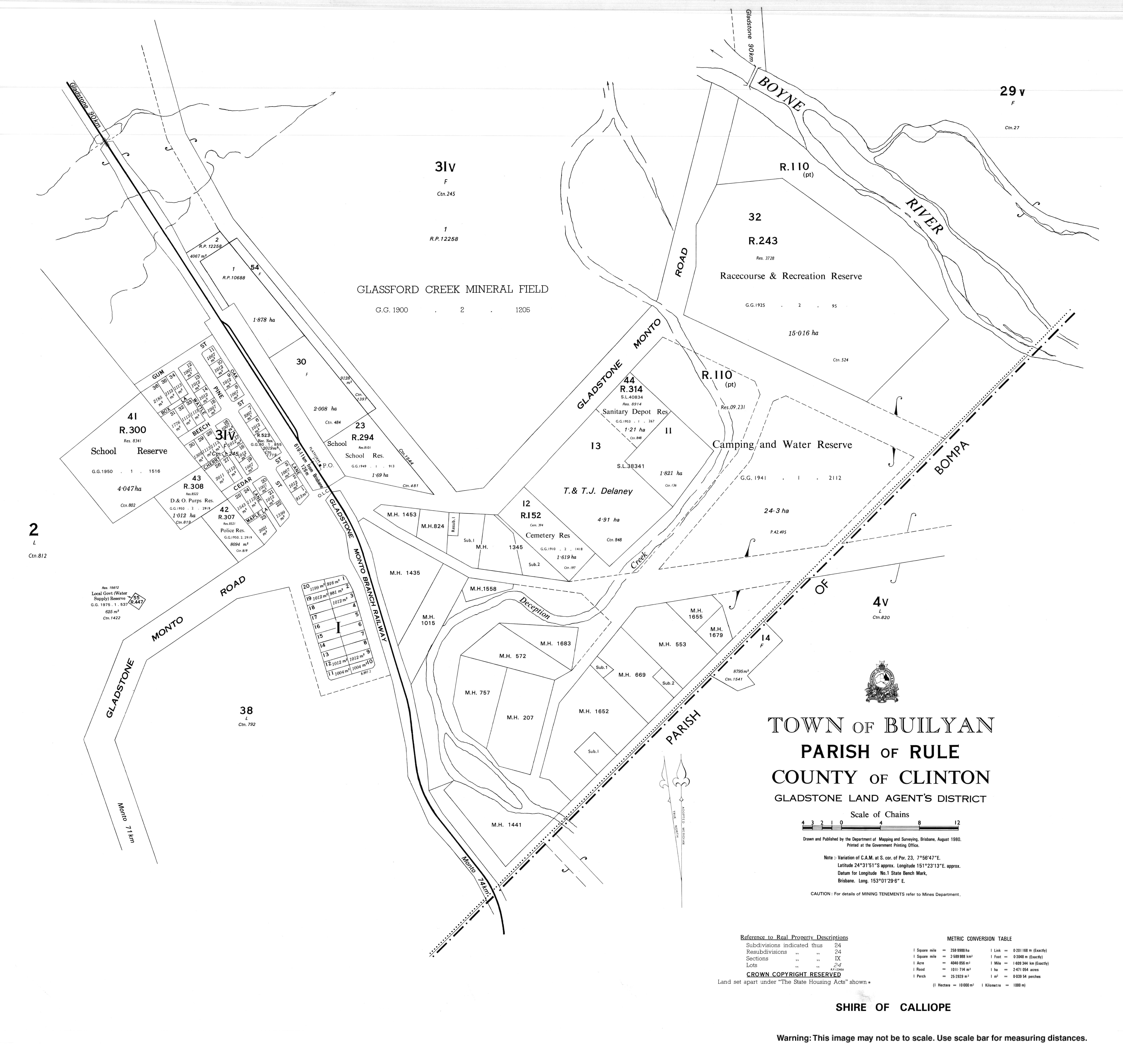
Builyan State School opened on 4 December 1922. [4]

Builyan Post Office opened on 1 July 1927 (a receiving office had been open from 1912) and closed on 13 August 1993. [5] [6]

Builyan Hall was opened in August 1950, built from local timbers with a dance floor of spotted gum. A ceremony at the hall attended by 500-600 people switched on mains electricity to the town on 30 October 1954. [7] [8]

The former Gladstone to Monto railway runs through the centre of Builyan.

Education

Builyan State School, 2023.jpg

Builyan State School is a government primary (Prep-6) school for boys and girls at Gladstone Road ( 24°31′45″S151°23′07″E / 24.5293°S 151.3854°E / -24.5293; 151.3854 (Builyan State School) ). [9] In 2017, the school had an enrolment of 8 students with 2 teachers (1 full-time equivalent) and 4 non-teaching staff (2 full-time equivalent). In 2020 the student enrolment was 7 students. [10]

There are no secondary schools in the Boyne Valley. The nearest is Miriam Vale State School which offers secondary schooling to Year 10. For Years 11 and 12, the nearest schools are Gladstone State High School, Rosedale State School and Monto State High School. [11]

Attractions

The Dawes Range Tunnel section of the Boyne Burnett Inland Rail Trail was opened on 11 September 2021. The 26.28-kilometre (16.33 mi) section starts at Barrimoon Siding, Kalpowar and finishes at Builyan, Boyne Valley. [12] This section contains 6 tunnels between Barrimoon Siding and Golembil Siding, and they are Local Heritage listed. [13] [14] Tunnel Six is the only place 100 year old rail and hogback sleepers are preserved on any of the disused rail corridors in the state. Hogback sleepers have a round top. They are hand hewn from the hard dense iron bark trees growing adjacent to the track. [15] The trail also passes the historic township of Many Peaks with its Local Heritage listed attractions - the Many Peaks Railway Complex, [16] and Many Peaks Road Bridge. [17]

While not on the rail trail, the Heritage listed Many Peaks Railway Dam is accessed by getting on to the (very low traffic) bitumen road at Many Peaks and riding back less than a kilometre. There is a new shelter shed, history information signage, toilet block and elevated lookout over the old weir. There is no drinking water available. [18] [19]

Climate data for Builyan, Gum Street 1977-2015
MonthJanFebMarAprMayJunJulAugSepOctNovDecYear
Average precipitation inches (mm)4.70
(119.5)
3.66
(93.0)
2.75
(69.9)
1.28
(32.5)
1.41
(35.7)
0.99
(25.2)
0.85
(21.7)
1.14
(29.0)
0.65
(16.6)
1.86
(47.2)
2.84
(72.1)
3.80
(96.6)
34.61
(879.1)
Source: Bureau of Meteorology

See also

Related Research Articles

<span class="mw-page-title-main">Mundubbera</span> Town in Queensland, Australia

Mundubbera is a town and a locality in the North Burnett Region, Queensland, Australia. In the 2016 census, Mundubbera had a population of 1261 people.

<span class="mw-page-title-main">Boyne Valley, Queensland</span> Suburb of Gladstone Region, Queensland, Australia

The Boyne Valley is a rural locality in Gladstone Region, Queensland, Australia. The locality contains four small towns: Nagoorin, Ubobo, Builyan, and Many Peaks. In the 2021 census, Boyne Valley had a population of 301 people.

<span class="mw-page-title-main">Ubobo</span> Town in Queensland, Australia

Ubobo is a rural town in the locality of Boyne Valley in the Gladstone Region, Queensland, Australia.

<span class="mw-page-title-main">Many Peaks, Queensland</span> Town in Queensland, Australia

Many Peaks is a town in Gladstone Region in Queensland, Australia. It is one of four small townships within the locality of Boyne Valley along with Nagoorin, Builyan and Ubobo.

<span class="mw-page-title-main">Gladstone Region</span> Local government area in Queensland, Australia

Gladstone Region is a local government area in Queensland, Australia. The council covers an area of 10,484 square kilometres (4,048 sq mi), had a resident population at August 2021 of 63,515, and has an estimated operating budget of A$84 million.

<span class="mw-page-title-main">Mungar Junction to Monto railway line</span> Former railway line in Queensland, Australia

The Mungar Junction to Monto railway line is a 267-kilometre (166 mi) railway in Queensland, Australia. Progressively opened in eleven stages between 1889 and 1928 the line branched from the North Coast line at Mungar Junction a short distance west of Maryborough and followed a westerly route towards Biggenden and Gayndah before turning north via Mundubbera and Eidsvold to Monto. It is also known as the Gayndah Monto Branch Railway. In 2012, the line was officially closed.

Byellee to Monto Branch Railway was a branch railway that branched off the Boyne Valley west of Gladstone in Queensland, Australia.The Boyne Valley region was predominantly a dairying region and a railway had little justification. However a branch was justified in 1906 on the basis of large traffic in timber, fuel, limestone and flexing ores. Progressively opened between 1910 and 1931 the line branched from the North Coast line at Byellee a short distance west of Gladstone and struck a south-westerly route via Many Peaks and Mungungo to Monto.

<span class="mw-page-title-main">Degilbo</span> Town in Queensland, Australia

Degilbo is a rural town and locality in the North Burnett Region, Queensland, Australia. In the 2021 census, the locality of Degilbo had a population of 182 people.

<span class="mw-page-title-main">Didcot, Queensland</span> Suburb of North Burnett Region, Queensland, Australia

Didcot is a rural locality in the North Burnett Region, Queensland, Australia. In the 2021 census, Didcot had a population of 85 people.

<span class="mw-page-title-main">Deep Creek Railway Bridge</span> Historic site in Queensland, Australia

Deep Creek Railway Bridge is also known as Chowey Bridge. It is a heritage-listed railway bridge on the Mungar-Monto railway line in Didcot, North Burnett Region, Queensland, Australia. It was built in 1905 by day labour. It was added to the Queensland Heritage Register on 21 October 1992.

<span class="mw-page-title-main">William Pagan (railway engineer)</span> Australian railway engineer

William Pagan (1849–1924) was a railway engineer in Queensland, Australia. He designed many railway bridges, some of which are now heritage-listed.

<span class="mw-page-title-main">Steep Rocky Creek Railway Bridge</span> Railway bridge in Queensland, Australia.

Steep Rocky Creek Railway Bridge is a heritage-listed railway bridge on the Mungar - Monto railway line at Ideraway in the North Burnett Region of Queensland, Australia. It was designed by William Pagan and built from 1906 to 1907. It was added to the Queensland Heritage Register on 21 October 1992.

<span class="mw-page-title-main">Humphery Railway Bridge</span> Historic site in Queensland, Australia

Humphery Railway Bridge is a heritage-listed railway bridge on the Mungar to Monto railway line at Humphery, North Burnett Region, Queensland, Australia. It was designed by William Pagan and built in 1913. It was added to the Queensland Heritage Register on 21 October 1992.

Boynedale is a rural locality in the Gladstone Region, Queensland, Australia. In the 2021 census, Boynedale had a population of 13 people.

<span class="mw-page-title-main">Kalpowar</span> Town in Queensland, Australia

Kalpowar is a town in the North Burnett Region and a locality split between the North Burnett Region and the Bundaberg Region, in Queensland, Australia. In the 2021 census, the locality of Kalpowar had a population of 53 people.

<span class="mw-page-title-main">Bancroft, Queensland</span> Suburb of North Burnett Region, Queensland, Australia

Bancroft is a rural locality in the North Burnett Region, Queensland, Australia. In the 2021 census, Bancroft had a population of 98 people.

Dirnbir is a rural locality in the North Burnett Region, Queensland, Australia. In the 2021 census, Dirnbir had a population of 59 people.

Mount Lawless is a rural locality in the North Burnett Region, Queensland, Australia. In the 2021 census, Mount Lawless had a population of 9 people.

Gladstone–Monto Road is a 132 kilometres (82 mi) road route in the Gladstone and North Burnett regions of Queensland, Australia. The entire route is signed as State Route 69.

The Boyne Burnett Inland Rail Trail is a recreational route for walkers, cyclists and horse riders from Taragoola to Gayndah. It uses the closed Gladstone to Monto and Mungar Junction to Monto railway corridors in Queensland, Australia.

References

  1. 1 2 "Builyan (entry 4948)". Queensland Place Names. Queensland Government . Retrieved 20 November 2016.
  2. Billing, Amy. "Local Heritage Register". Gladstone Regional Council . Builyan Cemetery. Retrieved 28 September 2022.
  3. "PUBLIC RESERVES". The Brisbane Courier . No. 16, 497. Queensland, Australia. 25 November 1910. p. 7. Retrieved 29 September 2022 via National Library of Australia.
  4. "Opening and closing dates of Queensland Schools". Queensland Government . Retrieved 18 April 2019.
  5. Premier Postal History. "Post Office List". Premier Postal Auctions. Retrieved 10 May 2014.
  6. "ParlInfo - QUESTIONS ON NOTICE : Postal Services". parlinfo.aph.gov.au. Retrieved 2 February 2022.
  7. "GLADSTONE NEWS". Morning Bulletin . No. 27, 805. Queensland, Australia. 12 August 1950. p. 8. Retrieved 10 October 2022 via National Library of Australia.
  8. "Light switched on at Builyan". Rockhampton Morning Bulletin. 1 November 1954. p. 4.
  9. "Builyan State School". Archived from the original on 26 March 2012. Retrieved 21 November 2018.
  10. "Builyan State School 2020 Annual Report" (PDF).
  11. "Queensland Globe". State of Queensland . Retrieved 1 January 2019.
  12. McLachlan, Mark (20 August 2022). "Interactive Maps, Dawes Range Section, BBIRT". Boyne Burnett Inland Rail Trail . Retrieved 28 September 2022.
  13. McLachlan, Mark (19 June 2018). "Railway Tunnels, Dawes Range between Golembil and Barrimoon sidings". Boyne Burnett Inland Rail Trail Blog. Retrieved 28 September 2022.
  14. Billing, Amy. "Local Heritage Register". Gladstone Regional Council . Many Peaks / Barrimoon Railway Tunnels. Retrieved 28 September 2022.
  15. McLachlan, Mark (17 July 2018). "Is preserving rail and hogbacks in the Boyne Burnett Tunnels and bridges along the corridor important?". Boyne Burnett Inland Rail Trail Blog. Retrieved 7 October 2022.
  16. Billing, Amy. "Local Heritage Register". Gladstone Regional Council . Many Peaks Railway Complex. Retrieved 28 September 2022.
  17. Billing, Amy. "Local Heritage Register". Gladstone Regional Council . Many Peaks Road Bridge. Retrieved 28 September 2022.
  18. Trail Guide. "Trail - Boyne Burnett Inland Rail Trail". Rail Trails Australia. Retrieved 15 October 2022.
  19. Billing, Amy. "Local Heritage Register". Gladstone Regional Council . Many Peaks Railway Dam. Retrieved 28 September 2022.

Commons-logo.svg Media related to Builyan at Wikimedia Commons