
Mundubbera is a rural town and a locality in the North Burnett Region, Queensland, Australia. In the 2021 census, the locality of Mundubbera had a population of 1,120 people.

Tannum Sands is a coastal town and locality in the Gladstone Region, Queensland, Australia. In the 2021 census, the locality of Tannum Sands had a population of 5,227 people.

Seventeen Seventy, sometimes written 1770 or Town of 1770, is a coastal town and locality in the Gladstone Region, Queensland, Australia. In the 2021 census, the locality of Seventeen Seventy had a population of 125 people.

Drayton is a rural locality in the Toowoomba Region, Queensland, Australia. In the 2021 census, Drayton had a population of 1,813 people.
Gin Gin is a rural town and locality in the Bundaberg Region, Queensland, Australia. In the 2021 census, the locality of Gin Gin had a population of 1,139 people.

Agnes Water is a coastal town and a locality in the Gladstone Region, Queensland, Australia. In the 2021 census, the locality of Agnes Water had a population of 2,729 people.

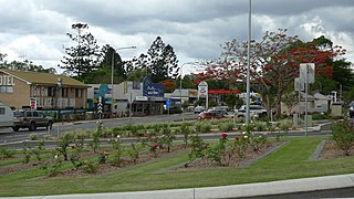
Mount Larcom is the name of a mountain, a rural town and locality in the Gladstone Region, Queensland, Australia. In the 2021 census, the locality of Mount Larcom had a population of 332 people.

Mount Perry is a rural town and locality in the North Burnett Region, Queensland, Australia. In the 2021 census, the locality of Mount Perry had a population of 487 people.

Monto is a rural town and locality in the North Burnett Region, Queensland, Australia. In the 2021 census, the locality of Monto had a population of 1,156 people.

Wondai is a rural town and locality in the South Burnett Region, Queensland, Australia. In the 2021 census, the locality of Wondai had a population of 1,975 people.

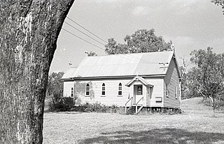
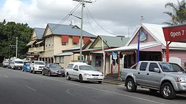
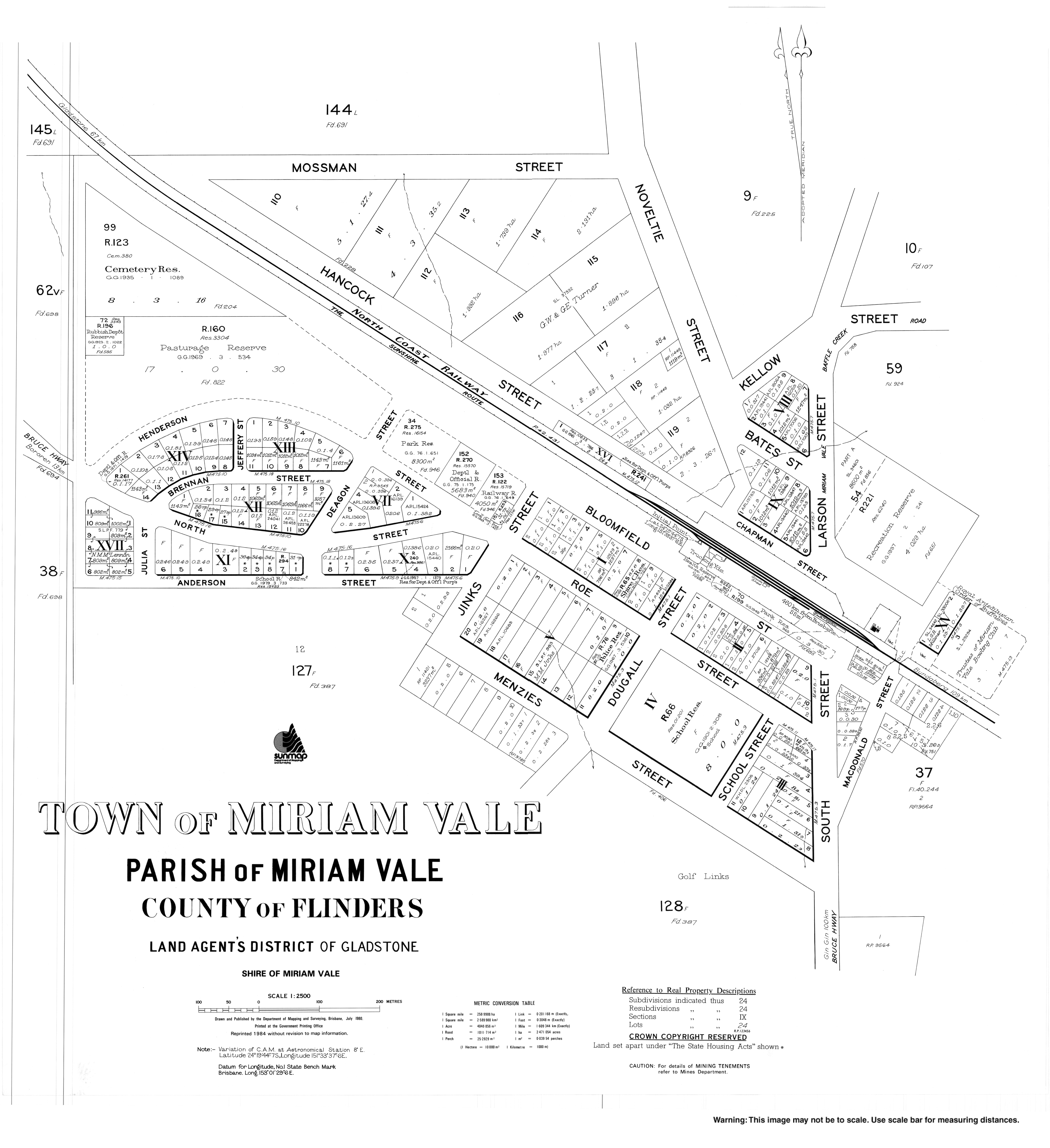
The Shire of Miriam Vale was a local government area near Gladstone in Queensland, Australia. The administrative centre was the town of Miriam Vale.

Boyne Island is a coastal town and locality in the Gladstone Region, Queensland, Australia. In the 2021 census, the locality of Boyne Island had a population of 4,835 people.
Cecil Plains is a rural town and locality in the Toowoomba Region, Queensland, Australia. In the 2021 census, the locality of Cecil Plains had a population of 380 people.
Turkey Beach is a coastal town and locality in the Gladstone Region, Queensland, Australia. In the 2021 census, the locality of Turkey Beach had a population of 148 people.
North Toowoomba is a suburban locality in Toowoomba in the Toowoomba Region, Queensland, Australia. In the 2021 census, North Toowoomba had a population of 3,332 people.
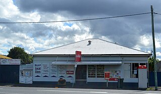
Bororen is a rural town and locality in the Gladstone Region, Queensland, Australia. In the 2021 census, the locality of Bororen had a population of 399 people.
Colosseum is a rural locality in the Gladstone Region, Queensland, Australia. In the 2021 census, Colosseum had a population of 184 people.
Rodds Bay is a coastal locality in the Gladstone Region, Queensland, Australia. In the 2021 census, Rodds Bay had a population of 133 people.
Round Hill is a rural locality in the Gladstone Region, Queensland, Australia. In the 2021 census, Round Hill had a population of 189 people.
Taunton is a rural locality in the Gladstone Region, Queensland, Australia. In the 2021 census, Taunton had a population of 57 people.


