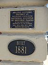
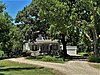
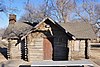
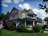
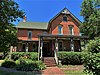
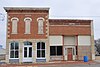
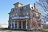
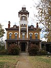
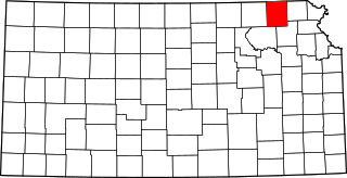
This is intended to be a complete list of the properties and districts on the National Register of Historic Places in Dickinson County, Kansas, United States. Latitude and longitude coordinates are provided for many National Register properties and districts; these locations may be seen together in a map.[1]
There are 46 properties and districts listed on the National Register in the county, including 1 National Historic Landmark. Another 4 properties were once listed but have been removed.
List of the National Register of Historic Places listings in Schenectady County, New York
This is a list of sites listed on the National Register of Historic Places in Cambridge, Massachusetts. This is intended to be a complete list of the properties and districts on the National Register of Historic Places in Cambridge, Massachusetts, United States. Latitude and longitude coordinates are provided for many National Register properties and districts; these locations may be seen together in an online map.
This is a list of the National Register of Historic Places listings in Travis County, Texas.
This is a list of the National Register of Historic Places listings in Dallas County, Texas.
This is a list of the National Register of Historic Places listings in Doniphan County, Kansas.
This is a list of the National Register of Historic Places listings in Harvey County, Kansas.
This is a list of the National Register of Historic Places listings in Douglas County, Kansas.
This is a list of the National Register of Historic Places listings in Morris County, Kansas.
This is a list of the National Register of Historic Places listings in Sedgwick County, Kansas.
This is a list of the National Register of Historic Places listings in Johnson County, Kansas.
This is a list of the National Register of Historic Places listings in Reno County, Kansas.
This is a list of the National Register of Historic Places listings in Nemaha County, Kansas.
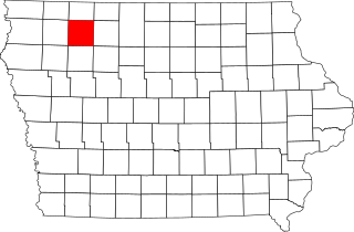
This is a list of the National Register of Historic Places listings in Dickinson County, Iowa.
This is a list of the National Register of Historic Places listings in Cloud County, Kansas.
This is a list of the National Register of Historic Places listings in Wabaunsee County, Kansas.
This is a list of the National Register of Historic Places listings in Jackson County, Missouri.
This is a list of the National Register of Historic Places listings in Wichita County, Texas.
This is a list of the National Register of Historic Places listings in Chariton County, Missouri.
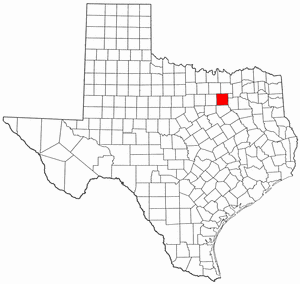
This is a list of the National Register of Historic Places listings in Taylor County, Texas.
This is a list of the National Register of Historic Places listings in Clay County, Iowa.
References
↑ The latitude and longitude information provided in this table was derived originally from the National Register Information System, which has been found to be fairly accurate for about 99% of listings. Some locations in this table may have been corrected to current GPS standards.
1 2 Numbers represent an alphabetical ordering by significant words. Various colorings, defined here, differentiate National Historic Landmarks and historic districts from other NRHP buildings, structures, sites or objects.
↑ The eight-digit number below each date is the number assigned to each location in the National Register Information System database, which can be viewed by clicking the number.
This page is based on this Wikipedia article Text is available under the CC BY-SA 4.0 license; additional terms may apply. Images, videos and audio are available under their respective licenses.