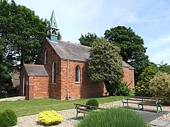
Burwell is a small village and Civil parish in the East Lindsey district of Lincolnshire, England. It is situated on the A16 road, and north from Spilsby. The village covers approximately 2200 acres (9 km²).

Eastville, a village in the East Lindsey district of Lincolnshire, England. It is situated approximately 9 miles (14 km) north-east from Boston and 6 miles (10 km) south from Spilsby.

Stickney is a linear village and civil parish in the East Lindsey district of Lincolnshire, England. It was an ancient parish in Lincoln County. Its population has increased since late 20th-century immigration and is 1127 as of 2011.

Swineshead is a village and civil parish in Lincolnshire, England, approximately 7 miles (11 km) west of the town of Boston. The population of the civil parish including Baythorpe was 2,810 at the 2011 census. The parish includes the areas of Swineshead Bridge and North End to the north, Fenhouses and Blackjack to the east, and Drayton to the south.

Old Leake is a village and civil parish in Lincolnshire, England. The population of the civil parish at the 2011 census was 2,022.

Amber Hill is a village and civil parish in Lincolnshire, England, approximately 6 miles (10 km) west-north-west from Boston. The 2001 Census measured its population at 268, increasing to 294 at the 2011 census.

Kirmington is a village in North Lincolnshire, England. It is part of the civil parish of Kirmington and Croxton. From the 2011 census the village became a civil parish in its own name. Kirmington is situated just north from the A18 road, 5 miles (8 km) west from Immingham and 7 miles (11 km) east from Brigg. Less than 1 mile (1.6 km) to the west is Humberside International Airport, the former Second World War station, RAF Kirmington.

Hogsthorpe is a small village in the East Lindsey district of Lincolnshire, England. It is situated approximately 2 miles (3 km) from the North Sea and Chapel St Leonards, and about 7 miles (11 km) north from Skegness. Through Hogsthorpe runs the A52, the main road connecting the village to the nearby resorts of Skegness, Mablethorpe and Ingoldmells.

Saleby is a village in the civil parish of Beesby with Saleby, in the East Lindsey district of Lincolnshire, England. It is on the Alford road to Louth, about 2 miles (3 km) north-east of Alford and 11 miles (18 km) south-east of Louth. The hamlet of Thoresthorpe is about 1 mile (1.6 km) south of the village.

Orby is a village and civil parish in the East Lindsey district of Lincolnshire, England. It is situated approximately 9 miles (14 km) east from the town of Spilsby, and 5 miles (8 km) west from the seaside resort of Skegness. The civil parish includes the hamlet of Habertoft, 1.5 miles (2.4 km) to the north-west. Orby lies within the Lincolnshire coast marshes.

Heckington is a village and civil parish in the North Kesteven district of Lincolnshire, England. It is situated between Sleaford and Swineshead Bridge, and south of the A17 road. Heckington, with 1,491 households, is one of the largest villages in Lincolnshire.. The population of the civil parish including Boughton was 3,353 at the 2011 census.

Sibsey is a village, civil parish and electoral ward in the East Lindsey district of Lincolnshire, England. It is situated at the junction of the A16 and B1184 roads, 4 miles (6.4 km) north from Boston. Sibsey Northlands is to the north of the village. The Prime Meridian passes just to the west of Sibsey, crossing the Stone Bridge Drain canal. At the 2001 census, Sibsey had a population of 1,996, reducing to 1,979 at the 2011 Census.

Mareham le Fen is a village and civil parish about 6 miles (10 km) south from the town of Horncastle, Lincolnshire, England. The hamlet of Mareham Gate lies about 0.5 miles (0.8 km) south from the village, and it is believed that the deserted medieval village (DMV) of Birkwood is situated nearby.
North Kyme is a village and civil parish in the North Kesteven district of Lincolnshire, England. The civil parish had a population of 431 at the 2011 census. It is situated on the A153 road, and 16 miles (26 km) south-east from the city and county town of Lincoln.

The North Forty Foot Bank is a settlement which runs about 6 miles (10 km) along the North Forty Foot Drain, about five to nine miles north-west of Boston Lincolnshire, England. It begins just south of the parish of Chapel Hill and runs along the drain to Toft Tunnel, just north of Hubberts Bridge. Despite its length, it only consists of the area on the north side of the drain, which was built in 1720 by Earl Fitzwilliam. The North Forty Foot Bank forms the boundary between Harts Grounds and Pelhams Lands.

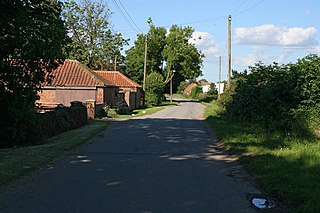
Kirton Holme is a village in Lincolnshire, England. It is situated within Kirton civil parish, and approximately 4 miles (6 km) west from the town of Boston.
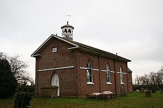
Carrington is a village and civil parish in the East Lindsey district of Lincolnshire, England. It is situated approximately 7 miles (11 km) north from the market town of Boston.

Great Steeping is a village and civil parish in the East Lindsey district of Lincolnshire, England. It is situated approximately 3 miles (5 km) from Spilsby. The parish includes the hamlet of Monksthorpe.

Toynton All Saints is a village and civil parish in the East Lindsey district of Lincolnshire, England, about 1.5 miles (2.4 km) south of the town of Spilsby.
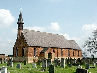
Gayton le Marsh is a village and civil parish in the East Lindsey district of Lincolnshire, England It is situated 6 miles (9.7 km) south-east from the town of Louth and about 6 miles (9.7 km) north from Alford. The population of the civil parish was 155 at the 2011 census.