Riverview | |
|---|---|
 Riverview Neighborhood at its northern end, where the Chain of Rocks Bridge enters Missouri. | |
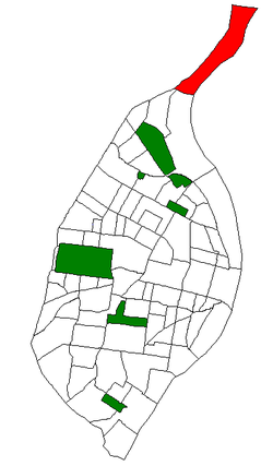 Location (red) of Riverview within St. Louis | |
| Country | United States |
| State | Missouri |
| City | St. Louis |
| Wards | 13 |
| Government | |
| • Aldermen | Pam Boyd |
| Area | |
• Total | 3.5 km2 (1.34 sq mi) |
| Population (2020) [1] | |
• Total | 242 |
| • Density | 69.7/km2 (181/sq mi) |
| ZIP code(s) | Part of 63137 |
| Area code(s) | 314 |
| Website | stlouis-mo.gov |
Riverview is a neighborhood of St. Louis, Missouri. Riverview comprises the extreme northern section of the city, bounded by the Mississippi River to the east, the city limits to the west, and Chain of Rocks Road to the south, with the northern boundary lying a third of a mile north of I-270. [2] The only major road running through the neighborhood is Riverview Drive.