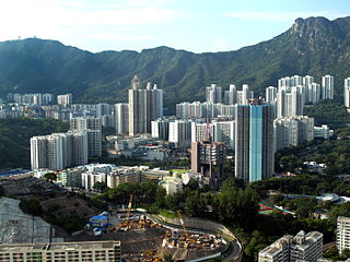
Tsing Yi, sometimes referred to as Tsing Yi Island, is an island in the urban area of Hong Kong, to the northwest of Hong Kong Island and south of Tsuen Wan. With an area of 10.69 km2 (4.13 sq mi), the island has been extended drastically by reclamation along almost all its natural shore and the annexation of Nga Ying Chau (牙鷹洲) and Chau Tsai. Three major bays or harbours, Tsing Yi Lagoon, Mun Tsai Tong and Tsing Yi Bay (青衣灣) in the northeast, have been completely reclaimed for new towns.

Wong Tai Sin District is one of the 18 districts of Hong Kong. It is the only landlocked district in Hong Kong. It is located in Kowloon, and is the northernmost district in Kowloon. It borders the districts of Kwun Tong to its southeast, Kowloon City to its southwest, Sai Kung to its east, and Sha Tin to its north.
Hong Kong counts approximately 600 temples, shrines and monasteries. While Buddhism and Christianity are the most widely practiced religions, most religions are represented in the Special Administrative Region.

Tung Chung, meaning "eastern stream", is an area on the northwestern coast of Lantau Island, Hong Kong. One of the most recent new towns, it was formerly a rural fishing village beside Tung Chung Bay, and along the delta and lower courses of Tung Chung River and Ma Wan Chung in the north-western coast of Lantau Island. The area was once an important defence stronghold against pirates and foreign military during the Ming and the Qing dynasties.

Tai Wai is an area in the New Territories, Hong Kong, located between Sha Tin and the Lion Rock, within the Sha Tin District.

Lung Cheung Road is a major road in New Kowloon, Hong Kong. It forms part of Route 7 linking Kwun Tong Road at Ngau Chi Wan and Ching Cheung Road near Tai Wo Ping. It is a dual 3-lane carriageway running in the east-west direction for its entire length.

Tsing Lung Tau is a coastal residential area in the southwest coast of the New Territories in Hong Kong.

Chuk Yuen or Chuk Un was a village and an area in New Kowloon of Hong Kong. The area located in the approximate area of present-day Wong Tai Sin. The name now also refers to two public housing estates, Chuk Yuen North and Chuk Yuen South Estates.

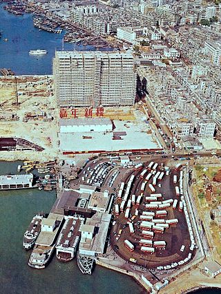
Jordan Road Ferry Pier or Ferry Point (1924–1998) is a demolished pier originally located at Jordan Road, Jordan, Hong Kong.
Articles related to Hong Kong include:

Lok Fu is a place in Wong Tai Sin District, Kowloon, Hong Kong. It is located to the east of Kowloon Tsai, the west of Wong Tai Sin and the north of Kowloon City. It geographically includes nearby Wang Tau Hom.

Yuen Long Kau Hui is an area in Yuen Long, Yuen Long District, in the western New Territories of Hong Kong.

Chuk Yuen Estate is a public housing estate in Kowloon, Hong Kong, located north of Wong Tai Sin and underneath Lion Rock. Its site was formerly the Chuk Yuen Resettlement Area.

The following is a list of public housing estates in Wong Tai Sin, Kowloon, Hong Kong including Home Ownership Scheme (HOS), Private Sector Participation Scheme (PSPS), Sandwich Class Housing Scheme (SCHS), Flat-for-Sale Scheme (FFSS), and Tenants Purchase Scheme (TPS) estates.

Upper Wong Tai Sin Estate is a public housing estate in Wong Tai Sin, Kowloon, Hong Kong, along the north of Lung Cheung Road, near Wong Tai Sin Temple and MTR Wong Tai Sin station. It consists of eight blocks built in 2000 and 2009 respectively, and it is now undergoing redevelopment.

Lower Wong Tai Sin Estate is a public housing estate and Tenants Purchase Scheme estate in Wong Tai Sin, Kowloon, Hong Kong, along the south of Lung Cheung Road, near Wong Tai Sin Temple and MTR Wong Tai Sin station. It is divided into Lower Wong Tai Sin (I) Estate and Lower Wong Tai Sin (II) Estate. After redevelopment, the estate consists of a total of 24 blocks built between the 1980s and 1990s.


