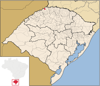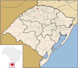
Barra do Guarita is a municipality in the state of Rio Grande do Sul, Brazil. As of 2020, the estimated population was 3,257.
Boa Vista das Missões is a municipality in the state of Rio Grande do Sul, Brazil. As of 2020, the estimated population was 2,092.

Braga is a municipality in the state of Rio Grande do Sul, Brazil. As of 2020, the estimated population was 3,311.
Chiapetta is a municipality in the state of Rio Grande do Sul, Brazil. As of 2020, the estimated population was 3,719.
Coronel Bicaco is a municipality in the state of Rio Grande do Sul, Brazil. As of 2020, the estimated population was 7,268.
Cristal do Sul is a municipality in the state of Rio Grande do Sul, Brazil. As of 2020, the estimated population is 2,844.
Dois Irmãos das Missões is a municipality in the state of Rio Grande do Sul, Brazil. As of 2020, the estimated population was 2,008.

Esperança do Sul is a municipality in the state of Rio Grande do Sul, Brazil. As of 2020, the estimated population was 2,885.
Jaboticaba is a municipality in the state of Rio Grande do Sul, Brazil. As of 2020, the estimated population was 3,773.
Lajeado do Bugre is a municipality in the state of Rio Grande do Sul, Brazil. As of 2020, the estimated population was 2,566.

Miraguaí is a municipality in the state of Rio Grande do Sul, Brazil. As of 2020, the estimated population was 4,911.

Palmeira das Missões is a municipality in the state of Rio Grande do Sul, Brazil. As of 2020, the estimated population was 33,131.
Palmitinho is a municipality in the state of Rio Grande do Sul, Brazil. As of 2020, the estimated population was 7,056.
Pinheirinho do Vale is a municipality in the state of Rio Grande do Sul, Brazil. As of 2020, the estimated population was 4,899.

Planalto is a municipality in the state of Rio Grande do Sul, Brazil, located at 27°19′44″S53°03′31″W, at an elevation of 568 meters above sea level. It has a total area of 237.35 km2. Its estimated population in 2020 was 10,019 inhabitants.
Seberi is a municipality in the state of Rio Grande do Sul, Brazil. As of 2020, the estimated population was 10,713.
Taquaruçu do Sul is a municipality in the state of Rio Grande do Sul, Brazil. As of 2020, the estimated population was 3,077.

São Martinho is a municipality in the state of Rio Grande do Sul, Brazil. As of 2020, the estimated population was 5,380.
São Valério do Sul is a municipality in the state of Rio Grande do Sul, Brazil. As of 2020, the estimated population was 2,729.
Vicente Dutra is a municipality in the state of Rio Grande do Sul, Brazil. As of 2020, the estimated population was 4,599.


