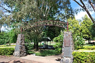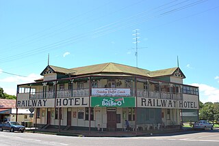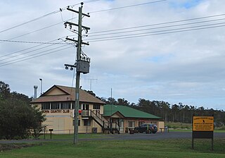
Kenilworth is a rural town and locality in the Sunshine Coast Region, Queensland, Australia. In the 2016 census, the locality of Kenilworth had a population of 558 people.

Landsborough is a town and a locality in the Sunshine Coast Region, Queensland, Australia. At the 2021 census, Landsborough had a population of 4,446 people.

Kandanga is a town and a locality in the Gympie Region, Queensland, Australia. In the 2016 census, the locality of Kandanga had a population of 665 people.
Kandanga Creek is a rural locality in the Gympie Region, Queensland, Australia. In the 2016 census, Kandanga Creek had a population of 118 people.

Linville is a rural town and locality in the Somerset Region, Queensland, Australia. In the 2016 census, Linville had a population of 156 people.
Carters Ridge is a rural locality in the Gympie Region, Queensland, Australia. In the 2016 census, Carters Ridge had a population of 469 people.

Monkland is a rural locality in the Gympie Region, Queensland, Australia. In the 2016 census Monkland had a population of 1,125 people.

Imbil is a rural town and locality in the Gympie Region, Queensland, Australia. In the 2016 census, Imbil had a population of 924 people.

Amamoor is a rural town and locality in the Gympie Region, Queensland, Australia. In the 2016 census the locality of Amamoor had a population of 636 people.
Dagun is a rural town and locality in the Gympie Region, Queensland, Australia. In the 2016 census, the locality of Dagun had a population of 150 people.

Curra is a rural residential locality in the Gympie Region, Queensland, Australia. In the 2016 census, Curra had a population of 1,920 people.

Miva is a locality split between the Gympie Region and the Fraser Coast Region in Queensland, Australia. > In the 2016 census Miva had a population of 57 people.

Traveston is a rural town and locality in the Gympie Region, Queensland, Australia. In the 2016 census the locality of Traveston had a population of 480 people.
Melawondi is a rural locality in the Gympie Region, Queensland, Australia. It is located 20 kilometres (12 mi) south of Gympie. In the 2016 census Melawondi had a population of 30 people.

Imbil Railway Bridge is a heritage-listed railway bridge over Yabba Creek, Imbil, Gympie Region, Queensland, Australia. It was built circa 1915 by Queensland Railways to facilitate settlement in the Mary River Valley. It was added to the Queensland Heritage Register on 14 October 2011.

Cinnabar is a rural locality in the Gympie Region, Queensland, Australia. In the 2016 census, Cinnabar had a population of 72 people.
Lake Borumba is a rural locality in the Gympie Region, Queensland, Australia. In the 2016 census Lake Borumba had a population of 6 people.

Bella Creek is a rural locality in the Gympie Region, Queensland, Australia. In the 2016 census Bella Creek had a population of 43 people.
Bollier is a rural locality in the Gympie Region, Queensland, Australia. In the 2016 census Bollier had a population of 200 people.
Gympie–Brooloo–Kenilworth Road is a continuous 51.6 kilometres (32.1 mi) road route in the Gympie and Sunshine Coast regions of Queensland, Australia. It has two official names, Gympie–Brooloo Road and Kenilworth–Brooloo Road. The entire route is signed as State Route 51.


