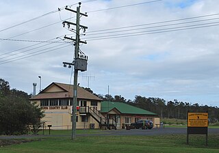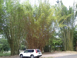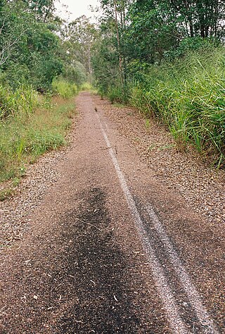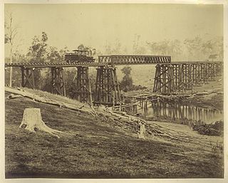
Kilkivan is a town and locality in the Gympie Region of Queensland, Australia. In the 2021 census, the locality of Kilkivan had a population of 689 people.

Goomeri is a rural town and locality in the Gympie Region, Queensland, Australia. In the 2021 census, the locality of Goomeri had a population of 677 people.
Araluen is a residential locality in Gympie in the Gympie Region, Queensland, Australia. In the 2021 census, Araluen had a population of 649 people.

Theebine is a rural town and locality split between the Gympie Region and the Fraser Coast Region, both in Queensland, Australia.

Gunalda is a rural town in the Gympie Region and a locality split between Gympie Region and Fraser Coast Region in Queensland, Australia. In the 2021 census, the locality of Gunalda had a population of 426 people.

Woolooga is a rural town and locality in the Gympie Region, Queensland, Australia. In the 2021 census, the locality of Woolooga had a population of 310 people.

Curra is a rural residential locality in the Gympie Region, Queensland, Australia. In the 2021 census, Curra had a population of 2,104 people.

Tinana is a rural town and locality in the Fraser Coast Region, Queensland, Australia. In the 2021 census, the locality of Tinana had a population of 5,872 people.

Torbanlea is a rural town and locality in the Fraser Coast Region, Queensland, Australia. In the 2021 census, the locality of Torbanlea had a population of 841 people.
Owanyilla is a rural town and locality in the Fraser Coast Region, Queensland, Australia. In the 2021 census, the locality of Owanyilla had a population of 245 people.

Dallarnil is a rural town and locality in the North Burnett Region, Queensland, Australia. In the 2021 census, the locality of Dallarnil had a population of 245 people.
Granville is a rural locality in the Fraser Coast Region, Queensland, Australia. It is a suburb of Maryborough. In the 2021 census, Granville had a population of 2,532 people.

Kinbombi is a rural town and locality in the Gympie Region, Queensland, Australia. In the 2021 census, the locality of Kinbombi had a population of 34 people.
Manyung is a rural locality split between the Gympie Region and the South Burnett Region, Queensland, Australia. In the 2021 census, Manyung had a population of 83 people.

Munna Creek is a locality split between the Fraser Coast Region and the Gympie Region, in Queensland, Australia. In the 2021 census, Munna Creek had a population of 22 people.

Tansey is a rural town and locality in the Gympie Region, Queensland, Australia. In the 2021 census, the locality of Tansey had a population of 154 people.

Gootchie is a rural locality in the Fraser Coast Region, Queensland, Australia. In the 2021 census, Gootchie had a population of 96 people.
Gungaloon is a locality in the Fraser Coast Region, Queensland, Australia. In the 2021 census, Gungaloon had a population of 27 people.

Grahams Creek is a rural locality in the Fraser Coast Region, Queensland, Australia. In the 2021 census, Grahams Creek had a population of 149 people.
Paterson is a rural locality in the Fraser Coast Region, Queensland, Australia. In the 2021 census, Paterson had a population of 157 people.


