
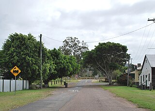
Tiaro is a rural town and locality in the Fraser Coast Region, Queensland, Australia. In the 2021 census, the locality of Tiaro had a population of 778 people.

The Shire of Tiaro was a local government area in the Wide Bay–Burnett region of Queensland, Australia, between the regional cities of Gympie and Hervey Bay about 220 kilometres (137 mi) north of the state capital, Brisbane. The shire covered an area of 2,185.3 square kilometres (843.7 sq mi), and existed as a local government area from 1879 until 2008, when it was dissolved and split between two new local government areas, the Gympie Region and the Fraser Coast Region.
Woocoo is a rural locality in the Fraser Coast Region, Queensland, Australia. In the 2021 census, Woocoo had a population of 56 people.

Brooweena is a rural town and locality in the Fraser Coast Region, Queensland, Australia. In the 2021 census, the locality of Brooweena had a population of 91 people.
Gundiah is a rural town and locality in the Fraser Coast Region, Queensland, Australia. In the 2021 census, the locality of Gundiah had a population of 89 people.
Glenwood is a locality split between the Fraser Coast Region and the Gympie Region in Queensland, Australia. In the 2021 census, the locality of Glenwood had a population of 2,137 people.

Bauple is a rural town and locality in the Fraser Coast Region, Queensland, Australia. In the 2021 census, the locality of Bauple had a population of 745 people.
Owanyilla is a rural town and locality in the Fraser Coast Region, Queensland, Australia. In the 2021 census, the locality of Owanyilla had a population of 245 people.
Kanigan is a rural locality split between the Fraser Coast Region and the Gympie Region, both in Queensland, Australia. In the 2021 census, Kanigan had a population of 143 people.
Pioneers Rest is a rural locality in the Fraser Coast Region, Queensland, Australia. In the 2021 census, Pioneers Rest had a population of 78 people.
Poona is a coastal town and locality in the Fraser Coast Region, Queensland, Australia. In the 2021 census, the locality of Poona had a population of 576 people.
Yerra is a rural locality in the Fraser Coast Region, Queensland, Australia. In the 2021 census, Yerra had a population of 110 people.
Sexton is a rural locality in the Gympie Region, Queensland, Australia. In the 2021 census, Sexton had a population of 187 people.
Gootchie is a rural locality in the Fraser Coast Region, Queensland, Australia. In the 2021 census, Gootchie had a population of 96 people.
Tuan is a coastal rural town and locality in the Fraser Coast Region, Queensland, Australia. In the 2021 census, the locality of Tuan had a population of 140 people.

Teddington is a rural locality in the Fraser Coast Region, Queensland, Australia. In the 2021 census, Teddington had a population of 236 people.
Netherby is a rural locality in the Fraser Coast Region, Queensland, Australia. In the 2021 census, Netherby had a population of 25 people.
Doongul is a rural locality in the Fraser Coast Region, Queensland, Australia. In the 2021 census, Doongul had a population of 35 people.
Gungaloon is a locality in the Fraser Coast Region, Queensland, Australia. In the 2021 census, Gungaloon had a population of 27 people.
Dunmora is a rural locality in the Fraser Coast Region, Queensland, Australia. In the 2021 census, Dunmora had a population of 281 people.
