Chesterton Range is a national park in South West Queensland, Australia, 585 km west of Brisbane. It is located north east of Morven in both the locality of Redford in the Maranoa Region and in Tyrconnel in the Shire of Murweh. It lies in the water catchment areas of three waterways. These are the Warrego River, Wallam Creek and the Maranoa River. The park protects part of Brigalow Belt South bioregion. To the north and to the west of the park is Orkadilla State Forest.

Roma is a town, locality and the administrative centre in the Maranoa Region, Queensland, Australia. The town was incorporated in 1867 and is named after Lady Diamantina Bowen, the wife of Sir George Bowen, the Governor of Queensland at the time. At the 2016 census, Roma had a population of 6,848.

Wallumbilla is a town and locality in the Maranoa Region, Queensland, Australia. In the 2016 census, Wallumbilla had a population of 388 people for the locality with 191 people living in the town itself.

Mitchell is a town and locality in the Western Downs district of Maranoa Region, Queensland, Australia. The town services the local area, a cattle and sheep farming district. In the 2016 census, Mitchell had a population of 1031 people.

Yuleba is a rural town and locality in the Maranoa Region, in the south-west of Queensland, Australia. In the 2016 census, Yuleba had a population of 207 people.

Charlton is a rural locality in the Toowoomba Region, Queensland, Australia, located 13 kilometres (8 mi) west from the Toowoomba city centre off the Warrego Highway. In the 2016 census, Charlton had a population of 120 people.

Hodgson Vale is a rural locality in the Toowoomba Region, Queensland, Australia. In the 2016 census, Hodgson Vale had a population of 1,379 people.

Allan is a rural locality in the Southern Downs Region, Queensland, Australia. In the 2016 census, Allan had a population of 87 people.

Mount Abundance Homestead is a heritage-listed homestead on the Warrego Highway, Bungil near Roma, Maranoa Region, Queensland, Australia. It was built from c. 1860 to 1923. It was added to the Queensland Heritage Register on 21 October 1992.

Bungeworgorai is a locality in the Maranoa Region, Queensland, Australia.

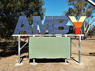
Amby is a rural town and locality in the Maranoa Region, Queensland, Australia. In the 2016 census, Amby had a population of 86 people.

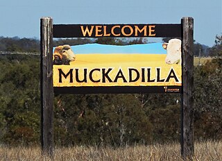
Muckadilla is a town and locality in the Maranoa Region, Queensland, Australia.

Gowrie Mountain is a locality in the Toowoomba Region, Queensland, Australia. In the 2016 census, Gowrie Mountain had a population of 224 people.

Orange Hill is a rural locality in the Maranoa Region, Queensland, Australia. In the 2016 census, Orange Hill had a population of 201 people.

Balberra is a coastal locality in the Mackay Region, Queensland, Australia. In the 2016 census, Balberra had a population of 457 people.

Baffle West is a rural locality in the Maranoa Region, Queensland, Australia. In the 2016 census, Baffle West had a population of 10 people.

Dargal Road is a rural locality in the Maranoa Region, Queensland, Australia. In the 2016 census, Dargal Road had a population of 152 people.

Eurella is a locality in the Maranoa Region, Queensland, Australia. In the 2016 census, Eurella had a population of 11 people.

Woowoonga is a locality in the North Burnett Region, Queensland, Australia. In the 2016 census, Woowoonga had a population of 92 people.

Blythdale is a rural town and locality in the Maranoa Region, Queensland, Australia. In the 2016 census, Blythdale had a population of 39 people.


