Wycombe, Queensland

Last updated

Wycombe
Queensland
Australia Queensland location map.svg
Red pog.svg
Wycombe
Coordinates 27°30′37″S148°36′54″E / 27.5102°S 148.615°E / -27.5102; 148.615 (Wycombe (centre of locality))
Population36 (2016 census) [1]
 • Density0.0369/km2 (0.0956/sq mi)
Postcode(s) 4455
Area975.5 km2 (376.6 sq mi)
Time zone AEST (UTC+10:00)
LGA(s) Maranoa Region
State electorate(s) Warrego
Federal division(s) Maranoa
Suburbs around Wycombe:
Begonia Ballaroo Ballaroo
Begonia Wycombe Wellesley
St George St George St George

Wycombe is a rural locality in the Maranoa Region, Queensland, Australia. [2] In the 2016 census, Wycombe had a population of 36 people. [1]

Contents

History

The locality name derives from a pastoral run name, named by pastoralist John Beckett after his birthplace in High Wycombe, Buckinghamshire, England. [2]

Whycombe Provisional School and Waroo Provisional School both opened in 1902 as a half-time provisional schools in conjunction (meaning the schools shared a single teacher). [3] Whycombe Provisional School closed in 1907 and Warroo Provisional School became a full-time school, but then closed too circa 1910. [4]

Wycombe State School opened on 26 February 1979 on Dilqui Road ( 27°33′00″S148°37′14″E / 27.5501°S 148.6206°E / -27.5501; 148.6206 (Wycombe State School (former)) ). [4] It was mothballed on 31 December 2008 and closed on 31 December 2009. [5] [6] The school's website was archived. [7]

In the 2016 census, Wycombe had a population of 36 people. [1]

Education

There are no schools in Wycombe. The nearest government primary school is Begonia State School in neighbouring Begonia to the west. The nearest government secondary school is St George State High School in neighbouring St George to the south, but the distances involved are sufficiently large that distance education and boarding school are other alternatives. [8]

Related Research Articles

<span class="mw-page-title-main">Ballaroo, Queensland</span> Suburb of Maranoa Region, Queensland, Australia

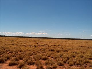
Ballaroo is a semi-arid rural locality in the Maranoa Region, Queensland, Australia. In the 2021 census, Ballaroo had a population of 51 people.

<span class="mw-page-title-main">Amby, Queensland</span> Town in Queensland, Australia

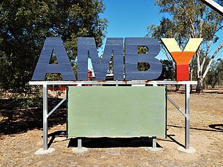
Amby is a rural town and locality in the Maranoa Region, Queensland, Australia. In the 2016 census, the locality of Amby had a population of 86 people.

<span class="mw-page-title-main">Muckadilla, Queensland</span> Suburb of Maranoa Region, Queensland, Australia

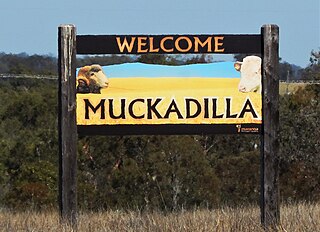
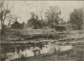
Muckadilla is a rural town and locality in the Maranoa Region, Queensland, Australia. In the 2016 census, the locality of Muckadilla had a population of 58 people.

Daymar is a rural town and locality in the Goondiwindi Region, Queensland, Australia. In the 2016 census, the locality of Daymar had a population of 37 people.

Mount Ossa is a rural town and a coastal locality in the Mackay Region, Queensland, Australia. In the 2016 census, the locality of Mount Ossa had a population of 224 people.

<span class="mw-page-title-main">Begonia, Queensland</span> Suburb of Maranoa Region, Queensland, Australia

Begonia is a rural locality in the Maranoa Region, Queensland, Australia. In the 2016 census Begonia had a population of 50 people.

Wallumbilla North is a rural locality in the Maranoa Region, Queensland, Australia. In the 2016 census, Wallumbilla North had a population of 147 people.

Euthulla is a rural locality in the Maranoa Region, Queensland, Australia. In the 2016 census, Euthulla had a population of 370 people.

Gunnewin is a rural locality in the Maranoa Region, Queensland, Australia. In the 2016 census Gunnewin had a population of 59 people.

<span class="mw-page-title-main">Hodgson, Queensland</span> Town in Queensland, Australia

Hodgson is a rural town and locality in the Maranoa Region, Queensland, Australia. In the 2016 census, the locality of Hodgson had a population of 61 people.

Mooga is a rural locality in the Maranoa Region, Queensland, Australia. In the 2016 census Mooga had a population of 17 people.

Pickanjinnie is a rural locality in the Maranoa Region, Queensland, Australia. In the 2016 census, Pickanjinnie had a population of 49 people.

Dows Creek is a rural locality in the Mackay Region, Queensland, Australia. In the 2016 census, Dows Creek had a population of 136 people.

<span class="mw-page-title-main">Warkon</span> Suburb of Maranoa Region, Queensland, Australia

Warkon is a rural locality in the Maranoa Region, Queensland, Australia. In the 2016 census, Warkon had a population of 33 people.

Bungil is a locality in the Maranoa Region, Queensland, Australia. In the 2021 census, Bungil had a population of 69 people.

Dargal Road is a rural locality in the Maranoa Region, Queensland, Australia. In the 2016 census, Dargal Road had a population of 152 people.

Eurella is a rural locality in the Maranoa Region, Queensland, Australia. In the 2016 census, Eurella had a population of 11 people.

<span class="mw-page-title-main">Forestvale, Queensland</span> Suburb of Maranoa Region, Queensland, Australia

Forestvale is a rural locality in the Maranoa Region, Queensland, Australia. In the 2021 census, Forestvale had a population of 47 people.

Jackson South is a rural locality in the Maranoa Region, Queensland, Australia. In the 2021 census, Jackson South had a population of 17 people.

<span class="mw-page-title-main">Wellesley, Queensland</span> Suburb of Maranoa Region, Queensland, Australia

Wellesley is a rural locality in the Maranoa Region, Queensland, Australia. In the 2021 census, Wellesley had a population of 94 people.

References

  1. 1 2 3 Australian Bureau of Statistics (27 June 2017). "Wycombe (SSC)". 2016 Census QuickStats. Retrieved 20 October 2018. OOjs UI icon edit-ltr-progressive.svg
  2. 1 2 "Wycombe – locality in Maranoa Region (entry 47471)". Queensland Place Names. Queensland Government . Retrieved 28 December 2020.
  3. "STATE EDUCATION". The Brisbane Courier . Vol. LX, no. 14, 186. Queensland, Australia. 2 July 1903. p. 3. Archived from the original on 28 January 2021. Retrieved 25 November 2019 via National Library of Australia.
  4. 1 2 Queensland Family History Society (2010), Queensland schools past and present (Version 1.01 ed.), Queensland Family History Society, ISBN   978-1-921171-26-0
  5. "Queensland state school - centre closures" (PDF). Queensland Government . 20 August 2013. Archived (PDF) from the original on 20 March 2022. Retrieved 6 April 2022.
  6. "Opening and closing dates of Queensland Schools". Queensland Government . Retrieved 30 October 2019.
  7. "Wycombe State School". 29 August 2008. Archived from the original on 29 August 2008. Retrieved 13 April 2022.
  8. "Queensland Globe". State of Queensland . Retrieved 13 April 2022.