Womalilla, Queensland

Last updated

Womalilla
Queensland
Australia Queensland location map.svg
Red pog.svg
Womalilla
Coordinates 26°29′59″S147°49′02″E / 26.4997°S 147.8172°E / -26.4997; 147.8172 (Womalilla (town centre))
Population72 (2021 census) [1]
 • Density0.0591/km2 (0.1530/sq mi)
Postcode(s) 4465
Area1,219.0 km2 (470.7 sq mi)
Time zone AEST (UTC+10:00)
LGA(s) Maranoa Region
State electorate(s) Warrego
Federal division(s) Maranoa
Localities around Womalilla:
Tyrconnel Tyrconnel Forestvale
Mungallala Womalilla Mitchell
Mungallala South V Gate Eurella

Womalilla is a rural town and locality in the Maranoa Region, Queensland, Australia. [2] [3] In the 2021 census, the locality of Womalilla had a population of 72 people. [1]

Contents

Geography

Womalilla Creek rise through the locality in the north-west and flows south-east to become a tributary of the Maranoa River. [4]

The Warrego Highway runs through from east to west. [5]

The Western railway line runs from east to west, south of the highway.

Ooline railway station was in the north-west north of the locality and is the highest point on the Western Railway Line west of Kingsthorpe ( 26°28′58″S147°38′13″E / 26.48278°S 147.63694°E / -26.48278; 147.63694 (Ooline railway station (former)) ).

It was named by the Queensland Railways Department on 11 May 1916 and is an Aboriginal word describing a particular species of tree. [6]

History

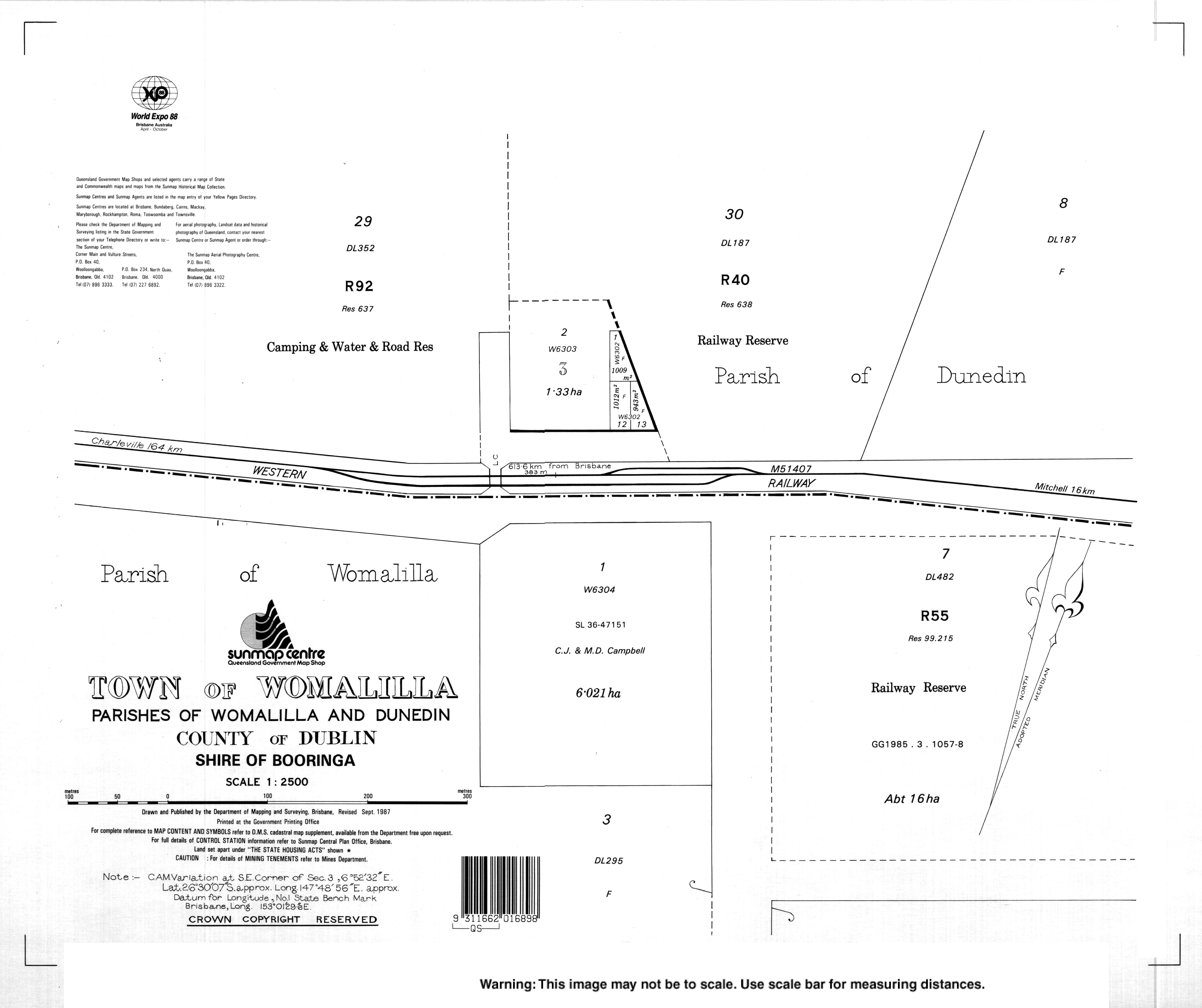
The town's name is derived from a pastoral run name used from 1862, reportedly an Aboriginal word group for trees by a creek (from womal meaning tree/timber and illa meaning creek). [2]

Womalilla Creek No 1 Provisional School and Womalilla Creek No 2 Provisional School were to be opened together in 1913 to operate as a pair of part-time schools (meaning they would share one teacher between the two schools. However, the No 2 school opened on 24 August 1913 but it was not until 3 July 1914 that the No 1 school opened. Both schools closed in 1929 due to low student numbers. [7]

On 17 April 1935, the new Womalilla Provisional School opened and operated on a full-time basis. In 1937, it became Womalilla State School. The school closed in 1954. [7] [8]

Demographics

In the 2016 census, the locality of Womalilla had a population of 39 people. [9]

In the 2021 census, the locality of Womalilla had a population of 72 people. [1]

Related Research Articles

<span class="mw-page-title-main">Mitchell, Queensland</span> Town in Queensland, Australia

Mitchell is a rural town and locality in the Maranoa Region, Queensland, Australia. The town services the local area, a cattle and sheep farming district. In the 2021 census, the locality of Mitchell had a population of 995 people.

<span class="mw-page-title-main">Gumlu, Queensland</span> Town in Queensland, Australia

Gumlu is a town and coastal locality in the Whitsunday Region, Queensland, Australia. In the 2021 census, the locality of Gumlu had a population of 124 people.

<span class="mw-page-title-main">Yuleba</span> Town in Queensland, Australia

Yuleba is a rural town and locality in the Maranoa Region, in the south-west of Queensland, Australia. In the 2021 census, the locality of Yuleba had a population of 271 people.

<span class="mw-page-title-main">Mungallala</span> Town in Queensland, Australia

Mungallala is a rural town and locality in the Maranoa Region, Queensland, Australia. In the 2021 census, the locality of Mungallala had a population of 85 people.

Yandilla is a rural locality in the Toowoomba Region, Queensland, Australia. In the 2021 census, Yandilla had a population of 50 people.

<span class="mw-page-title-main">Amby, Queensland</span> Town in Queensland, Australia

Amby is a rural town and locality in the Maranoa Region, Queensland, Australia. In the 2021 census, the locality of Amby had a population of 49 people.

<span class="mw-page-title-main">Muckadilla, Queensland</span> Town in Queensland, Australia

Muckadilla is a rural town and locality in the Maranoa Region, Queensland, Australia. In the 2021 census, the locality of Muckadilla had a population of 38 people.

Wallumbilla North is a rural locality in the Maranoa Region, Queensland, Australia. In the 2021 census, Wallumbilla North had a population of 158 people.

Euthulla is a rural locality in the Maranoa Region, Queensland, Australia. In the 2021 census, Euthulla had a population of 364 people.

<span class="mw-page-title-main">Kalpowar</span> Town in Queensland, Australia

Kalpowar is a town in the North Burnett Region and a locality split between the North Burnett Region and the Bundaberg Region, in Queensland, Australia. In the 2021 census, the locality of Kalpowar had a population of 53 people.

Gunnewin is a rural locality in the Maranoa Region, Queensland, Australia. In the 2021 census, Gunnewin had a population of 55 people.

Mooga is a rural locality in the Maranoa Region, Queensland, Australia. In the 2021 census, Mooga had a population of 30 people.

Nangwee is a rural town and locality in the Toowoomba Region, Queensland, Australia. In the 2021 census, the locality of Nangwee had a population of 65 people.

Pickanjinnie is a rural locality in the Maranoa Region, Queensland, Australia. In the 2021 census, Pickanjinnie had a population of 30 people.

Etna Creek is a rural locality in the Livingstone Shire, Queensland, Australia. In the 2021 census, Etna Creek had a population of 1,029 people.

<span class="mw-page-title-main">Warkon</span> Suburb of Maranoa Region, Queensland, Australia

Warkon is a rural locality in the Maranoa Region, Queensland, Australia. In the 2021 census, Warkon had a population of 30 people.

<span class="mw-page-title-main">Grasstree Beach, Queensland</span> Suburb of Mackay Region, Queensland, Australia

Grasstree Beach is a coastal locality in the Mackay Region, Queensland, Australia. It contains two towns, Grasstree in the centre of the locality and Zelma on the coast. In the 2021 census, Grasstree Beach had a population of 717 people.

<span class="mw-page-title-main">Blythdale, Queensland</span> Town in Queensland, Australia

Blythdale is a rural town and locality in the Maranoa Region, Queensland, Australia. In the 2021 census, the locality of Blythdale had a population of 47 people.

Jackson North is a rural locality in the Maranoa Region, Queensland, Australia. In the 2021 census, Jackson North had a population of 45 people.

<span class="mw-page-title-main">Noorindoo, Queensland</span> Suburb of Maranoa Region, Queensland, Australia

Noorindoo is a rural locality in the Maranoa Region, Queensland, Australia. In the 2021 census, Noorindoo had a population of 71 people.

References

  1. 1 2 3 Australian Bureau of Statistics (28 June 2022). "Womalilla (SAL)". 2021 Census QuickStats. Retrieved 28 February 2023. OOjs UI icon edit-ltr-progressive.svg
  2. 1 2 "Womalilla – town in Maranoa Region (entry 37849)". Queensland Place Names. Queensland Government . Retrieved 28 December 2020.
  3. "Womalilla – locality in Maranoa Region (entry 47469)". Queensland Place Names. Queensland Government . Retrieved 28 December 2020.
  4. "Queensland Globe". State of Queensland . Retrieved 2 January 2018.
  5. Google (1 October 2021). "Womalilla, Queensland" (Map). Google Maps . Google. Retrieved 1 October 2021.
  6. "Ooline – locality unbounded in Maranoa Regional (entry 39305)". Queensland Place Names. Queensland Government . Retrieved 14 August 2022.
  7. 1 2 Queensland Family History Society (2010), Queensland schools past and present (Version 1.01 ed.), Queensland Family History Society, ISBN   978-1-921171-26-0
  8. "Agency ID 9280, Womalilla State School". Queensland State Archives . Retrieved 28 January 2021.
  9. Australian Bureau of Statistics (27 June 2017). "Womalilla (SSC)". 2016 Census QuickStats. Retrieved 20 October 2018. OOjs UI icon edit-ltr-progressive.svg